Photo Monitoring
Photography is a powerful and affordable way to document all kinds of environmental issues. We'll be collecting different techniques and tips here -- stay tuned and pitch in where you can! We'll be starting with a focus on #timelapse photography:
Why
Timelapse is a visual form that:
- is relatively cheap to collect
- produces easier-to-read data: photos
- can give good visual context to a problem, compared to (or paired with) sensor data
- situates the data in a timeline
What environmental problems might this apply to
Timelapse photography, or photographic monitoring is a good way to document the changes in a landscape over time, or an incident you need images of when you might not be there to capture them in person such as:
- sediment runoff in a stream from a disturbed site
- the changes in opacity of a smoke stack
- an explosion at a mining site
What limitations does the method have
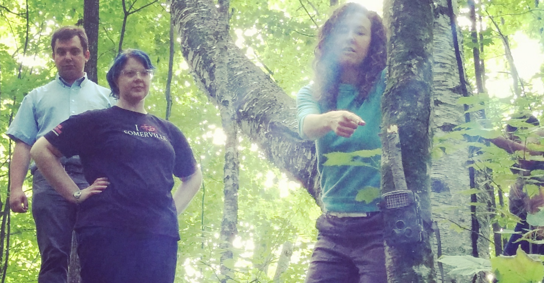
- To set up the camera, you will need access to a secure location where your site of interest can be seen.
- Depending on how often you have the camera set to take photos, you could end up with a lot of images to go through.
- There have been documented challenges in capturing images with glare (from the sun, snow and water) (see Frequently Asked Questions)
Where do conversations about this method happen
- Discussions around photographic monitoring are happening on the Midwest group through a few on-going projects, as well as on publiclab.org through this page (see the Actives, Frequently Asked Questions, and Updates sections below)
Midwest group: publiclab-midwest
About the data
Type of data This method produces data in the form of images. Most cameras are also able to timestamp images.
Addons:
- Some cameras also have the ability to capture GPS data.
- This monitoring method can be paired with weather monitoring stations for a richer data set.
- Sending images to the internet has been another add-on for these type of projects.
Uses for the data
- Government agencies often find photographic data useful evidence. Read more about this here..
- Photographs of events or land change are useful tools in persuasion for publications, or in public comment. Read more about this here.
How to get a timelapse camera
Timelapse cameras can be found at sporting goods stores and online. They are also called "trail cameras" or "game cameras." Public Lab has a few time lapse cameras that can be loaned out for projects. Interested in starting a timelapse monitoring project? Post a note about what you're interested in doing with the tag timelapse so we can learn about it!
Timelapse Activities
Timelapse photography is a way to automatically trigger a camera on an interval -- for example, every minute, or every hour.
Here are some posted activities related to timelapse; we're still seeking a clear guide to setting up and using a #trail-cam to do timelapses, so please reach out if you're able to help document this!
Activities should include a materials list, costs and a step-by-step guide to construction with photos. Learn what makes a good activity here.
Frequently Asked Questions
We're collecting and working our way through a wide array of questions about timelapse photography -- if you can contribute your own questions, or answer others', please do!
Ask a question about timelapse photography
Frac sand photographic monitoring
There's some good resources posted on this page which are specific to water monitoring or monitoring of frac sand sites -- check it out, and we're working to open some of these ideas up into questions and activities soon.