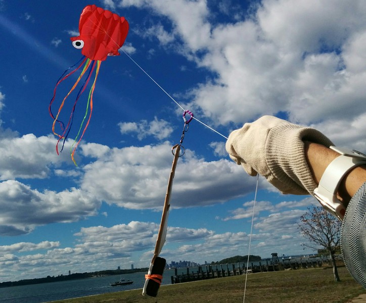
Aerial Photography
This is an open source community effort to develop simple, low-cost aerial photography methods for a range of conditions. All open hardware and software efforts are welcome here!
There are several sub-categories:
 |
 |
 |
|---|---|---|
| Balloon mapping | Kite mapping | Pole Mapping |
Also:
- Kite making - make your own!
- Balloon Mapping Materials - where to get them!
- Camera selection
- Photo rigs - connect your camera to your balloon/kite/etc!
- MapKnitter - Stitching images into maps!
- Mapping curriculum - a range of useful resources
You can join in by:
- Reading about goals and asking great questions
- Trying (and adding to) our community-made how-to guides
- Building on others’ work; adapt, hack and remix the kits to refine and expand them
Activities
Activities should include a materials list, costs and a step-by-step guide to construction with photos. Learn what makes a good activity here.
Starter Kits
Public Lab’s Kits initiative offers starter kits for kite and balloon photography. The point of the kits is to provide a shared reference design for building experimental setups onto. You can also use our guides as a resource for building or purchasing materials of your own.
Public Lab Store's Aerial Photography and Mapping Kits
Questions
Ask a question about aerial photography
| Title | Author | Updated | Likes | Comments |
|---|---|---|---|---|
| Balloon mapping workshop for a street festival in London | @ClimateArt | over 2 years ago | 1 | 1 |
| What is the easiest and cheapest way to make a kite big enough to carry a camera? | @warren | about 7 years ago | 0 | 1 |
| Where are people compiling lists of potential pollution sites following Hurricane Harvey? | @warren | about 7 years ago | 2 | 3 |
| What are some sources of new aerial imagery of Harvey damages? | @warren | about 7 years ago | 2 | 6 |
| How do I share lots (gigabytes, or thousands) of photos online, cheaply and easily? | @warren | about 7 years ago | 1 | 1 |
| How do you merge GPS logger data into photographs? | @warren | about 7 years ago | 1 | 11 |
| Cheap, lightweight GoPro alternatives for aerial mapping? | @warren | over 7 years ago | 3 | 14 |
| User Interface on Mac | @mlapey | over 7 years ago | 0 | 2 |
| please help! | @ROCKETMAN | over 7 years ago | 0 | 1 |
| how do i get my old map | @jgee7 | over 7 years ago | 0 | 0 |
Design philosophy
These tools are being developed to provide a low cost, easy to use, and safe methods for making maps and aerial images. Over the last few years, we’ve built a global community of mappers who are engaged in discussion around the development and use of this tool and others.
Normally aerial maps are made from satellites and airplanes. The balloon and kite ground-based approach introduces an on-demand capability where events or environmental conditions are mapped at a specific moment in time. Our community is particularly interested in applying this to civic and environmental issues.
Maps are often used by those in power to exert influence over territory, or control territorial narratives. "Grassroots mapping" attempts to invert this dynamic by using maps as a mode of communication and as evidence for an alternative, community-owned definition of a territory. To date, our tools have been used to contest official maps or rhetoric by enabling communities to map sites that are not included in official maps. In Lima Peru, members of an informal settlement developed maps of their community as evidence of their habitation, while on the Gulf Coast of the US, locally produced maps of oil are being used to document damage that is underreported by the state.