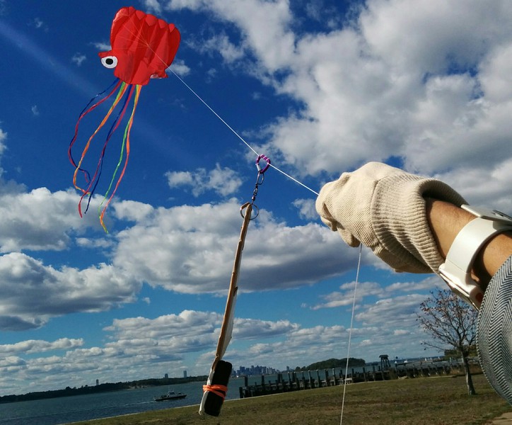
Aerial Photography
This is an open source community effort to develop simple, low-cost aerial photography methods for a range of conditions. All open hardware and software efforts are welcome here!
There are several sub-categories:
Also:
- Kite making - make your own!
- Balloon Mapping Materials - where to get them!
- Camera selection
- Photo rigs - connect your camera to your balloon/kite/etc!
- MapKnitter - Stitching images into maps!
- Mapping curriculum - a range of useful resources
You can join in by:
- Reading about goals and asking great questions
- Trying (and adding to) our community-made how-to guides
- Building on others’ work; adapt, hack and remix the kits to refine and expand them
Activities
Activities should include a materials list, costs and a step-by-step guide to construction with photos. Learn what makes a good activity here.
Add an activity Request an activity guide
Guides should include a materials list and a step-by-step construction guide with photo documentation. Learn what makes a good activity here.
Starter Kits
Public Lab’s Kits initiative offers starter kits for kite and balloon photography. The point of the kits is to provide a shared reference design for building experimental setups onto. You can also use our guides as a resource for building or purchasing materials of your own.
Public Lab Store's Aerial Photography and Mapping Kits
Questions
Ask a question about aerial photography
| Title | Author | Updated | Likes | Comments |
|---|---|---|---|---|
| Balloon mapping workshop for a street festival in London | @ClimateArt | over 2 years ago | 1 | 1 |
| What is the easiest and cheapest way to make a kite big enough to carry a camera? | @warren | about 7 years ago | 0 | 1 |
| Where are people compiling lists of potential pollution sites following Hurricane Harvey? | @warren | about 7 years ago | 2 | 3 |
| What are some sources of new aerial imagery of Harvey damages? | @warren | about 7 years ago | 2 | 6 |
| How do I share lots (gigabytes, or thousands) of photos online, cheaply and easily? | @warren | about 7 years ago | 1 | 1 |
| How do you merge GPS logger data into photographs? | @warren | about 7 years ago | 1 | 11 |
| Cheap, lightweight GoPro alternatives for aerial mapping? | @warren | over 7 years ago | 3 | 14 |
| User Interface on Mac | @mlapey | over 7 years ago | 0 | 2 |
| please help! | @ROCKETMAN | over 7 years ago | 0 | 1 |
| how do i get my old map | @jgee7 | over 7 years ago | 0 | 0 |