About the Public Laboratory for Open Technology and Science
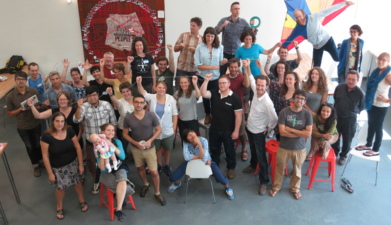
The Public Laboratory for Open Technology and Science (PLOTS) is a community which develops and applies open-source tools to environmental exploration and investigation. By democratizing inexpensive and accessible “Do-It-Yourself” techniques, Public Laboratory creates a collaborative network of practitioners who actively re-imagine the human relationship with the environment.
The core PLOTS program is focused on “civic science” in which we research open source hardware and software tools and methods to generate knowledge and share data about community environmental health. Our goal is to increase the ability of underserved communities to identify, redress, remediate, and create awareness and accountability around environmental concerns. PLOTS achieves this by providing online and offline training, education and support, and by focusing on locally-relevant outcomes that emphasize human capacity and understanding.
Join now at: publiclaboratory.org/join
We're developing new tools in the spirit of Grassroots Mapping, meaning:
- low cost
- data legibility (including a preference for maps and other rich visual means of representation)
- ease of use/low barrier to entry
- public participation
- high quality, environmentally and socially relevant data
- creative reuse of consumer technology
- open source and user modifiable design
Useful pages
- Contribute - how to participate in Public Laboratory
- Places - the local communities we work with
- Priorities - our main concerns and goals
- Tools - the technologies we're developing and using
- Media - upcoming events we're speaking at, our publications, and press coverage
- Calendar - PLOTS-related events, meetings, classes, deadlines, and other dates we're watching out for
Who we are- Staff
PLOTS is open for anyone to join -- please sign up! However it was started by 7 people, most of whom were involved in the citizen mapping of the BP oil spill starting in 2010:
- Jeffrey Warren: Director of Research Center for Future Civic Media Fellow, 2008-10; Partner & co-founder, Vestal Design; B.A. Yale; M.S. MIT, 2010; Cartographer
- Liz Barry: Director of Urban Environments Director of TreeKIT; Faculty at Parsons, Pratt, Columbia. Urban designer and landscape architect, SOM 2007-09
- Shannon Dosemagen: Director of Community Engagement, Education and Outreach Oil Spill Response Coordinator, Louisiana Bucket Brigade 2009-11; Grassroots Mapping Gulf Coast Coordinator; M.S. Anthropology 2009
- Adam Griffith: Director of Science and Coastal Environments Director of Beachcare.org through the Program for the Study of Developed Shorelines at Western Carolina University, Teach for America, 1999-2001
- Stewart Long: Director of Geography and Data GonzoEarth mapping services, Grassroots Mapping Gulf Coast map processing & publication lead
- Mathew Lippincott: Director of Production and Production in Education Artist and Designer, Co-Founder of Cloacina; Partner, Biluna Birotunda Design; B.A. Oberlin College
- Sara Wylie: Director of Toxics and Health Research Co-Director MIT Center for Future Civic Media ExtrAct Project, ABD MIT History Anthropology Science Technology and Society, Part-time faculty RISD Digital+Media Department, B.A. University of Chicago.
PLOTS Board of Directors
PLOTS is currently in the process of filing 501(c)3 papers in Massachusetts, the founding board of Public Laboratory includes:
Eymund Diegel Eymund Diegel is a South African trained urban planner who first became interested in real time mapping technologies when creating maps for constantly changing informal settlements in Africa. With the digital technology revolution, he is exploring how personal media devices, such as cell phones, can create network maps of how people live in their communities, and how those “density trails” can provide more accurate mapping. He lives by the Gowanus Canal, a polluted Superfund site in Brooklyn, NY, where he works with community groups to create time lapse “digitally transparent” maps, for neighbors to better understand what was historically under their feet, and what they can do about it.
Mikel Maron Mikel Maron is a programmer and geographer working for impactful community and humanitarian uses of open source and open data. He is co-founder of Ground Truth Initiative, and of the Map Kibera project. He's on the Board of the OpenStreetMap Foundation, and President of the Humanitarian OpenStreetMap Team, having helped to facilitate the OSM response to the Haiti earthquake. He's travelled widely, organizing projects in India, Palestine, Egypt, Swaziland, and elsewhere. Previously to this, he co-founded Mapufacture and worked on collaborative platforms, geoweb standards, and various applications, with a wide spectrum of organizations from UN and government agencies to anarchist hacker collectives.
Dr. Christine Walley Christine J. Walley is an Associate Professor of Anthropology at MIT. She conducts research on environmental politics in both East Africa and the United States. Her first book Rough Waters: Nature and Development in an East African Marine Park (Princeton University Press, 2004) explored contestation over Tanzania’s first national marine park as well as competing conceptions of nature and development found among international environmental organizations, island residents, and national government officials. Her second book Exit Zero: An Anthropologist’s Account of Family and Class in Southeast Chicago (forthcoming, University of Chicago Press) considers the environmental implications of the rise and fall of the steel industry on Chicago’s Southeast Side and engages with questions of environmental justice.
Address
The best way to get in touch is by email, at team@publiclaboratory.org. But we also receive mail at:
Public Laboratory P.O. Box 426113 Cambridge, MA 02142

