About the Public Laboratory for Open Technology and Science
The Public Laboratory for Open Technology and Science (PLOTS) is a community which develops and applies open-source tools to environmental exploration and investigation. By democratizing inexpensive and accessible “Do-It-Yourself” techniques, Public Laboratory creates a collaborative network of practitioners who actively re-imagine the human relationship with the environment.
The core PLOTS program is focused on “civic science” in which we research open source hardware and software tools and methods to generate knowledge and share data about community environmental health. Our goal is to increase the ability of underserved communities to identify, redress, remediate, and create awareness and accountability around environmental concerns. PLOTS achieves this by providing online and offline training, education and support, and by focusing on locally-relevant outcomes that emphasize human capacity and understanding.
Join now at: publiclaboratory.org/join
We're developing new tools in the spirit of Grassroots Mapping, meaning:
- low cost
- data legibility (including a preference for maps and other rich visual means of representation)
- ease of use/low barrier to entry
- public participation
- high quality, environmentally and socially relevant data
- creative reuse of consumer technology
- open source and user modifiable design
Useful pages
- Contribute - how to participate in Public Laboratory
- Places - the local communities we work with
- Priorities - our main concerns and goals
- Tools - the technologies we're developing and using
- Media - upcoming events we're speaking at, our publications, and press coverage
- Calendar - PLOTS-related events, meetings, classes, deadlines, and other dates we're watching out for
Who we are
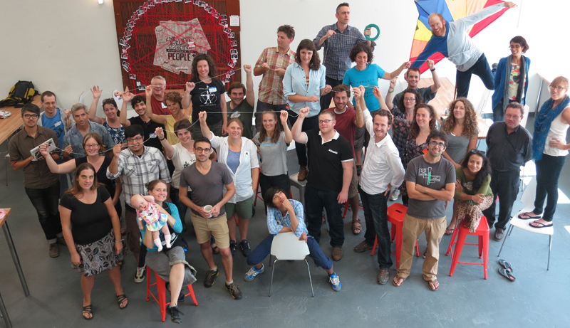
PLOTS is open for anyone to join -- please sign up! However it was started by 7 people, most of whom were involved in the citizen mapping of the BP oil spill starting in 2010:
- Jeffrey Warren: Director of Research Center for Future Civic Media Fellow, 2008-10; Partner & co-founder, Vestal Design; B.A. Yale; M.S. MIT, 2010; Cartographer
- Liz Barry: Director of Urban Environments Director of TreeKIT; Faculty at Parsons, Pratt, Columbia. Urban designer and landscape architect, SOM 2007-09
- Shannon Dosemagen: Director of Community Engagement, Education and Outreach Oil Spill Response Coordinator, Louisiana Bucket Brigade 2009-11; Grassroots Mapping Gulf Coast Coordinator; M.S. Anthropology 2009
- Adam Griffith: Director of Science and Coastal Environments Director of Beachcare.org through the Program for the Study of Developed Shorelines at Western Carolina University, Teach for America, 1999-2001
- Stewart Long: Director of Geography and Data GonzoEarth mapping services, Grassroots Mapping Gulf Coast map processing & publication lead
- Mathew Lippincott: Director of Production and Production in Education Artist and Designer, Co-Founder of Cloacina; Partner, Biluna Birotunda Design; B.A. Oberlin College
- Sara Wylie: Director of Toxics and Health Research Co-Director MIT Center for Future Civic Media ExtrAct Project, ABD MIT History Anthropology Science Technology and Society, Part-time faculty RISD Digital+Media Department, B.A. University of Chicago.