Urban Waters Mapping, NOLA
Welcome to the New Orleans Urban Waters Mapping Project!
This community mapping project aims to maps eight urban restoration sites around New Orleans. Join the Gulf Coast Google Group to get involved!
Gulf Coast Google Group
Join us for a mapping trips:
- Saturday, May 23rd to map Bayou Bienvenue
- Saturday, May 30th to map City Park
This data from this project has been collected, compiled and organized by volunteer efforts of the New Orleans Public Lab Community. Over the course of the coming year, we will work to map all of these sites twice. This page is the results of our compiled data as it becomes available. Read more about our project in this article by Chris Staudinger from the NOLA Defender and this research note.
Here is the Toolkit we're making in this project.. Interested in wetlands monitoring? Get started here!
Check out the sites we are working on for this project:
- Bayou St. John at Lake Pontchartrain
- Bayou St. John Scenic Urban Waterway
- Stormwater Wetlands at City Park
- Bayou Bienvenue Shoreline Restoration
- Bayou Bienvenue Waste Water Treatment Plant
- South Shore Restoration Site
- Louisiana Nature Center
- Wetland Watcher's Park
Bayou St. John at Lake Pontchartrain
Map from 10/11/14: Mapped by: Dan Beavers, Dan Henry and Brandi Caro
Stitched by: Joneya Thompson and Catherine Nguyen
 Link to map
Near Infrared Images from 10/21/14:
Mapped by: NOCCA and Scott Eustis
Oblique Link to Data
http://infragram.org/i/545ae8f085ce947d09000506
http://infragram.org/i/54492b9685ce947d090003cd
Bayou St. John Scenic Urban Waterway
Map from 10/11/14: Mapped by: Brian Ruiz and Ryan Crassionnie
Notes on Mapping: We need a bigger pole!
Map from 11/11/14:
Mapped by: Scott Eustis RGB on pole Link to Data: Notes on Mapping: Go Pro Video, too
Near Infrared images from 1/24/15
Stormwater Wetlands at City Park
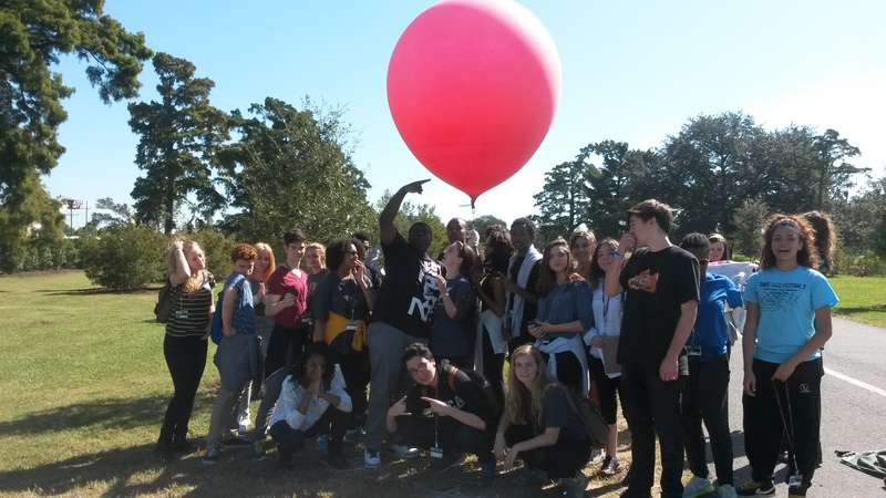
Mapped by: 30 NOCCA Students!
Stitched by Stevie Lewis

Link to Data, Notes on Mapping
Infrared images (October 11th--Blitz)
Map stitched by: Jack Faust and Meghan Speakman
http://infragram.org/i/544004be85ce947d09000331
Map available at mapknitter: https://mapknitter.org/maps/city-park-nir#
Bayou Bienvenue Shoreline Restoration
Mapped by: Link to Data: Notes on Mapping:
Bayou Bienvenue Waste Water Treatment Plant
Map from 10/11/14:
Mapped by: Gerald McCollam, Leslie Williams, Molly Gordon and Claire Loudis Link to Data: Notes on Mapping: Post by Gerald!
Infrared images from 10/11/14 Mapped by: Gerald McCollam, Leslie Williams, Molly Gordon and Claire Loudis
Molly's map https://mapknitter.org/maps/bayou-bienvenue-nir
South Shore Restoration Site
Map from 10/11/14:
Mapped by: Scott Eustis, Lauren Sullivan, Tim Link to Data: Notes on Mapping:
Louisiana Nature Center
Map from 10/11/14: Mapped by: Scott Eustis, Lauren Sullivan, Tim and Amy LeGaux, Stitched by Scott Eustis
http://infragram.org/i/543ca2fe85ce947d090002e9
(Run in Fastie's color scheme)
Wetland Watcher's Park
Map from (12 Dec 2014) Mapped by: Gerald, Bryan, Stevie, Scott Link to Data: Notes on Mapping:
https://mapknitter.org/maps/wetland-watchers-dec-2014
Directions: https://goo.gl/maps/FGM7W
Event Posts from this Project
- The Blitz Report!
- Gerald's post on mapping Bayou Bienvenue
- Scott's note on the Nature Center
- Diana's improvement in the pole


