New York City
This is a revision from May 03, 2011 19:31.
View all revisions
« Back to Northeast US and Eastern Canada
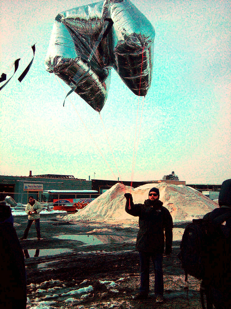
Several groups in the NYC area are using PLOTS tools including balloon mapping to document at-risk ecological sites.
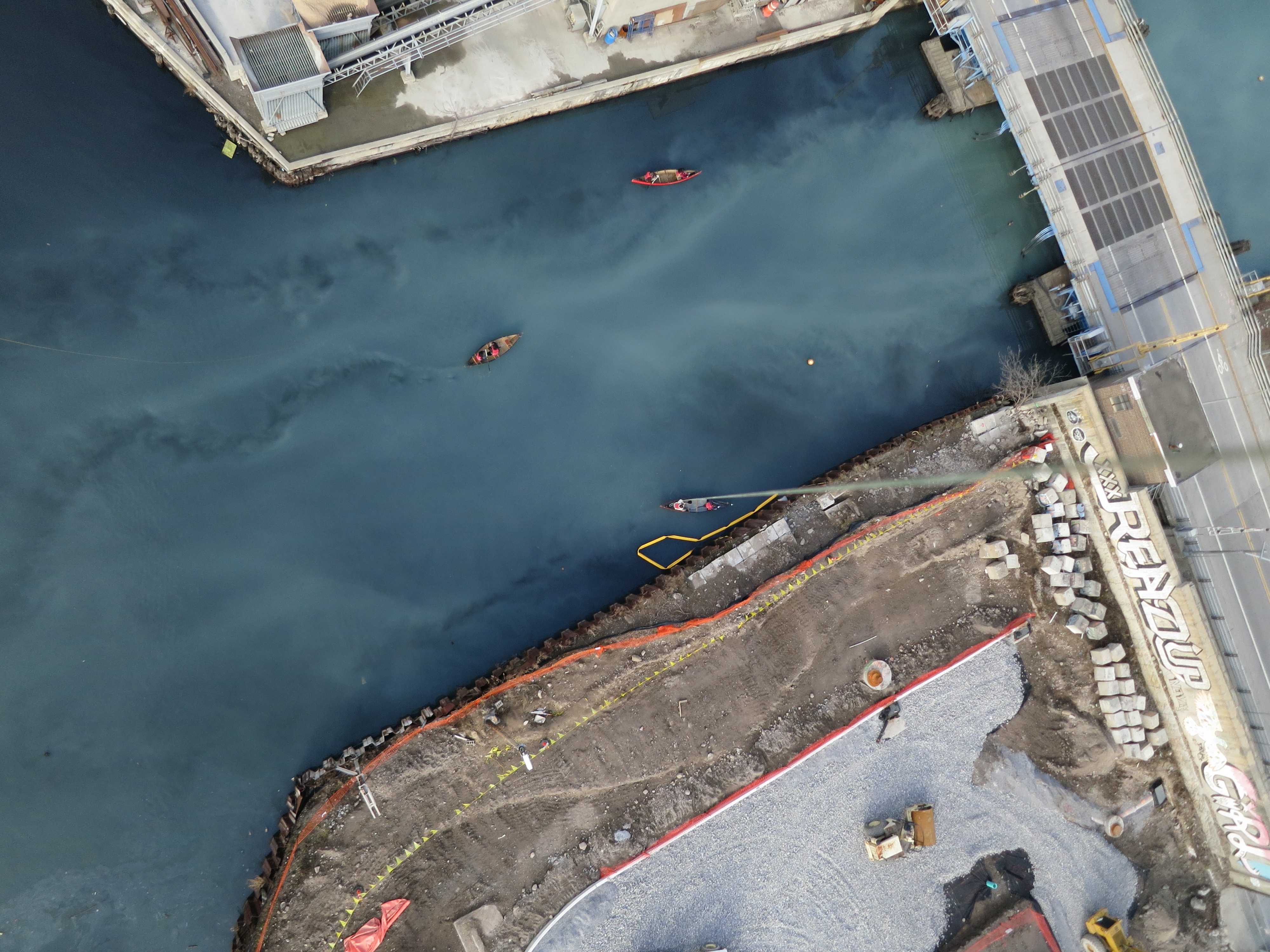
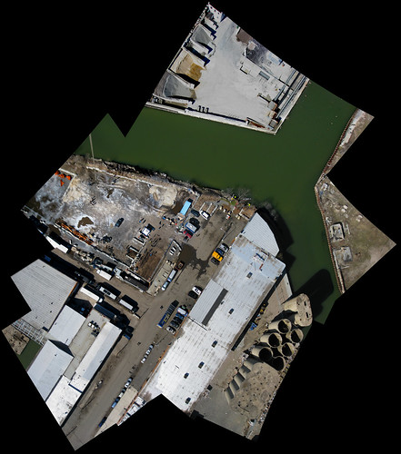
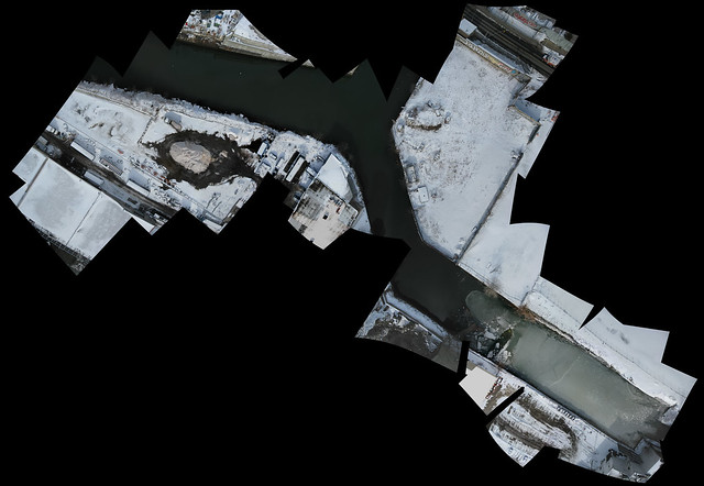
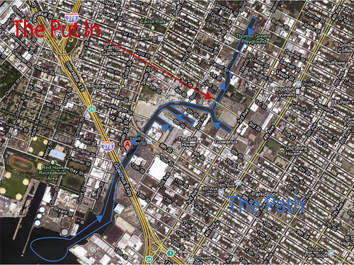
Gowanus Canal Mapping
New York City is home to "Grassroots Mapping Gowanus" which is conducting a monitoring project of the Gowanus Canal cleanup.
We are working on a stereo camera rig for collecting infrared imagery which can reveal patterns/concentrations of vegetation or possible contaminants.
Another regional project is Grassroots Newark, focused on both sides of the Passaic River:
http://grassrootsnewark.wordpress.com/
See pictures from a recent workshop held at Union Square with Parsons and Lang at The New School:
http://grassrootsmapping.org/search/parsons