New York City
This is a revision from January 25, 2011 03:15.
View all revisions
« Back to Northeast US and Eastern Canada
(photo CC Jen Hudon)
Several groups are using PLOTS tools in the NYC area, including students at Parsons, Pratt and Columbia. Some are using balloon mapping to document at-risk ecological sites.
More updates soon, but for now take a look at Grassroots Newark:
http://grassrootsnewark.wordpress.com/
As well as a recent workshop held at Union Square: http://grassrootsmapping.org/search/parsons
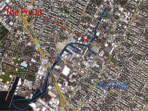
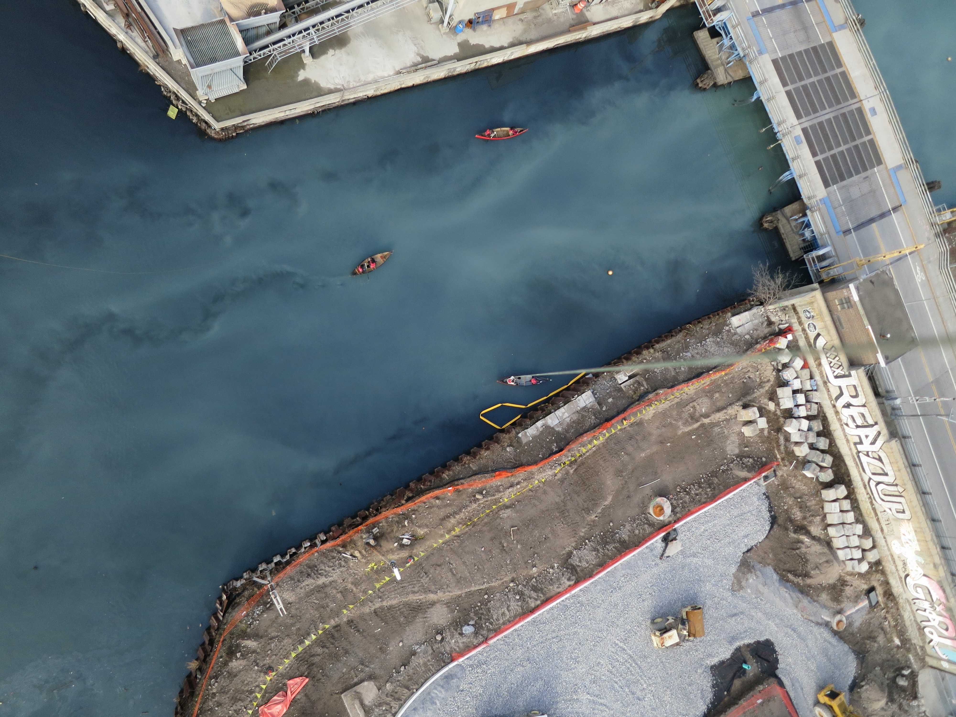
Gowanus Canal Mapping
New York City is home to the "Gowanus division" of Grassroots Mapping, which is conducting a monitoring project of the Gowanus Canal cleanup.