New Orleans Stormwater Project Data
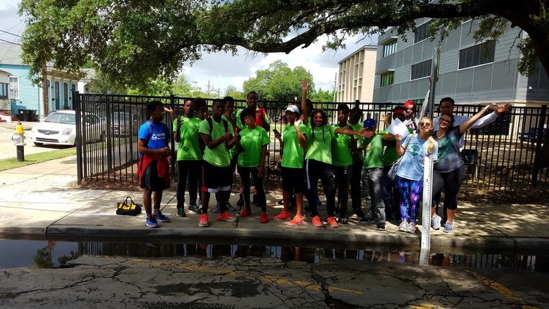
Between June and August 2017, we will be collecting data on three stormwater sites around New Orleans. More information a can be found on the project here..
This wiki is where all the resources we need for monitoring are kept, and where we'll be hosting the data.
Resources for collecting field data
Before heading out:
- Review the post on how to collect rain data from the rain gauge here.
Going out in the field:
Your field work will take about 45 minutes. You will start at the Earth Lab site, visit the Spain/Rampart site and finish at the Villere street site.
Take with you:
- A writing utensil
- 16 Batteries (in case you need to change out both cameras)
- A Field Data Collection Sheet StormwaterSiteSurveyForm_-1-.pdf
- Your smartphone with the ISeeChange app uploaded
- A small container for rain water
- The plopper
- A gauge board
** Every wednesday bring replacement SD cards for the trail cameras
Returning from the field
When you get in from the field, you will need to enter your data from the field, get some supporting data from weather underground and return your monitoring materials.
1) The last information you need on your data sheet will come from Weather Underground. Follow these steps to retrieve the rain data:Weather Underground data gathering info sheet
2) Post the data from your field data sheet here.
3) **Each Wednesday you will also need to upload the photos from the trail cameras to the internet. Follow the steps on the Trail Camera Photo Upload Sheet: PhotoUploadSheet.pdf
4) Return your monitoring materials