Location privacy
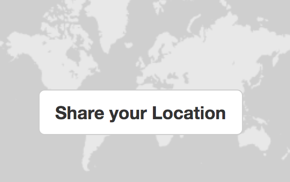
With the new Share your Location feature on your profile page come important questions about how much you should share about where you are. This page discusses this sensitive topic and offers tips.
For more on general anonymity and privacy, see our anonymity page
Location privacy
Advantages of sharing your location :
- helps the community to know where you live approximately
- helps you to find and learn about projects near you (feature which we will be working on in the near future)
However, there are risks to sharing your location, even if it's not exact:
- you may not want to share your identity at all
- you may not want a polluter to know where you live
- you may just want to maintain your privacy even while collaborating with people based on general location
Here are some ways we've tried to make it easy to share your location with varying amounts of precision:
Location blurring
The new system enables "location blurring" of the location shared on your profile or on any note or wiki page on the site. Location blurring truncates your latitude and longitude coordinates, making it harder to see exactly where you are by simply lowering the resolution of your coordinates.
This is like saying "around Chicago" instead of giving your precise address. For example:

When you enable location blurring, you won't see a marker (or if you do, it won't be exactly on your location):

Zoom levels and precision
Lower zoom levels on a map means that the map shows entire continents, while higher zoom levels means that the map can show details, like the streets of a city.
When we represent the world at zoom level zero, it’s 256 pixels wide and high. When we go into zoom level one, it doubles its width and height, and can be represented by four 256-pixel-by-256-pixel images. At each zoom level, each tile is divided in four, and its size doubles, quadrupling the area.
This principle is common in web maps, but how does it relate to the blurred locations we're helping you share?

(source : leafletjs library)
What happens is that the shorter the coordinates (the more they're blurred) the less precise they are, and so they correspond to the scale of a given zoom level, roughly as explained in the chart below.

What this means is that if you blur your location even a little, people won't be able to determine your location to within a certain distance, which can protect your privacy.