Can Public Lab help eradicate guinea worm disease by illuminating unknown and potentially contaminated water sources across a jungle/swampy endemic area?
I'm the Senior Technical Advisor for the Guinea Worm (GW) Eradication Program in Ethiopia. There are only four countries in the world left with GW, with only 30 people inflected with the disease in 2017, down from about four million people a year with GW twenty years ago. I'm wondering if Public Lab can tip the scales in our favor and help us eradicate the second disease since smallpox.
GW is a water born disease and we have been working with the local communities to identify all water sources in our endemic area, but there may be additional water sources deep in "the bush" that we are unaware of, because the streams in the area overflow into new areas each year due to variations in annual rainfall.
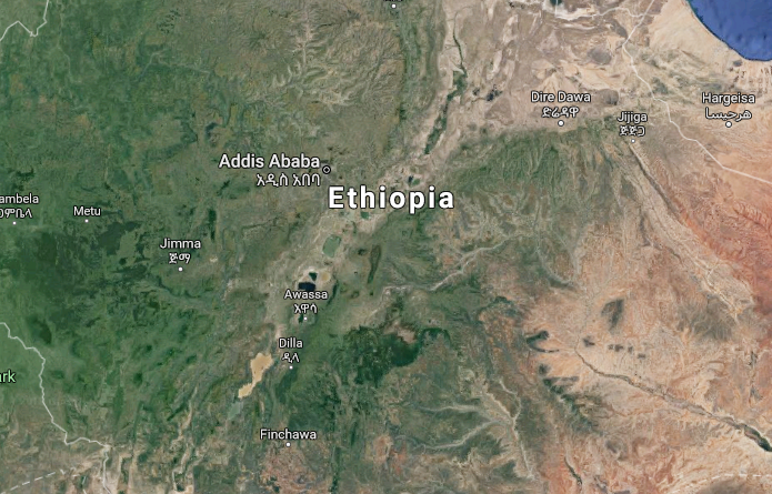
Google Maps of our endemic area doesn't provide enough detail to be helpful for this task.
Ethiopia is uniquely challenging to eradicate because we are the only country in the world with baboons getting GW, so having an extensive water source catalog would allow us to treat all the water sources to eliminate the disease vector called copepods (water fleas) that propagate the disease. There are two epicenters for the disease in neighboring woredas (counties) with a target area of about 100 squared km each. Helium is generally unavailable in Ethiopia.
Thanks in advance for your response(s)! This is a nasty disease of poverty that harms families that are already struggling and we want to wipe it out for good, ASAP.
Best wishes,
Chris
Dear Chris, it's inspiring to hear of your vision for Guinea Worm Eradication. To get started thinking about this, can the water sources be seen from the air or is the ground obscured by tree canopy such that ground-surveying is required to identify their presence?
Is this a question? Click here to post it to the Questions page.
Reply to this comment...
Log in to comment
Hi Liz, thanks for your reply. Some of the water sources are covered by trees and protected from the equatorial sun and dont dry up, but some are just in the "bush" as we call it in East Africa, in a more swampy environment.
Reply to this comment...
Log in to comment
Interesting! @geography76, any ideas from Planet Labs? @jbreen :)
Is this a question? Click here to post it to the Questions page.
Reply to this comment...
Log in to comment
It's been awhile since I did any hydrologic mapping, but I think you can use <5m resolution digital elevation model (DEM) LiDAR data to predict where stream flow will occur. The ephemeral nature of the streams means you'll need timely aerial imagery (kites, maybe?), to check it against and certainly field validation. Have you talked to the folks at Humanitarian Openstreet Map? This sounds right up their alley and they have access to imagery and volunteers who are interested in this specific type of mapping work.
Is this a question? Click here to post it to the Questions page.
Reply to this comment...
Log in to comment
Great work! Can you get GPS signal in the bush or is the canopy too thick? You might check out https://akvo.org/ and http://www.mwater.co/ to see if there is any synergy.
Is this a question? Click here to post it to the Questions page.
Reply to this comment...
Log in to comment