Emery Board Terrain Survey
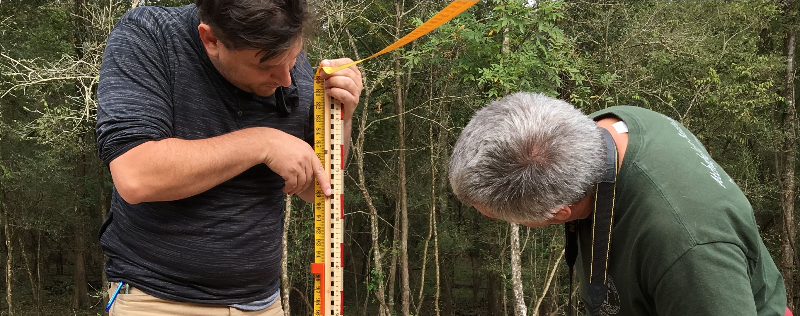
The "Emery Board" terrain survey technique is named after Kenneth O. Emery, a world renowned coastal scientist and geologist. The original Emery Board method was designed for monitoring changes in shoreline topography and could be performed with just two meter sticks and visible horizon; This adaptation allows you to perform the Emery Board technique in any landscape with elevation change!
In essence, this is a quick and inexpensive technique for mapping the slope of a land form. Each data point collected during this survey records the distance between the two emery boards (run) and the amount of elevation change that occurs between the two boards (rise). The run is graphed along the X - axis and the rise along the Y - axis, resulting in a cross section map of the area, like the one below.
| Title | Author | Updated | Likes | Comments |
|---|---|---|---|---|
| Emery Board as Bathymeter: ETP vs Beau Bayou | @eustatic | almost 5 years ago | 3 | 1 |
| Terrain Surveying with Emery Boards | @a1ahna | about 6 years ago | 4 | 5 |
| How to build Emery Board Survey Tools | @a1ahna | about 6 years ago | 7 | 7 |