
What I want to do
I wanted to map the wetlands restoration ongoing at the old Nature Center site in New Orleans east. Despite its neglect after Katrina, it has many dedicated supporters, and Audubon is talking about restoring the wetlands and the educational center. This educational center and urban wetlands have never been replaced, and the buildings are crumbling, and the wetlands have turned to invasive tallow.
There has been a small clearing made to plant cypress, in an attempt to maintain the soil porosity for stormwater retention.
location is 30.032578, -89.963264
My attempt and results
I flew the balloon three times, once in front, once in the middle, and once down a trail.
I used a Canon Powershot A490 with a rock tied and taped down over the shutter, and a juice bottle cage.
Here are some sample shots.
more here: https://www.flickr.com/photos/eustatic/9257347131/in/set-72157634583314457/
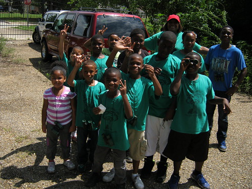
caption Under the Tree educational program, Friends of Joe Brown Park.
caption
caption
caption
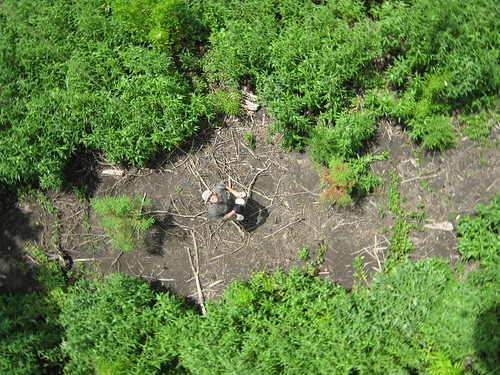
caption in the Cypress planting row. Red leaves = cypress
caption
caption
**caption
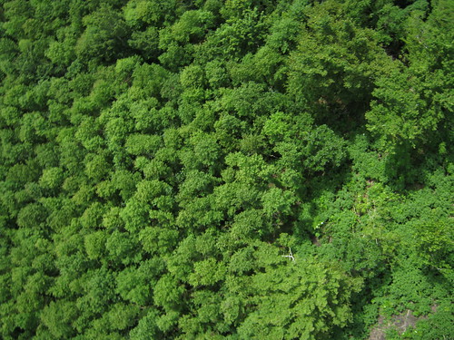
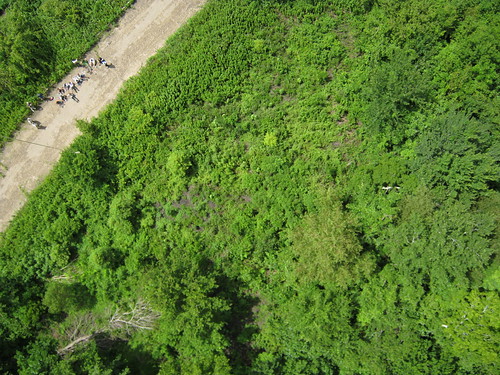
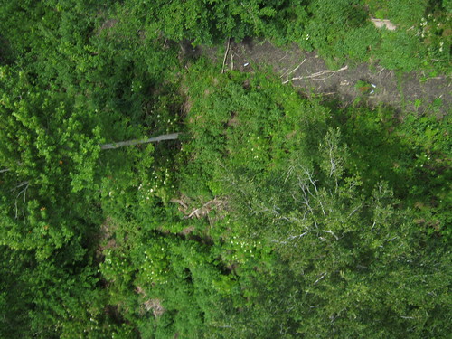
caption Mostly invasive tallow
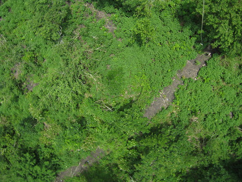
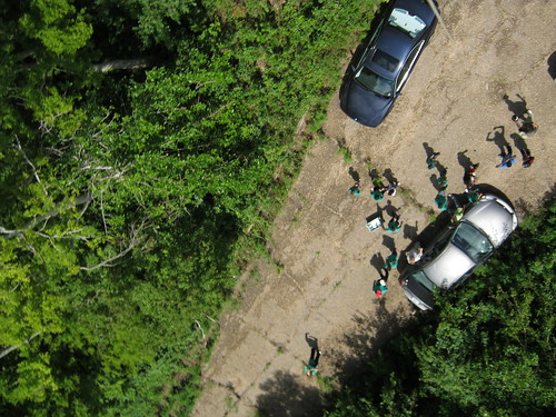
caption Cleared restoration site
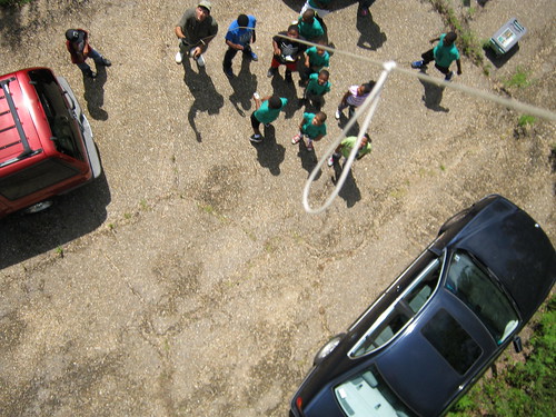
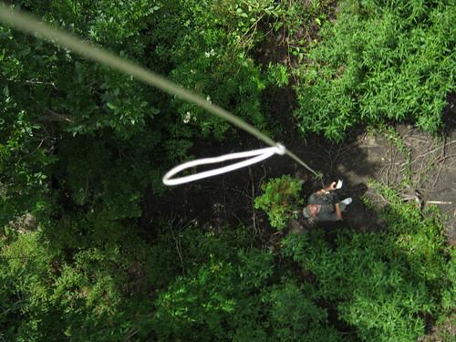
caption Volunteer work crew
Questions and next steps
When is Scott going to get off his ass and port these photos to Mapknitter? well...Maybe I'll ask Stewart for help on this one.
Next step will be to take a dual RGB / NIR image in the fall, as the tallow change color, and all other trees stay green.
0 Comments
Login to comment.