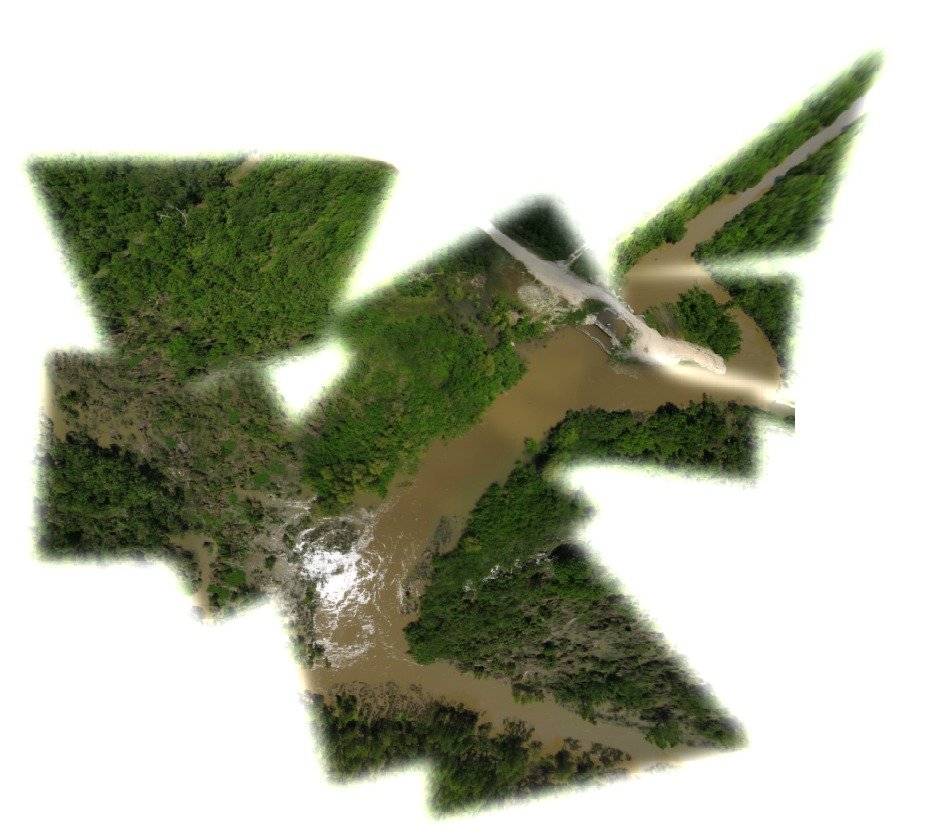
Floodgate control structure. Bohemia, Louisiana
By
29.52878372026082 N, -89.72803790674807 E
275 views
Ground resolution: 4.6 cm/px
Capture date: 2012-04-07T00:00:00
Publication date: 2012-04-24T00:00:00
License: Public Domain
By
29.52878372026082 N, -89.72803790674807 E
197 views
Ground resolution: 4.6 cm/px
Capture date: 2012-04-07T00:00:00
Publication date: 2012-04-24T00:00:00
License: Public Domain
The goal for this site is to document erosion of shoreline at the mouth of the spillway, and theattempt to slow this erosion through volunteer vegetative plantings.
Previous planting efforts (2009-) by Bayou Rebirth have anchored Phragmites into deepwater, (some Spartina alterniflora in mud flats) dampening regular waves (but not larger tidal motion.) Surprisingly, Phragmites hangs on. still pronounced erosion at points, but accumulation of dead Limna feet deep in areas formerly eroding.
Common ground wetlands has been planting cypress trees since the spillway closed.
Notes
Mississippi River cutting through road and levee approximately 2.5km downriver from LA Hwy 39 southernmost road end. images taken April 7, 2012

Cartographer notes
Notes
Mississippi River cutting through road and levee approximately 2.5km downriver from LA Hwy 39 southernmost road end. images taken April 7, 2012
Cartographer notes
0 Comments
Login to comment.