Understanding your wetland site
Workshop 2: Understanding your wetlands site
Identify and learn about your wetland
Goals of this workshop:
This workshop will include a site visit to your wetland. There you will document the wetland by identifying the threats to the ecosystem and setting the focus of your monitoring efforts.
Estimated time: 2.5 hours
What you will need: - Transportation to your wetland site - Field clothes and shoes (wellies/boots) - Clipboards (one for each participant) - Paper (2 per person) - Large chart paper (3 pieces) - Markers (1 per person) - Pens - Stopwatch or watch - Dot stickers (1 sheet per person) - Print out of the wiki on Gulf Coast Wetlands
Workshop Schedule
- Activity 1: Observation (20 min.)
- Activity 2: Identifying our wetland (20 min.)
- Activity 3: Identifying the assets and threats (40 min.)
- Activity 4: Define your problem statement (30 min.)
- Activity 5: Decide on monitoring plan (40 min.)
Workshop Outline
Below is the outline for the workshop. Italicized statements can be used as speaking text.
Activity 1: Observation (20 min)
Facilitator: A lot about working with monitoring is about observation, but not all of observation is about what we can see. Let’s spend a little time working with our senses observing what we can about where we are (Hand out clipboards, paper and pens). For the next 20 minutes we will do an activity that will focus on using our senses to help us with observation. Feel free to move around in this time, but try to do so quietly so everyone can capture their own observations. We will spend two minutes exploring each sense, and then a minute recording observations. I will lead you through the steps: For each below: 2 minutes to observe, 1 minute to record what you observed
- Close your eyes and and observe what can you hear.
- Close your eyes and and observe what you can smell.
- Open your eyes and observe what you can touch.
- Open your eyes and observe what you can see.
Encourage the group to share out what they found (5 min)
Activity 2: Identifying our wetland (20 min)
There are many different types of wetlands here in the Gulf South. Based on our collected observations we will now explore a little bit about what else is at our wetland site, and characterize our wetland. Lets take a look at a few different types of wetlands we have here and try to classify what type of wetland they are.
(Hand out the wetlands page and have participants decide if they can identify the type of wetland the site is, keep in mind it could be a mix of a few. Once everyone has decided what type of wetland it is, use large chart paper and title it: “wetland attributes.)
These types or terms are guides to help us figure out what is here and what could be here, but all wetlands are different, so lets take a moment and expand from our observations to include what other things we have at our site:
(As a group, go over the questions below and record group answers on the the large chart paper:)
- Can we identify any plant species?
- Can we identify any animals or aquatic life?
- What can we observe about the built environment in or around our site?
Suggestion: 10 min break
During this break grab a new piece of chart paper and make headers down the side of it for the categories listed on activity 3 belowActivity 3: Identifying the threats and assets (40 min)
Define threats to the wetland Threats to wetlands come in many forms. Lets try to characterize the threats that could be present in this ecosystem
(10 min) Hand each person a marker and have them fill in the threats that could fall under the categories and apply to the wetland site.
Headers: - Pollution (water quality threats or marine litter) - Invasive species (plants or animals) - Construction - Water flow being tampered or redirected - Sea level rise - Dredging - Other Threats
(10 min) Review the threats you’ve identified together.
Define the assets of your wetlands: Wetlands also provide both natural and human assets to the ecosystem. Lets define what some of the assets of this wetland are. (10 min) On a new piece of chart paper ask people to define the assets or values they see the wetland having. These can be natural or human. Natural (ie species diversity, habitat protection, flood prevention, pollution control etc.) Human (economic benefits, recreation related, culturally important etc.) (10 min) Review the assets you’ve identified together, group them together if there are overlaps.
Activity 4: Define your problem statement (30 min)
(10 min) Hand out three dot stickers to each person. Based on the wetlands assets we defined, and the threats we identified, let’s decide which attributes are most important to protect, and which threats we are most concerned about. To figure this out we will use the sticky dots to poll. Everyone can to put three dots on threat or attributes (3 total). You can use your dots all on one or spread them out across the board. Your dots should represent what you feel is the most pressing threat or most important attribute. (10 min) Participants place dots when everyone is finished tally up the results.
(20 min) When people are finished discuss the threat and attribute that received the most dots. Create a problem statement that defines the threat and a statement that identifies the attribute. Subsequent statements can be made to represent the other threats and attributes, but only one should be the main focus.
Example: - We believe that the name of wetland site’s largest threat to environmental health is ... - This is largely due to ... - The valuable attribute is ... - Protecting this attribute would require ... - Other threats to this site include ... - Other assets of this site include ...
Activity 5: Discuss monitoring options (40 min.)
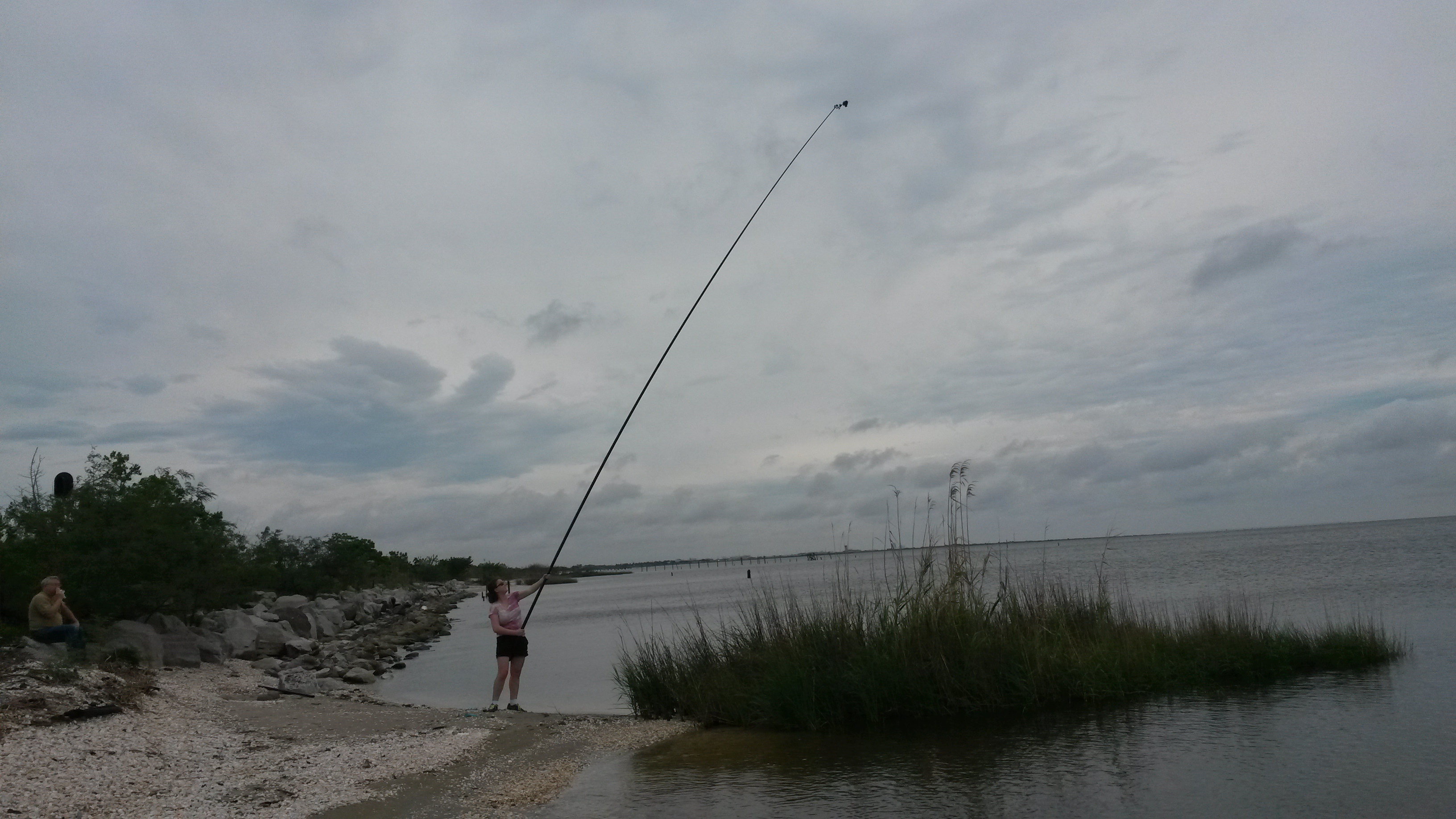
There are several ways to monitor wetlands (refer to the Public Lab wiki to learn more about each monitoring option) - Near Infrared imaging can help you to understand plant health. - Mapping can help monitor for development, flooding, plant change and shoreline migration. - Species survey can help you monitor for what plants and animals exists and help you understand the biodiversity of your site (Check out the Nature Mapping program. This, along with a field guid of plants and animals, can help you track what you're seeing at your site.). - Water quality monitoring can help you identify and understand how pollutants are affecting your waterway.
(40 min) Discussion: Let's pick the monitoring strategy that will work for our group: 1) Discuss the problem statement and if it could be addressed with any of the outlined monitoring techniques. 2) Discuss the pros and cons of each monitoring strategy and identify the type of monitoring your group would like to take on. 3) Review your “threats” and “assets” pages to see if other assets or threats could be captured with this monitoring strategy. 4) Identify what will be monitored, and what from your threats and assets list will not be monitored. (Record these) 5) Identify the timeframe and regularity with which you'll need to monitor the wetland threats and assets.