Start Here
This is one of a series of guides for collaborative environmental research and advocacy projects. "Start Here" is about creating a picture of our place together. This guide covers how to do this with a group using paper and markers. For a followup activity, check out the next guide to putting this info online using mapknitter.
Planning this event
Ahead of time:
- Pick a time that is convenient for the most people involved
- Find a space, it may be useful to be indoors with enough chairs, restrooms, and some wall space or at least floor space available, etc.
- Send invites two weeks to a month in advance
Materials to have on hand:
- nametags
- markers
- chart paper
- tape (wider might be helpful because it's for taping pieces of paper together)
- a camera or phone that can take a picture
Activity 1: Hello and Introductions!
Go around the room with everyone saying their name and their answer to the following question: * When i hear the word [place/area/landscape we identify with], i think of '_____.'
Activity 2: Group photo
Everyone stand up! Capture a picture of the group.
Activity 3: Making our map
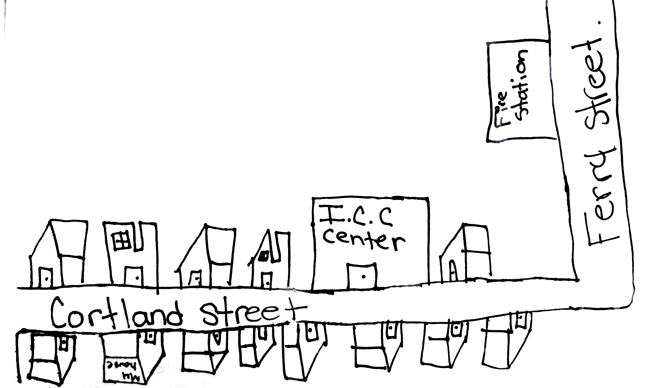
This is sometimes called a "mental mapping" exercise because you will draw important bits of your neighborhood without worrying about actual geographic space. The goal is to set our local knowledge as the context for our future work together. (For reference, see https://mapknitter.org/map/view/2014-02-12-chicago-calumet-river-industrial-corridor)
Note: this activity is organized so that during different moments in this activity people may be doing individual work, then coming together in small groups, and then discussing as an entire group. This style is sometimes referred to as "One, Some, Many."
As facilitator, you may want to respectfully capture some photos of people during the activities.
ONE: each person receives one large piece of paper and a marker to for sketching their own map of the neighborhood. You might prompt the group by mentioning some of the following:
- homes
- businesses
- gardens
- infrastructure
- current and former factories
- pollution sources (example: incinerator, highway traffic)
- vacant lots and what used to be on them
- food stores
- others!
If people are having trouble getting started and ask for guidance, you might suggest that they start drawing a dot, rectangle or line for the first place or road that comes to mind without worrying that their paper "looks like a map". Then they can add in other landmarks without worrying about connecting it all together. Writing words or labels can be good to get some folks going.
You might also prompt the group with questions like: what's worth putting on the map? Are there any sites that we have concerns about, and if so how does that relate to our neighborhood? What's going on here that we are proud of? What are things we would like to improve?

SOME: small groups get together and share their maps. Note what was in common, and what was unique.
MANY: As facilitator, you will tape 6 big sheets together to make one giant sheet and either hang it on the wall or lay it in the center of the group's circle. Then, look at all the maps together and ask people to say what their maps were centered around. Make a quick assessment of what an "average" idea of what the group considers to be the center (it could be a road, or a park, or anything), and draw that shape in the center of the giant sheet to begin the group's map. Then ask people to come up a few at a time and fill in the things they had on their maps.

Review and wrap up
- Ask people to say what they added to the map.
- Ask people to say what they liked about what other people added to the map.
- Ask if there are any controversial things on the map, or if anything got left out.
- Ask if people enjoyed this activity.
- Ask people if they have anything else to share including ideas about how this could be better next time.
- Thank everyone for their time and ask if anyone wants to be involved in writing up how the day went on publiclab.org.
Take another picture of people standing around the giant map; if it's not already on the wall, have them hold it up. Take straight-on pictures to document everyone's individual maps.
Later, either set up a time with the other people who wanted to help do the write-up, or else when you have time in front of your computer, post a research note with the photos, and tag it with your place's name, your project name if it exists yet, and also "mental-mapping".
Looking ahead to next steps:
We can build on what we've created here and use mapknitter to share our story out more broadly.