flushing-bay
Flushing Bay is part of New York City and the Northeast region.
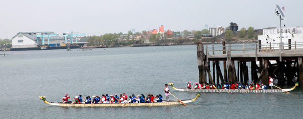
The women of Empire Dragon Boat paddle in Class I waters, defined as "barely acceptable for Fishing and Boating."
We are interested in lobbying our politicians to support infrastructure to get Flushing Bay waters to Class SC (Fishing Boating and Bathing). We will start by collecting pictures of people boating (kids touching water, etc) and aerial photography of the area as these will help media campaigns for getting the water quality standards to match our uses.
This map gives an overview of the water quality standards mandated by each class:

The good news is that NYCDEP does maintain water quality stations within Flushing Creek and near our dock. (See map for attached station codes you want) For this year's Citizens water quality testing, we may want to locate our testing station relative to the DEP E15 station, so as to not duplicate their data, and fill in parts of the shoreline that matter to us - eg closer to CSO BB-06.
We need to review this water quality data to see if there are fluctuations in sewer nutrient loading along the shoreline which would guide Empire Dragon Boat's position on where new constructed wetlands or new boating facilities should go.
supporting data investigations
The GNOME current modeling software is available here. We are looking for a student to use it to understand how the sewage from BB-06 disperses relative to your dock facility.