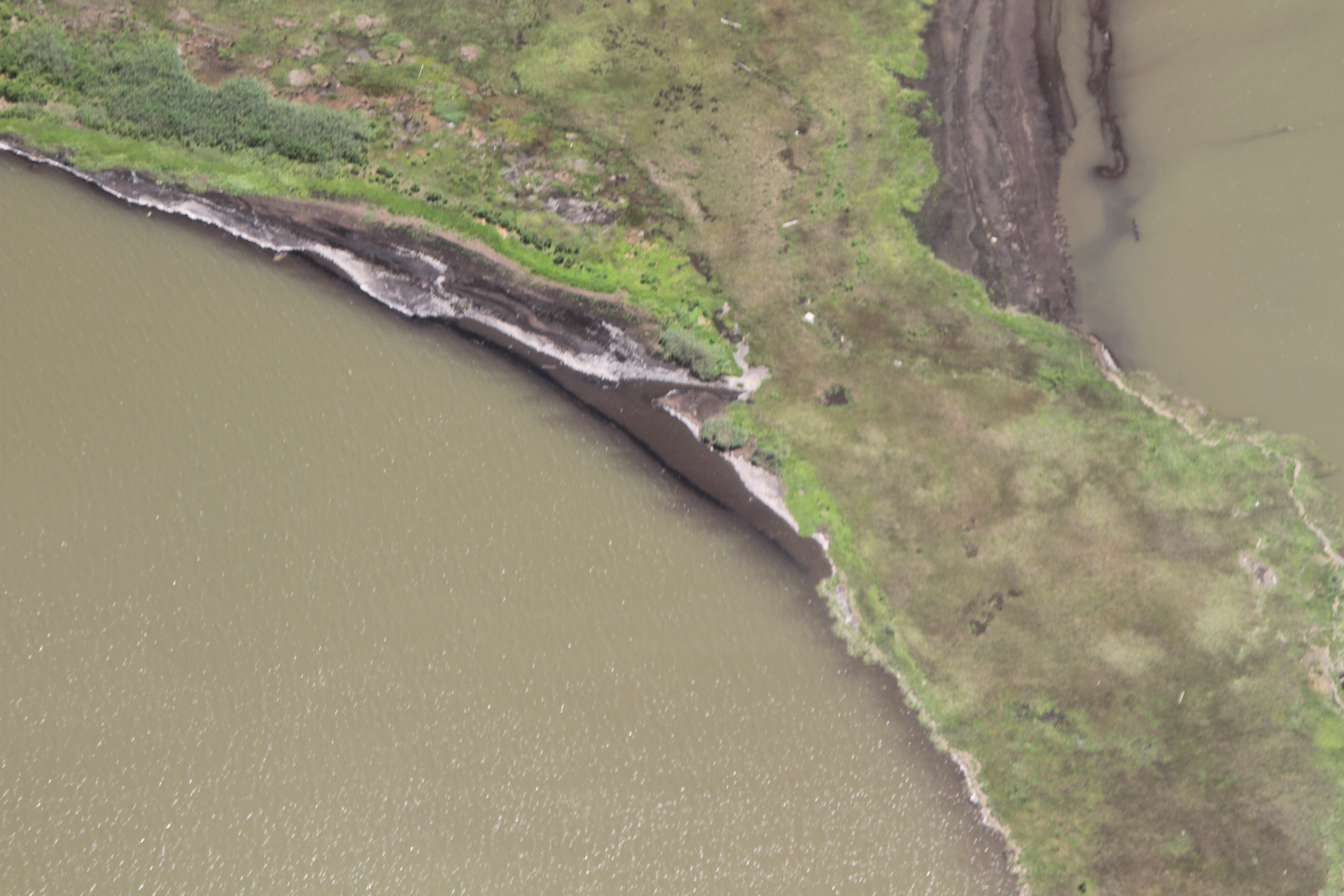
Barataria Bay Mapping Project
This page will be used to organize mapping trips, data sets and all other information related to this project. A description of the project can be found here: http://publiclab.org/notes/Shannon/09-20-2013/patagonia-clothing-company-supports-gulf-coast-mapping-of-barataria-bay
Ioby campaign link:
Contact information to get involved: Scott Eustis: eustatic@gmail.com Shannon Dosemagen: shannon@publiclab.org Becki Chall: becki@publiclab.org
Past post on image stitching in wetlands: http://publiclab.org/notes/gonzoearth/1-4-2012/georectifying-wetlands
First Trip: February 9th
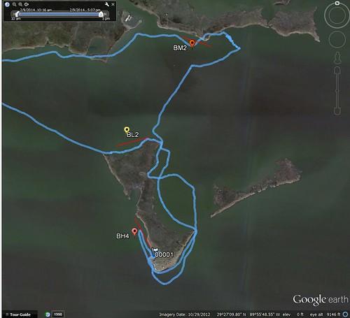
mapknitter placeholders: Feb 9th 1: BL2 Feb 9th 2: [to be done] Feb 9th 3: BM2 [to be done]
Cartography Collective: Second set is not in the Cartography Collective document.
BL1 first set, dark: https://drive.google.com/folderview?id=0B32DNGN8pX_XdlY5b0oxVHpMeE0&usp=sharing
BH4 second set, lack of focus https://drive.google.com/folderview?id=0B32DNGN8pX_XWDFWc3l5alFlNlE&usp=sharing
BM2 third set: https://drive.google.com/folderview?id=0B32DNGN8pX_Xd1I4cTdnWld5MEk&usp=sharing
flickr: https://www.flickr.com/photos/eustatic/sets/72157640862266313/