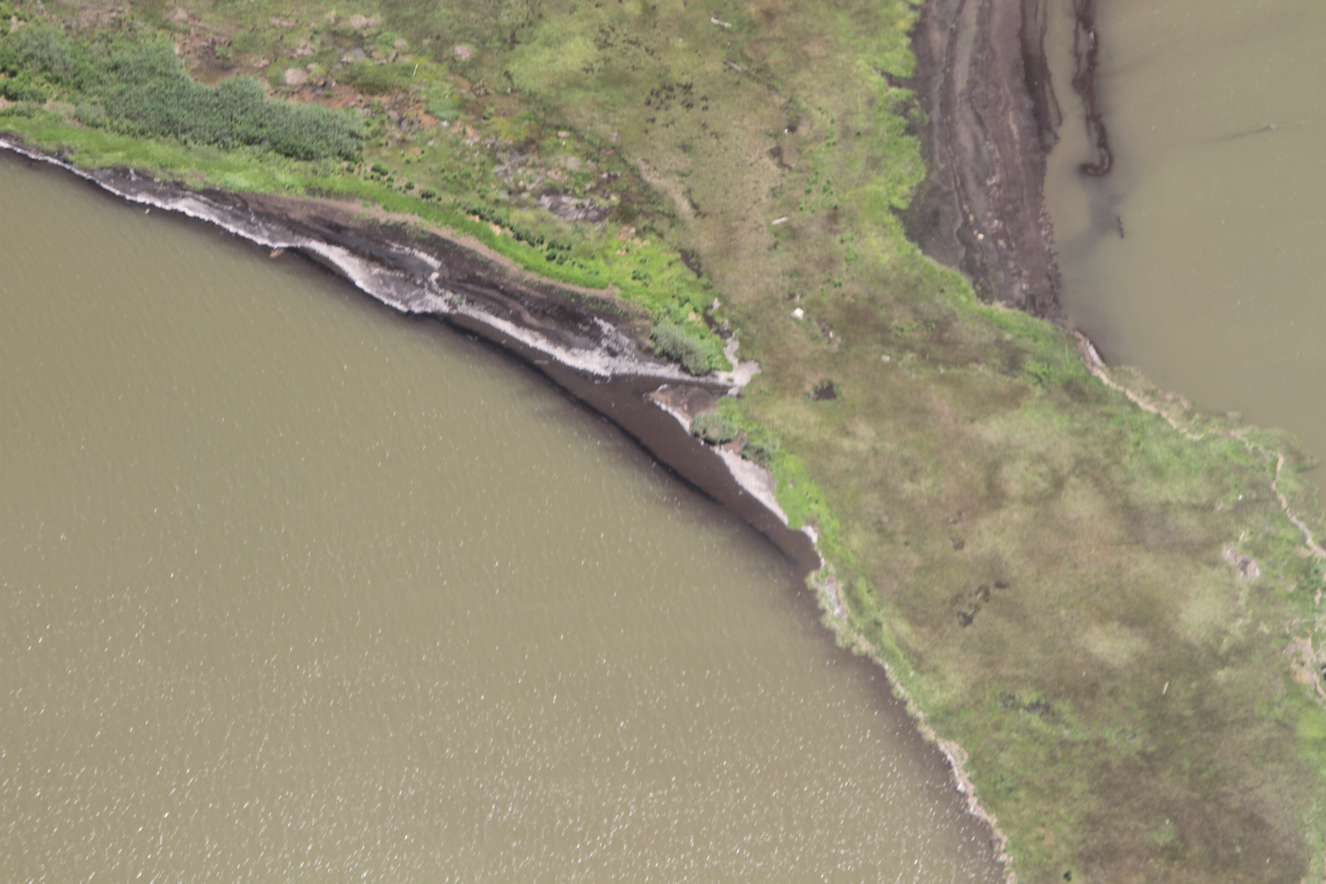
Barataria Bay Mapping Project
This is a revision from September 20, 2013 01:53.
View all revisions
This page will be used to organize mapping trips, data sets and all other information related to this project. A description of the project can be found here: http://publiclab.org/notes/Shannon/09-20-2013/patagonia-clothing-company-supports-gulf-coast-mapping-of-barataria-bay
Contact information to get involved: Shannon Dosemagen: shannon@publiclab.org Scott Eustis: eustatic@gmail.com Becki Chall: becki@publiclab.org
Past post on image stitching in wetlands: http://publiclab.org/notes/gonzoearth/1-4-2012/georectifying-wetlands