Balloon mapping of local invasive species and town mapping
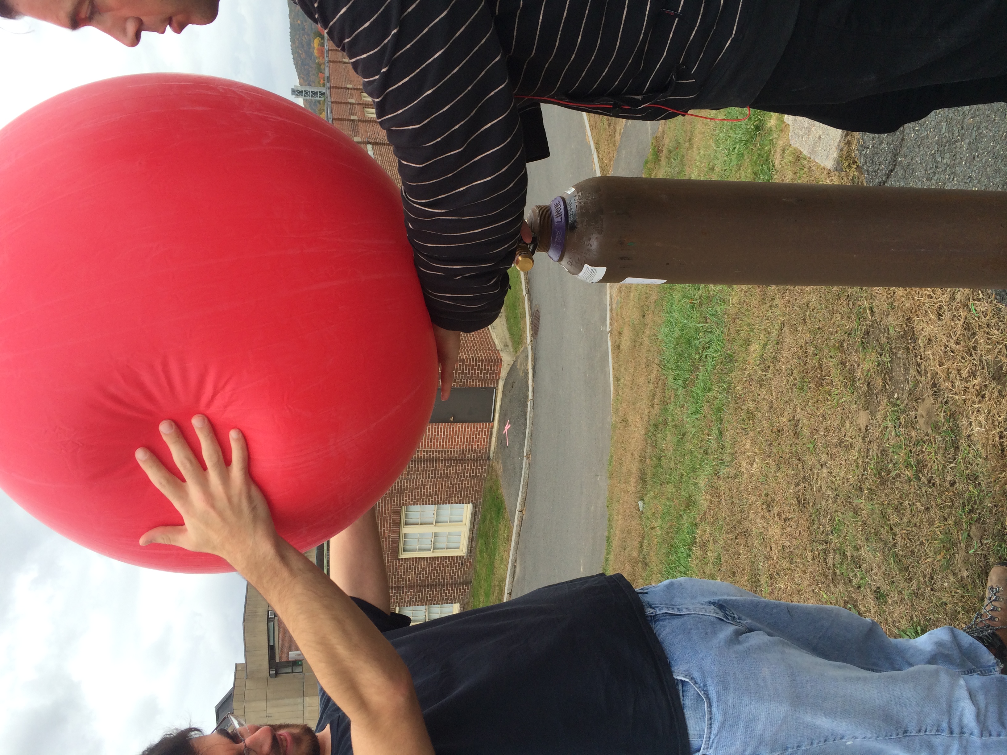
This project has 2 parts to it the first part being an aerial photo mapping of a local invasive species (Water chestnut) at Lake Warner. This study has been previously done at this location so there is previous data to compare it with. But the idea is to use the public lab balloon mapping kit to get aerial footage of the lake and use a camera that's been adjusted to shoot in infra red to see where water chestnut is located throughout lake. Then upload these images into ArcGIS and georefrence it in order to map out and be able to find a measure of how much invasive water chestnut there is. Then possibly compare this to the older photos and see how much has changed over time and if it spreading rapidly.
The second portion to this project (which will actually be done before the invasive species mapping) is aerial mapping in the town of Amherst in an area that is under construction where they want to see where there could potential parking lot made for this apartment building.