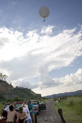
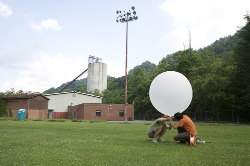
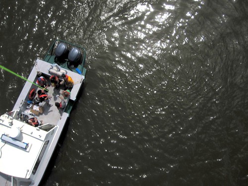
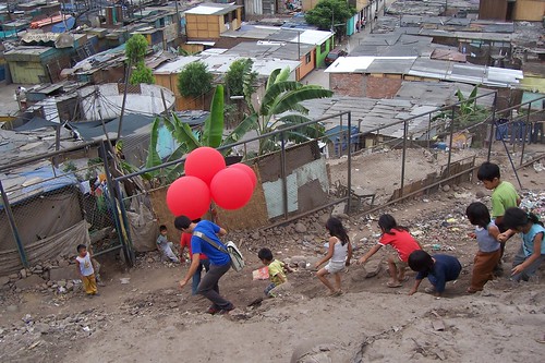
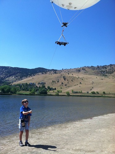
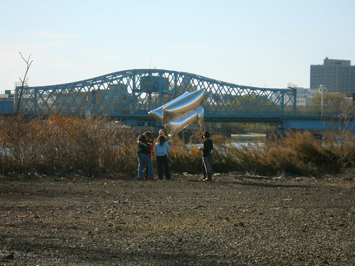
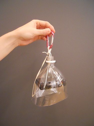
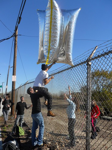
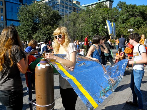
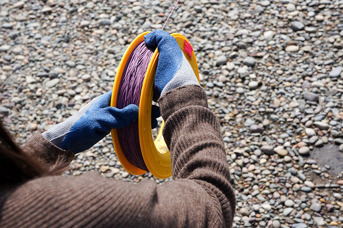
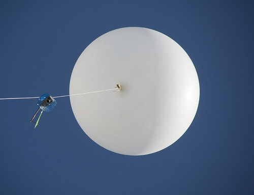
Media on Grassroots Mapping, including pictures of folks balloon and kite mapping
This content is Creative Commons licensed and you are free to use it according to those terms.
Images
Stewart Long's Flickr:
https://www.flickr.com/photos/gonzoearth/6467448221
https://www.flickr.com/photos/gonzoearth/4764423061
https://www.flickr.com/photos/gonzoearth/4765059018
https://www.flickr.com/photos/gonzoearth/6467448221
Jeff Warren's Flickr:
https://www.flickr.com/photos/jeffreywarren/sets/72157623277404600/
https://www.flickr.com/photos/jeffreywarren/sets/72157623910039211/
https://www.flickr.com/photos/jeffreywarren/sets/72157623182467142/
Maps
You can find lots of maps in the Public Lab Archive, but here are links to some of our favorites:
http://publiclab.org/map/wilkinson-bay-east-louisiana/2010-7-22
http://publiclab.org/map/chandeleur-islands-louisiana/2010-05-09
http://publiclab.org/map/isle-grand-terre-louisiana/2010-05-27
http://publiclab.org/map/ocean-springs-missisippi/2010-06-18
Urban mapping:
http://publiclab.org/map/gowanus-brooklyn-ny/2012-2-1
http://publiclab.org/map/jamison-square-portland-oregon/2011-08-17
Some maps of protests and other events:
http://publiclab.org/map/occupy-oakland-10am/2011-11-02
http://publiclab.org/map/occupy-uc-davis-nov-21-2011/2011-11-21
