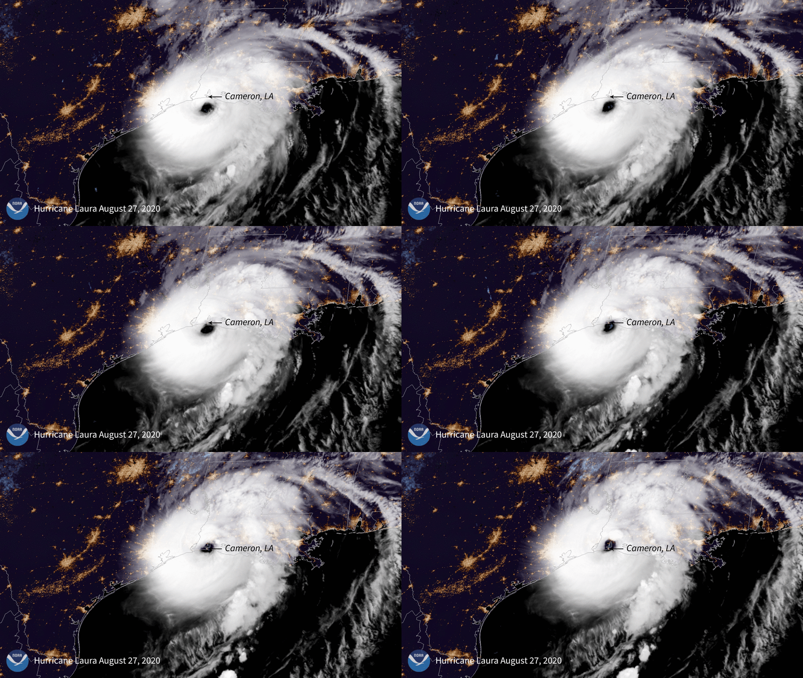
And come with questions. The moment is over, but we're wondering how to use this as a quick response for hurricanes in the USA.
http://cartosco.pe/kioskProject.html#/kioskStart/SY4B4kNc8jsF
WELCOME TO
Hurricane Laura Damage Assessment
Join a project analyzing the damage from Hurricane Laura to petrochemical production facilities on the Gulf Coast.
Hurricane Laura made landfall in Cameron, Southern Louisiana, about 25 miles east of the Texas border, at 1 am on Thursday the 27th, and pushed storm surge into nearby parishes, including Calcasieu, home of the city of Lake Charles. It was a Category 4 storm and one of the most powerful to strike the region in decades.
Over 45% of total U.S petroleum refining capacity is located along the Gulf Coast (US Energy Information Administration). As climate-heated tropical storms become stronger and more frequent, monitoring impacts to these facilities is crucial, as they have the potential to release tons of toxic pollutants into surrounding communities and ecosystems.In this project, you will be analyzing aerial photos from before and after the hurricane, provided by the National Geodetic Survey or HealthyGulf. You will be asked to look for evidence of damage to industrial facilities such as flooding, oil and gas spills, gas or vapor clouds, industrial structure damage, etc.
The data collected from this rapid response project will be used to quickly summarize the scope and extent of the damage, and guide clean up and further investigation efforts.
This project is hosted by Cartoscope, a platform for citizen science mapping, and developed by Healthy Gulf, a Gulf-based non-profit committed to uniting people to protect and restore the natural resources of the Gulf Region.
Thank you for contributing to the efforts to protect the Gulf Coast and everyone who calls it home.

->
<-
Contributing is free and anonymous.
