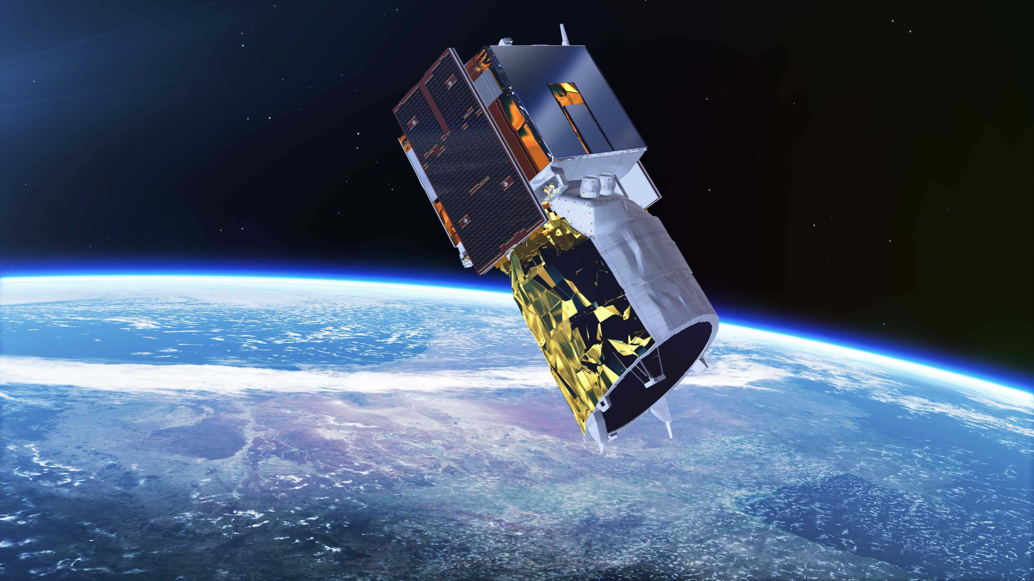
Image: Copyright ESA
Especially in the field of community science, there is often the problem that you may need ad-hoc information and data, but also the missing budget. There are countless data sets that can be used free of charge and are often sufficient for a quick overview or for better planning of your own study.
The ESA (European Space Agency) is a public institution and all its data can be used free of charge. On their side, there are innumerable possibilities to access the measurement data and recordings of the satellites. The only problem: You have to know exactly what you are looking for and which mission or satellite is collecting the data I need.
This is often very confusing for laymen, who deal with it for the first time. Therefore I would like to give you here a short overview of the current running missions and corresponding satellites and data sources.
Note: I refer here exclusively to the Earth observation satellites.
Missions & Satellites
Copernicus Sentinel-1
The Sentinel-1 satellites carry on board a "C-band" radar instrument with a synthetic aperture (SAR) with a resolution of up to 5 meters. This can provide complete data on the earth's land and water surfaces, independent of brightness and cloud cover. The high resolution and return rate of Sentinel-1 allows timely recording of floods on land or oil pollution at sea, as well as long-term series of minute ground movements or vegetation density.
Copernicus Sentinel-2
The Sentinel-2 satellites provide images in the visible and infrared spectrum between 443 and 2190 nm. Its 13 channels are optimized for the observation of land surfaces. The high resolution of up to 10m and the sampling width of 290 km are ideal for detecting changes in vegetation and for making harvest forecasts, mapping forest stands or determining the growth of wild and agricultural plants.
The instrument is also used on coasts and inland waters, for example, to observe algae growth or to track sediment input in river deltas.
Copernicus Sentinel-3
Sentinel-3 was developed to observe the oceans of the world. The satellites use a package of five instruments that can determine the temperature, colour and level of the sea surface with high precision. From this, we can derive information about underwater currents, wave heights or nutrient distribution in the oceans.
The measurement data are also used to determine the energy balance of our planet and the water quality or environmental pollution on the coasts.
Copernicus Sentinel-5P
Sentinel-5 Precursor – also known as Sentinel-5P – is the first Copernicus mission dedicated to monitoring our atmosphere. The satellite carries the state-of-the-art Tropomi instrument to map a multitude of trace gases such as nitrogen dioxide, ozone, formaldehyde, sulphur dioxide, methane, carbon monoxide and aerosols – all of which affect the air we breathe and therefore our health, and our climate.
CryoSat
ESA’s CryoSat mission is dedicated to measuring the thickness of polar sea ice and monitoring changes in the ice sheets that blanket Greenland and Antarctica.
MetOp & meteosat
The Meteorological Operational satellite programme (MetOp) is a European undertaking providing weather data services to monitor the climate and improve weather forecasts.
The MSG satellites are operated as a two-satellite system returning detailed imagery of Europe, Africa and parts of the Atlantic and Indian Ocean every 15 minutes, for operational use by meteorologists.
Proba-V
The Proba-V satellite may only be slightly larger than a washing machine, but it is tasked with a full-scale mission. This miniature satellite is designed to map land cover and vegetation growth across the entire globe every two days.
SMOS
ESA’s Soil Moisture and Ocean Salinity (SMOS) mission are dedicated to making global observations of soil moisture over land and salinity over oceans.
Aeolus
Aeolus is the first satellite mission to acquire profiles of Earth’s wind on a global scale. These near-realtime observations will improve the accuracy of numerical weather and climate prediction and advance our understanding of tropical dynamics and processes relevant to climate variability.
Well, now I know which mission is relevant for my request, but how do I get their pictures or data?
It's very simple. The ESA has a data portal on which you have to register and you can download the data.
But there is one thing you should know. The data are divided into 3 releases. There are data that you can download immediately, others you have to request and they will be sent to you within 2-3 days and still others you have to officially request (because particularly sensitive). You can read more about how this works with the different approvals here: earth.esa.int/web/guest/data-access/how-to-access-esa-data
For the Copernicus program, i.e. all Sentinel satellites, there is its own data portal. On Code De you can find all data of this program. The good thing is, here you don't only get the raw data, but you can also view satellite recordings immediately.
4 Comments
Thanks for this. Do you have any thoughts on the difference between ESA/Code De vs Earthengine (https://earthengine.google.com/) for obtaining satellite remote sensing data?
Interested in : Do they both offer the same datasets? ( I know they both offer Sentinel but would ESA have a bigger selection than google/earthengine?) Which one is most likely to grant approval/access for beginners?
Which one has the best method for finding areas/times of interest?
Is this a question? Click here to post it to the Questions page.
Reply to this comment...
Log in to comment
aw thanks a lot <3
Reply to this comment...
Log in to comment
Hey @MaggPi, sorry for the delay! Yes, there are differences. Although the EarthEngine uses the same raw data, it processes them to make them easily accessible to everyone. However, if you need the data for your research, e.g. for calculations or because you want to use it in your own IDE, it is recommended to use the raw data directly from the source without any organisation editing it.
Reply to this comment...
Log in to comment
Sir,
This may be a dumb question, and if so, I apologize. Most raw data has anomalous data included. How would a newcomer detect the anomalous data?Where could training be obtained for further interpretation issues? Thank you for your reply
Regards,
Is this a question? Click here to post it to the Questions page.
Reply to this comment...
Log in to comment
Login to comment.