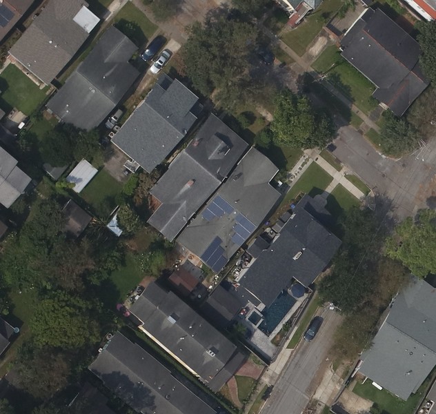
After Ida, FEMA gave Civilian Air Patrol the Disaster Response Mission that NGS has sometimes, like after Harvey.
NOAA has many more mapping resources than Civilian Air Patrol, whose web interface is difficult to use.
https://gis.cap.gov/pages/imagery-viewer
Using NOAA's ERMA interface, the photos are easier to find.
I made this spreadsheet to help me find CAP photos by request. It's really just a simple CONCATENATE script to generate a stable hyperlink on the NOAA ERMA website, so I don't have to wait for the Civilian Air Patrol website to load, only to have it download 20 imagines of 10MB photos onto my little laptop when it does work.
I have been sharing the CAP Viewer website, only to have people tell me that it doesn't work.
Addresses can be fudged, each photo has 6 city blocks. Right now, a human has to geocode the addresses into a lat and long (decimal degrees). NOAA makes its ERMA site with stable lat longs in the URL, like Google does, so you can use the Decimal Degrees to make a new URL. I like Zoom level 16, how about you?
Quick links for finding Ida CAP Photography
|
| | |Example results:


0 Comments
Login to comment.