The Cartosco.pe Project is an amazing resource for creating citizen science imagery ID projects after a disaster.
Now, they have created a simple tool to help spreadsheet GIS users to answer the question--
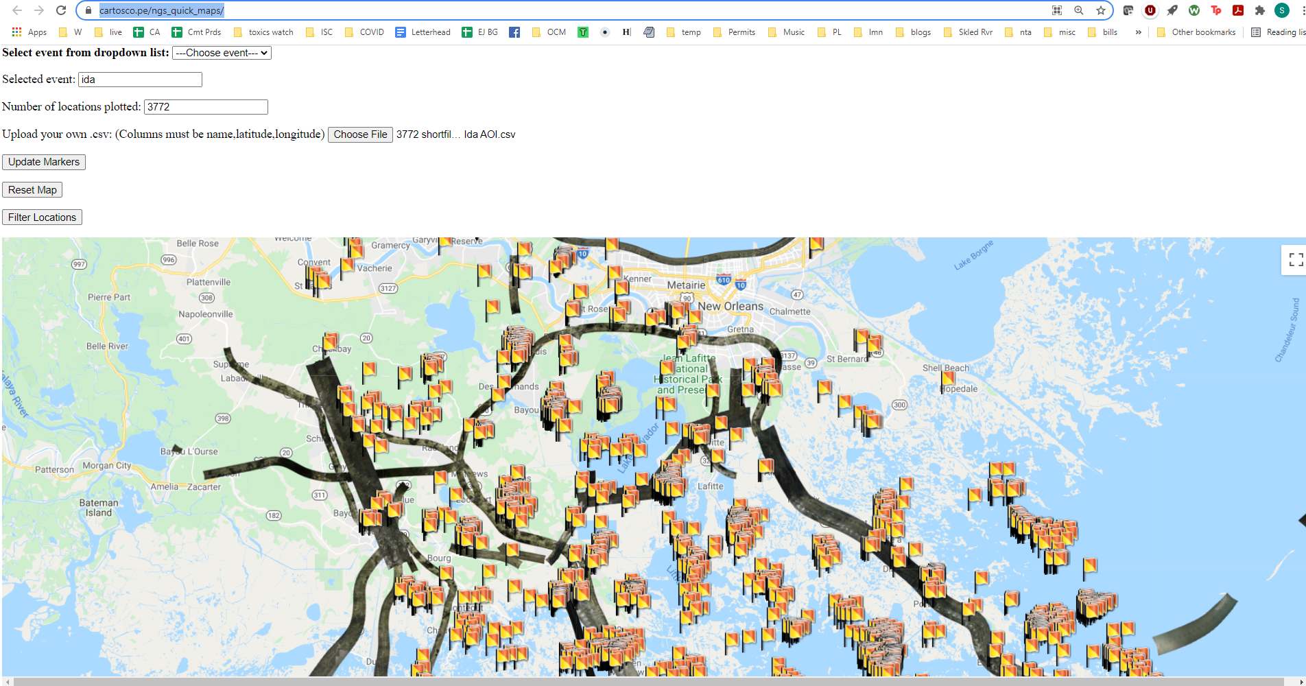
Did the National Geodetic Survey fly over my points of interest in this Storm (Inside the United States)?
Check out NGS Quick Maps!
https://cartosco.pe/ngs_quick_maps/
First, Pick a recent storm that has storm imagery on
Next, upload a .csv of your Points of Interest. Maybe there's just one.
Upload your own .csv: (Columns must be name,latitude,longitude in decimal degrees)
Third, click "Update Markers" to draw your points on the photos.
Lastly, you can determine how many of your points have a photo! Click "Filter Locations" and Cartosco.pe will generate a new .csv for you! Handy!
0 Comments
Login to comment.