What
We want to map the St Charles Parish West LaBranche Shoreline Protection Project
This will provide an educational resource, as well as help evaluate the success of the project.
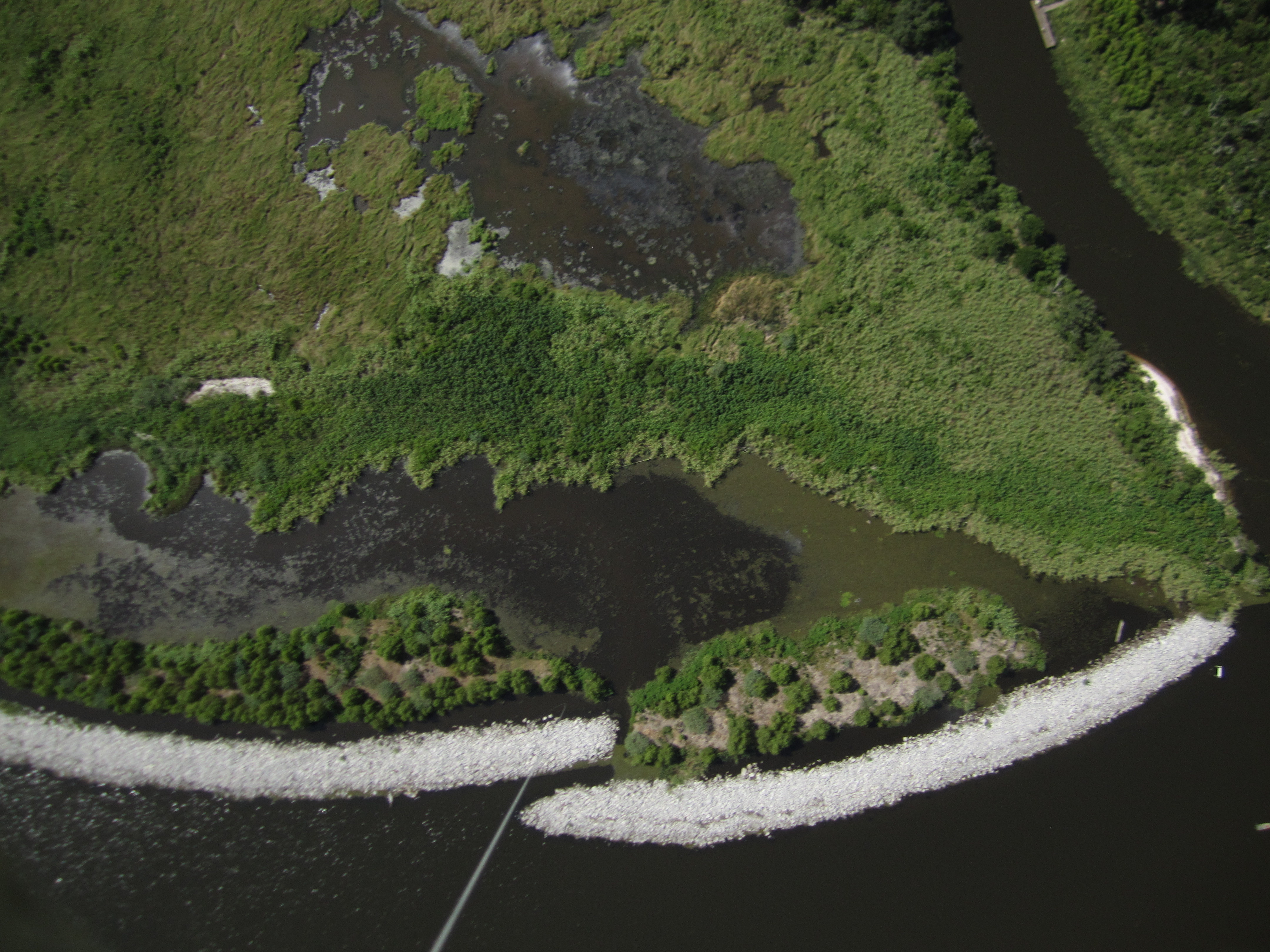
Rock breakwaters are used across the Louisiana coast to prevent horizontal erosion. There is a need to dredge access channels to place the heavy rocks (unless the rocks are light-loaded, which increases construction costs). Rocks also sink, which decreases the effectiveness of hte engineered breakwater over time, necessitating "lifts" (putting more rock on top of sinking rock).
However, the need to stop erosion is urgent, and agencies are used to this technique. The shoreline of Lake Pontchartrain is eroding at 5-10 ft a year in this location, and this breakwater and created wetland would slow that loss of land, while building new land.
My attempt and results
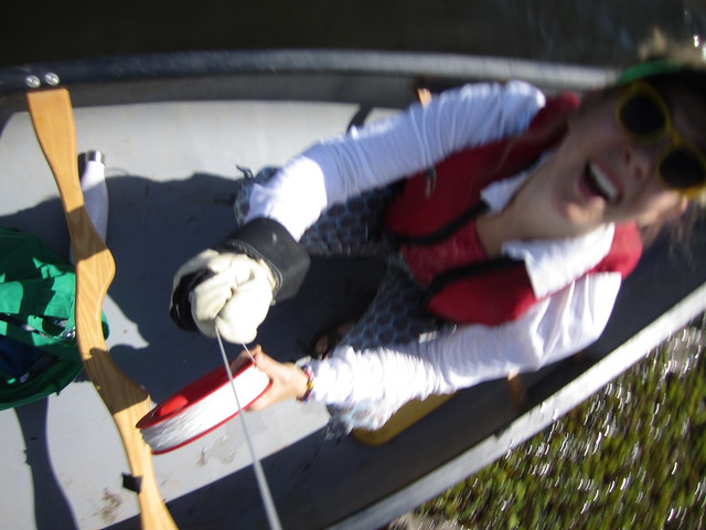
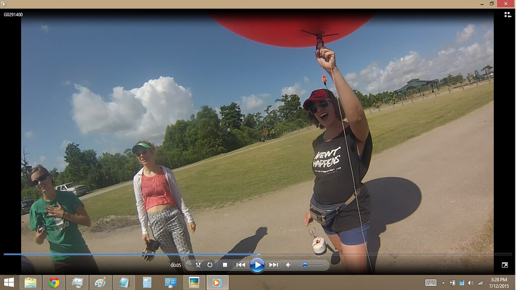
Grace, Miriam, Diana, Stevie, and Scott arrived on site for 0930
Weather was near perfect for mapping. Low wind, low tide, low waves, bright light. There were so many people out, four groups of whom thanked us for our work. Nice.
We have had several failures at this site, including loss of kite and 2 cameras, dunking of a camera, and one day when we just couldn't boat over the center of the site, so filmed the park instead. This time, we got the restoration on RGB (Canon 1400is in a foam faucet cover enclosure), an infragram of the restoration, and an RGB of the park and spillway site.
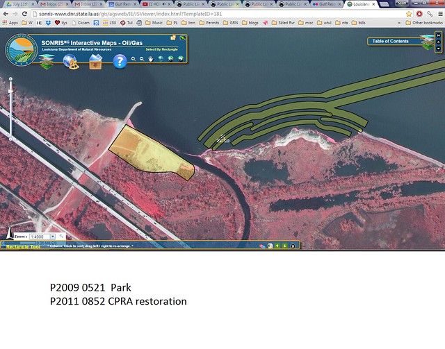
Dec 2014 Park capture (no restoration project)

incl Map of Spillway to compare with 2012 "laplace" map
Infragram Map
Questions and next steps
Why I'm interested
This was the first site that I mapped in 2012. this is also useful for Dinah and Barry for Educational purposes, to show the grade schoolers the success of the project.
The baseline data will help evaluate the effectiveness of using heavy rocks as breakwaters.
5 Comments
Giant Salvinia
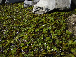
need to document this via inaturalist for email to managers
Reply to this comment...
Log in to comment
Congrats on results. Awesome! Was there wind enough to fly kites too?
Is this a question? Click here to post it to the Questions page.
Reply to this comment...
Log in to comment
no wind. MSY had 5mph, i don't think we had that--which is unusual for the lake --normally we have turbulent winds at the land / water interface
Reply to this comment...
Log in to comment
Reply to this comment...
Log in to comment
Reply to this comment...
Log in to comment
Login to comment.