tide and weather info
this survey was done with a peak in the tide around 1pm.
What I want to do
this is the sixth outing for the barataria work. Scott, Matt P, Dan B, and Stevie E from PublicLab went out with Capt Dave of Big Dog Charters.
The balloon worked very well, after we had inflated it to 1.8 kg of lift. Normally, we have only inflated the balloon to .8 kg, and have had problems. 1.8kg for .5 kg of payload was magic. also the weather was perfect, all day, with no switch in wind. we repeatedly got the balloon to 283 yards plus in a very rapid amount of time.
Is this weather only in the summertime? why was this time working so much more smoothly than the last times?
We had a tarp to hold the balloon down when on plane in the boat.
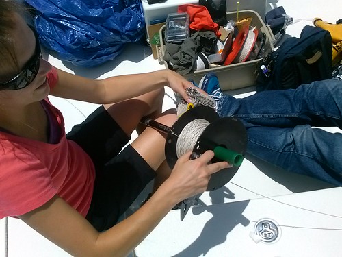
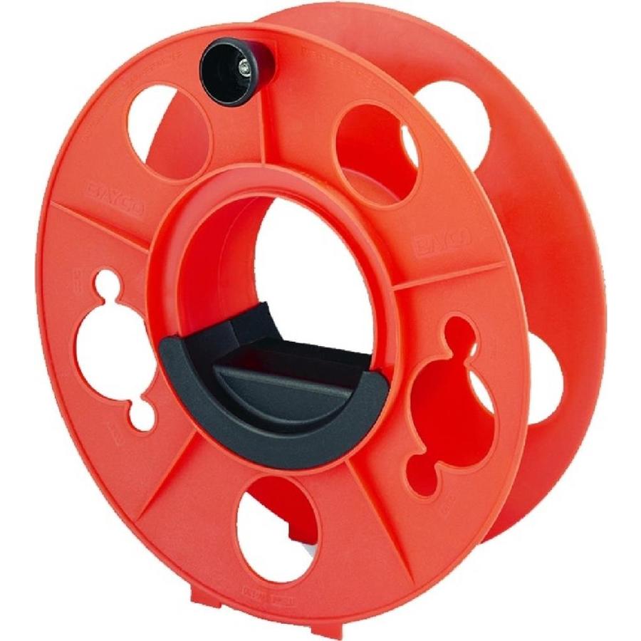
We invented a way to crank the spool with a leatherman. It works best with three people, one to hold tension, one to de-tangle the line and guide the line into the spool, and one to crank on the spool. We should get a line that has mounted onto a electrician's spool.


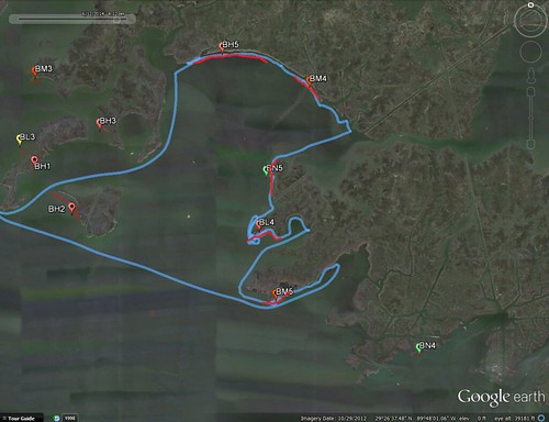
Locations


First session
BH5 [numbers]
Second session
BM4 [numbers]
Third session
BN5
numbers
fourth session
BL4 numbers
Fifth session
BM5
numbers
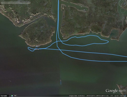
Sixth session
BM1 numbers

3 Comments
Thursday 12 June 2014 [Notes by Matt transcribed by Dan]
Public Lab Barataria Bay Mapping follow up on BP oil spill
Site 1 BH5 NW portion of Bay Batiste
11:45 on board with Capt. David from Fish with Phil dot com are: Scott E., Dan B., Stevie L., Jonathon H., and Matt P.
high tide
Jonathon got out to take a soil sample
balloon lift 1.8 Kg
camera + rig 0.5 Kg
added Amod Photo Logger
A2 SD card, Cannon A1400
12:17 camera taking photos, deployed with balloon
12:20 moving to be directly on site
12:29 on site, or at least the beginning of the transect
12:35 more or less completed transect and started reeling in balloon
12:45 balloon and camera down
camera (on motorized mount) was pointing out or horizontal when brought in
Scott inspected images and declared flight good since camera was pointing down
camera went horizontal at 12:50 [this is confusing]
camera's time was 1 hour off and subsequently Scott set it to the correct time
Site 2 BM4 eastern shore of Bay Batiste
1:05 begin raising balloon
same rig, SD card, and A1400 camera
let out about 500 to 700 feet of line
Site 3 BN5
1:48 A1 SD card, Cannon A800, and same rig
1:52 camera installed an running
1:53 camera up and transect started
2:03 started reeling in
2:12 camera down and off
Site 4 BL4
2:22 approaching site
2:24 camera on and hoisted
2:49 balloon and camera down
Site 5 BM5
2:59 camera on, hoisted, transect started
3:17 balloon down, camera off
Site 6 BM2
("I think" - Scott)
3:39 camera and balloon up
3:50 snowy egrets and flag on E side of Wilkinson Canal
~4:02 camera down and off
Is this a question? Click here to post it to the Questions page.
Reply to this comment...
Log in to comment
Grand Isle water levels
Grand Isle meteorological observations
Is this a question? Click here to post it to the Questions page.
Reply to this comment...
Log in to comment
BM2 in this note = BM1 for real
https://mapknitter.org/maps/bm1-barataria-2014
Reply to this comment...
Log in to comment
Login to comment.