
For some time now I have been using Peter Lynn 3d kites for aerial photography.
There are a number of reasons why I am so keen on this particular kind of kite.
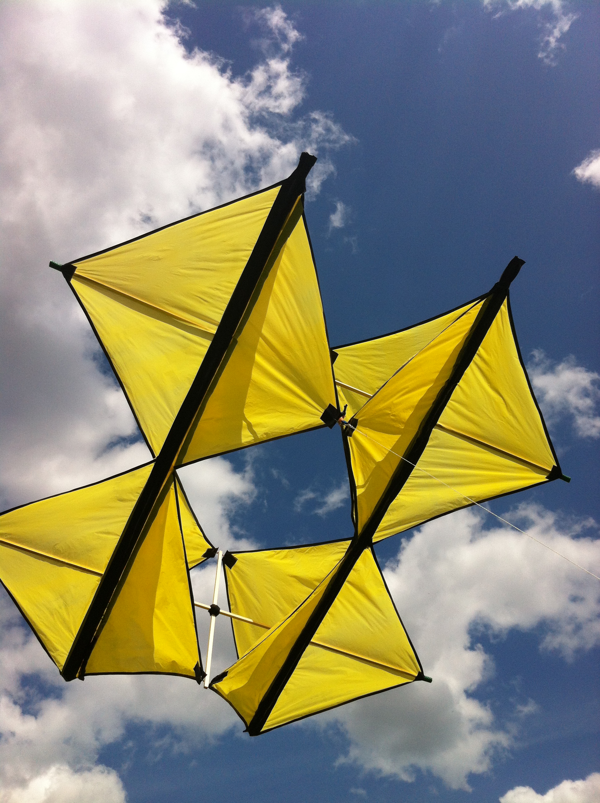
The Peter Lynn 3D is a good and steady flyer with mid to strong winds. As the line is attached directly to the frame there is no angle to adjust for the wind speed. On a box kite like this I usually place the camera within the frame so that it is protected by the structure of the kite in case it crash lands.
I use a bike camera clamp to attach the camera to the frame. As the spars of my kite are much narrower than a bicycle handlebar I pad it with cotton wool and duck tape for a good grip.
We should place the bike clamp on the front spar, a bit higher than the point where we tie the kite to the line. If the camera looks forward we can have panoramic views; placing the camera looking backwards will get perpendicular pictures which can be used on their own or to produce orthomosaics.
I use a kite about 2.20m high which is enough to lift a Canon Powershot S100 with medium winds. With stronger winds we can place a second camera on the rear spar of the kite in the same way as the first one.


3 Comments
Amazing pictures @juanjo! Have you tried mapknitter.org?
Is this a question? Click here to post it to the Questions page.
Reply to this comment...
Log in to comment
Hello @xose I tried mapknitter some time a go. I think is a great software and very easy to use if you want to knit a few photos. In my case most of the times a walk up and down the field taking photos with the kite or sometimes use a drone, so I may finish with about 250 photos of a field. That is the reason why I use Autodesk Recap, or Drone Deploy to create the orthomosaic. In some cases Image Composite editor give me very good results being quicker and totally free. Once I got the orthomosaic I correct and georeference it in Arcgis or in Qgis.
Reply to this comment...
Log in to comment
This is a really cool kite, and your documentation on attaching a camera is also great. Have you been flying lately?
Is this a question? Click here to post it to the Questions page.
Reply to this comment...
Log in to comment
Login to comment.