Map Stitching
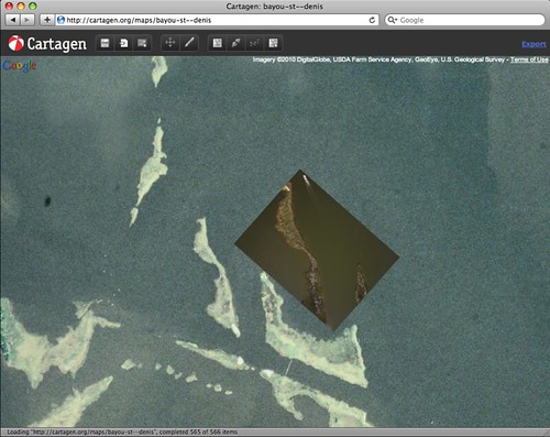
Once you get aerial imagery from a balloon or airplane, you can 'stitch' it into a flat map in a number of ways. This helps to overlay your data on other maps, to correlate information, and can be the first step towards creating NDVI or other image analyses.
Ray Cha and Jeff Warren are currently developing a tutorial to guide first-time map stitchers. You can find the work-in-progress here:
https://docs.google.com/present/edit?id=0AVY4Tg28DhosZGM0OHd6M2RfMTc0ZmpiZDk3Z2c&hl=en
It may eventually become a PDF, video, and/or web page. Contact the mailing list at https://groups.google.com/group/publiclaboratory to get involved.
