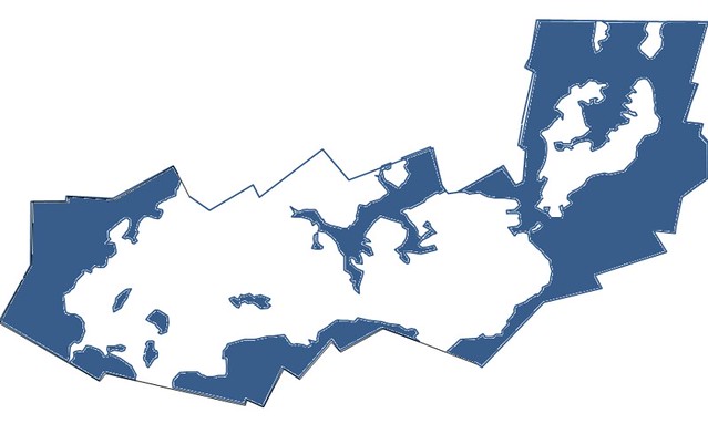
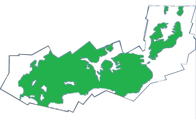
Here is a PNG of a delineation I did by hand, of photos taken in 2011.
I suppose it should be saved as a .gif, or with photoshop, so that the background will be transparent.
An image could be uploaded to mapknitter and overlain.
These are the kind of polygons I would like to have embedded in Mapknitter, should anyone be working on coding for the mapknitter site.
knowing the land / water interface is the first job of wetland delination. it's important to know what the wind and tide were on this site, May 10, 2011.
the government workers at USGS, working on the NWI map (link to NWI online mapper) see land / water as their first priority, before they do the weltand classification.
but measuring the change in this wetland over time requires a series of photos of the same area, as well as these delineations.

 PLOTS delineation barataria land

0 Comments
Login to comment.