What I want to do
document the relative growth of plantings in the BSJ restoration at the lake, and document the continuing migration of the shell bar
My attempt and results
6 ft delta kite, saturday 21st feb 5pm
infragram --> GIMP
in GIMP, distort -34, color channel swtich R and B, from RGB to B=100, G, R=140
to get something that looks like CIR. Chris Fastie does this better than me, but i've lost his facebook message to me.
Here's the wind tables for 5pm. http://www.wunderground.com/personal-weather-station/dashboard?ID=KLANEWOR19#history/s20150221/e20150221/mdaily
Questions and next steps
Make a map in mapknitter and annotate planting areas https://mapknitter.org/maps/bayou-st-john-infragram-feb-2015-recent-plantings

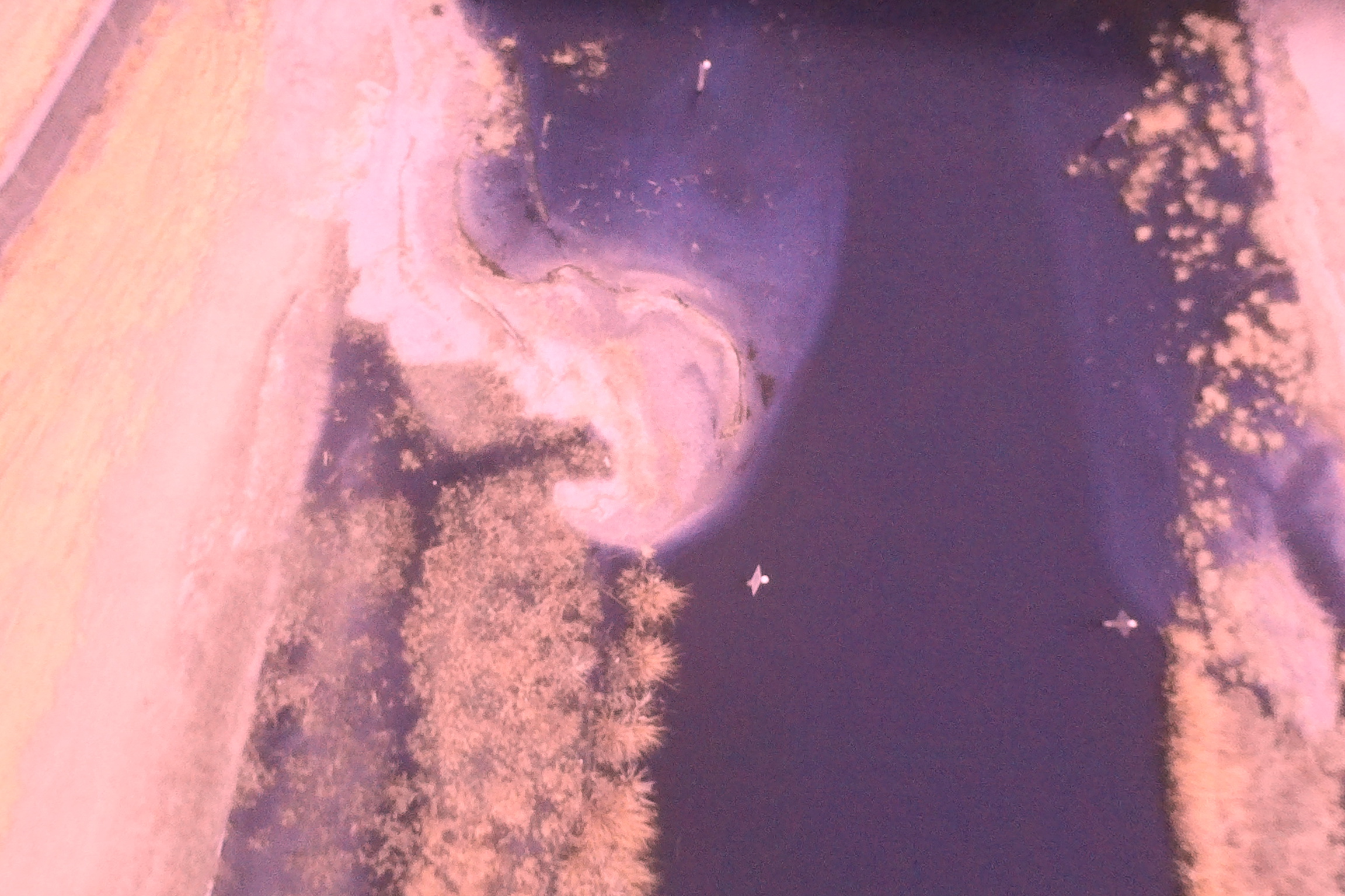
Basically, the teeny dots in the left upper part of the picture have just been planted. compare this to the more bushy plugs planted last year, accross the channel.
Both areas that are exposed to wave action (north of shell bar) are lower in elevation than created marsh. they are also not growing as fast, although they are still growing. Diversity is probably lower.

0 Comments
Login to comment.