Local to Global: MapKnitter Club to a Cartography Collective
This an excerpt from Public Lab's publication about mapping Barataria Bay, DIY Aerial Photography of Barataria Bay: A Community Atlas.
by Shannon Dosemagen
During the oil disaster, people wore many hats, volunteering where they could, helping to organize engagement strategies, acting as community reporters by sharing information through town hall meetings, personal blogs, and social media. Many Grassroots Mappers would come in after long days of mapping with thousands of aerial images, mapping tracks, ground images, and field notes needing to be sorted for timely dissemination.

One of the essential systems that was set-up to support the on-the-ground mappers was an extended network of people that volunteered their time and technical skill to take the images and create data rich maps. These maps provided a timely narrative to the progress of the oil disaster, as seen by mappers. From marathon image stitching sessions at a home office in California to the creation of a situation room involving New York City university students; mappers contributed where they could, helping turn raw data into a map with rich storytelling potential available in the Public Lab Archive.
Organizers and community educators find themselves, in many instances, at the mercy of others for information, resources, technology, and answers. During the oil disaster, the initial coming together of the Grassroots Mappers demonstrated that a group of people with diverse backgrounds, working towards a common goal, can break that model. In the case of the oil disaster mapping project, participation in the project wasn’t just about how much data could be collected, but that people collaborating across geographies could increase the capabilities, knowledge base, and storytelling voice, of an entire community.
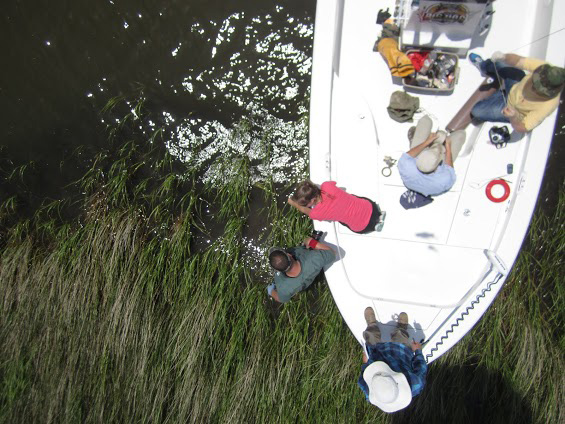
During the 2013-2014 Barataria Bay mapping project, mappers came together in a similar fashion to make decisions about the execution of the work; forming a group that came to be known as the Gulf Coast MapKnitter Club. The group met biweekly for seven months to discuss the sites that needed to be mapped, the logistics of the mapping/boat trips, and the post-processing portion of the work following image acquisition. The idea and value behind this social collaboration was to allow individuals to contribute their unique skills at a time that was most convenient to them. Some members preferred to participate with boat trips over weekends, while others preferred map stitching following the trip.

At the onset of the project, the Gulf Coast MapKnitter Club quickly realized that an organizational tool was needed to manage the workflow of incoming images and post-processing. As a solution, the team created a shared workspace, using Google Drive, and developed a structure of folders and documents to organize images and field notes from each trip. This tool made the work transparent to each team member and easily accessible to anyone who wanted to participate, even if they were across the country. The shared workspace coupled with the regular meetings of the Gulf Coast MapKnitter Club, paved the way for a cooperative map stitching process that ultimately facilitated the creation of twenty maps.
Using the Gulf Coast MapKnitter Club as an example of a technical support network, Public Lab has plans to create a “Cartography Collective.” This would take this idea of mapmaking gatherings and expand it, revisiting the cross-geographical network utilized during the oil disaster. The Cartography Collective would be able to provide time and technical resources to others needing assistance creating visually compelling, community collected, and owned maps.