Mapped by WATR Team
Cartographer: WATR Team
Published by gonzoearth
35.372364289205954 N, -83.24479568886738 E
279 views
Ground resolution: 17.0 cm/px
Capture date: 2013-02-09T00:00:00
Publication date: 2013-03-22T00:00:00
License: Public Domain
Mapped by WATR Team
Cartographer: WATR Team
Published by gonzoearth
35.372364289205954 N, -83.24479568886738 E
184 views
Ground resolution: 17.0 cm/px
Capture date: 2013-02-09T00:00:00
Publication date: 2013-03-22T00:00:00
License: Public Domain
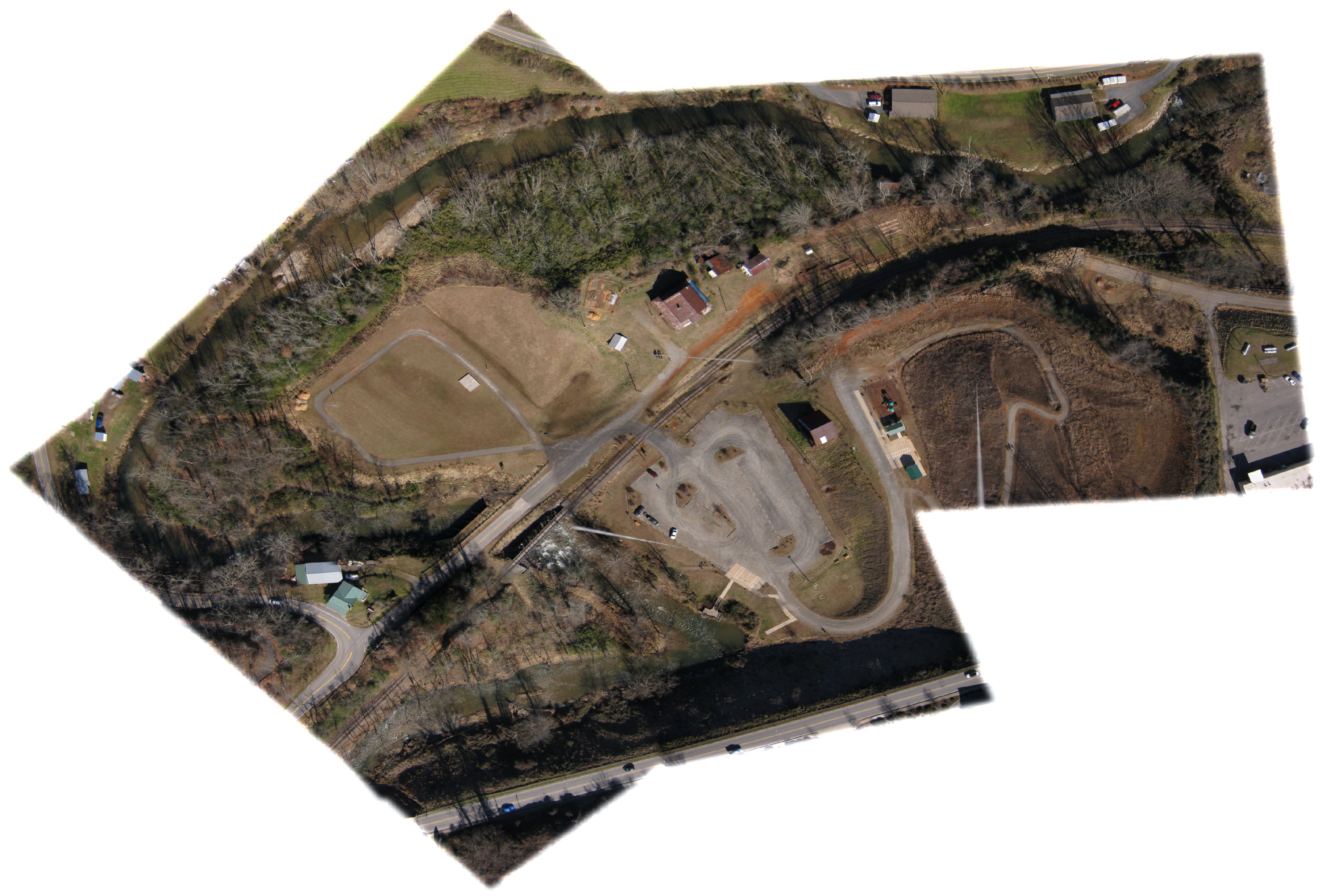
Monteith Farmstead Park in Dillsboro, North Carolina, is the home of the WATR Discovery Trails. Trails that describe why mountain streams need natural vegetation along their banks in order to have healthy stream ecology.
0 Comments
Login to comment.