What I want to do
Capture location information in a defensible way, using basic mobius camera configuration.
The basic idea is to approximate geotagging using the gear we have.
I propose a method where, once the camera is installed in place, a GPS unit with LCD readout is held up to the camera so that the camera captures the information of location and satellite time. Then the camera runs its course from the same site.
Additionally, a volunteer or multiple volunteers appear in front of the camera, and sign a statement testifying as to its location.
As an additional step, the camera could be set to shoot every 2 seconds, and record time lapse as the team drives it from a known landmark to the site, essentially providing a visual chain of custody. Example, if I were going to put this thing on the Columbia River, I might start a shot at a historical marker or lookout, then essentially film the entire drive out to the site, right up to the moment the camera is mounted in its real place. Then I could reset the camera setting to shoot at the longer interval, and start its real shot. But the first frame of the time lapse would be identical to the last frame of the drive-out shot.
I think these low-tech, low-cost methods could build a defensible case for position, if someone tried to say, "hey, that's not my mine. That could be anybody's mine..." or whatever they might try to say in a court.
Thoughts? I'd love to hear ideas or have someone poke holes in this methodology below.
5 Comments
I like this; what about also photographing a GPS or taking a picture of an android device which is itself taking a picture of a watch (and gets the GPS stamp) or something like that -- a kind of "sync" like the clapping board to sync audio/video in film? Questions like this may be part of the project I'm going to be working on the next few months on evidence and authentication/chain of custody, so I'd love to share notes as we each progress.
Is this a question? Click here to post it to the Questions page.
Reply to this comment...
Log in to comment
Yeah, the screen could have GPS coords and the start time. the photos are taken at increments, so you can determine time from which image in the series, if they are being taken regularly. Start time + (image number * interval) will give you accurate time of the image. I would recommend having that data on head and tail of the series.
I think those are all the tools needed, and just bouncing proposed methods off a wily attorney would give you a solid MO.
Reply to this comment...
Log in to comment
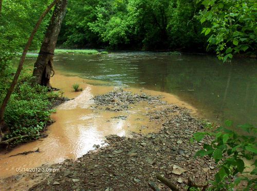
Yeah -- actually I sometimes run the mobius photos with timestamps in-image, like in this one (timestamp lower right) -- they're not much more fake-able than the image metadata timestamp, but moderately so:
Reply to this comment...
Log in to comment
here's a method for getting those photos up on a map via Mapillary, you can add GPS to the images in post-processing: http://blog.mapillary.com/update/2014/06/16/actioncam-workflow.html
Reply to this comment...
Log in to comment
I like the smartphone idea, and I like the multiple people idea. If 5 or 6 people take smartphone photos of the site, the camera installation, landmarks, and each other, and then immediately upload the photos to some social photo-sharing site (Instagram, Flickr, Twitter, whatever), there will be multiple time and GPS stamps with photographic evidence of the camera installation and all the people. That would be very hard to fake, and changing GPS or timestamps after the photos are posted might be impossible, and it would be hard to lose the evidence because erasing stuff on the internet is sort of hard.
Wow Jeff, is that your new house? Heckuva driveway.
Is this a question? Click here to post it to the Questions page.
Reply to this comment...
Log in to comment
Login to comment.