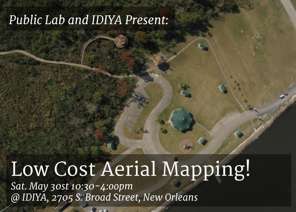
Public Lab will be hosting a DIY aerial mapping field trip and workshop Saturday May 30th from 10:30-4 at IDIYA.
During this event we will be traveling to New Orleans City Park to do low cost aerial mapping of the wetlands planting site. Participants will learn about three different types of low cost aerial mapping using balloons, kites and poles.
After collecting aerial images, we will return to IDIYA and explore Public Lab's open source mapknitter software that can be used to turn our aerial images into maps! Register for this event at myidiya.org or meet us there.
See you then!
Questions? Email stevie@publiclab.org
5 Comments
The iCal is broken here also.
Reply to this comment...
Log in to comment
Hi @danbeavers can you file a github report on this if it's broken. I'm not seeing it.
Reply to this comment...
Log in to comment
I will be attending!
Reply to this comment...
Log in to comment
I will be attending!
Reply to this comment...
Log in to comment
I will be attending!
Reply to this comment...
Log in to comment
Login to comment.