howard and scott 10 min
https://mapknitter.org/embed/bayou-casotte-calm-sunny-day
Flickr album September 20, 2017
https://www.flickr.com/photos/healthygulf/albums/72157689348351125
I wanted to show Howard the balloon. Up and down in a flash. Calm day, short rope, we flew a point and shoot Canon (810) as well as a gopro. We have a bit of the GoPro somewhere.
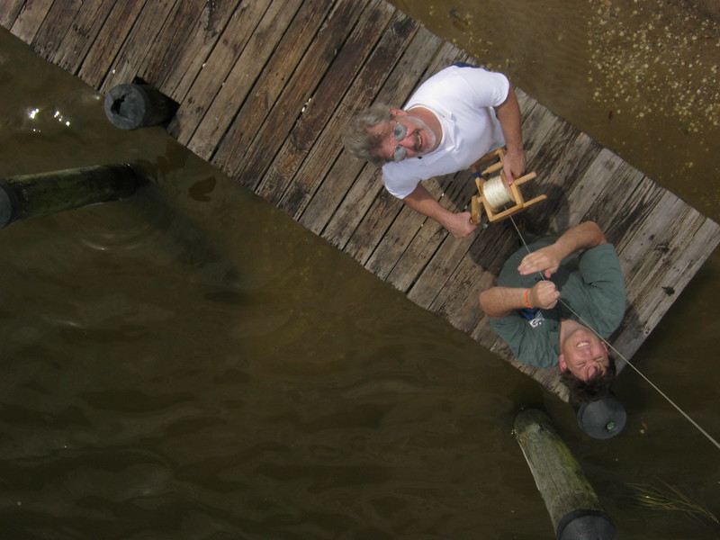
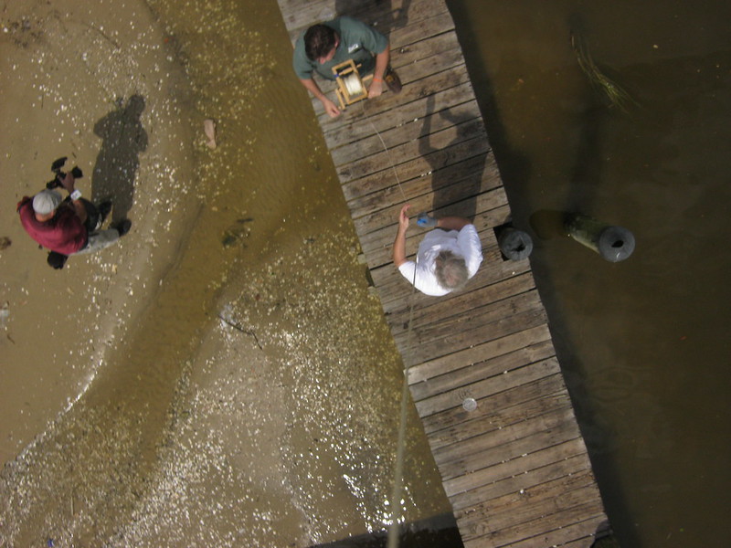
[dock kittens and many fish not shown]
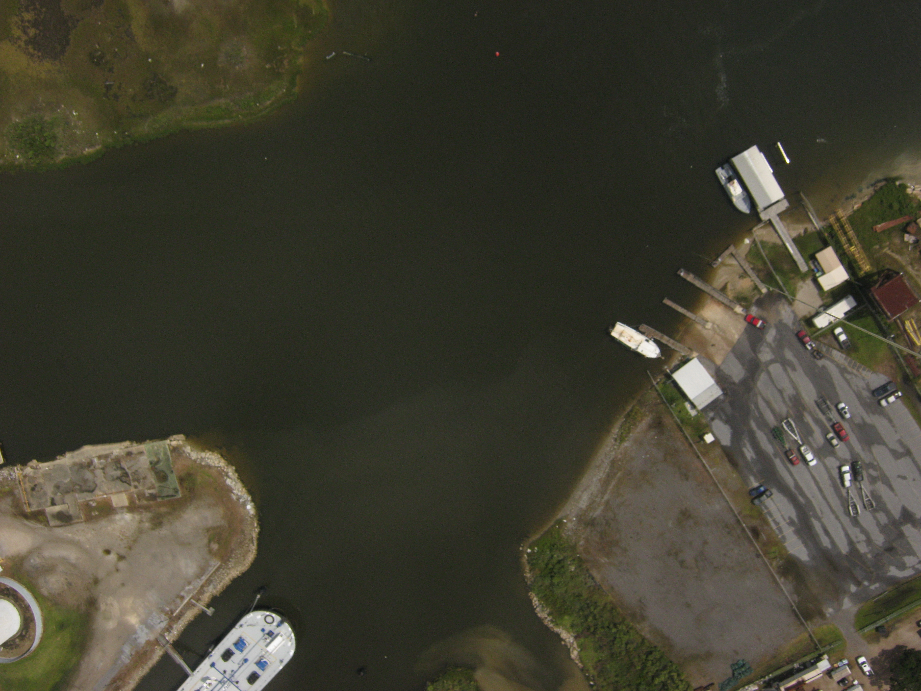
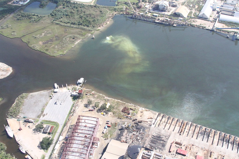
Next Step would be to actually record the plume. it is much closer than I had thought, about 725 ft east of the dock. 1000ft of line could survey the plume. that is kayakable for certain, so school groups may not even need a boat, but a fool in the kayak.
the bait shop nearby may be friendly, might be worth it to organize a friendly boat, but seems unnecessary with a high alt line or simple canoe (kayak might be too exposed to acid waters.)
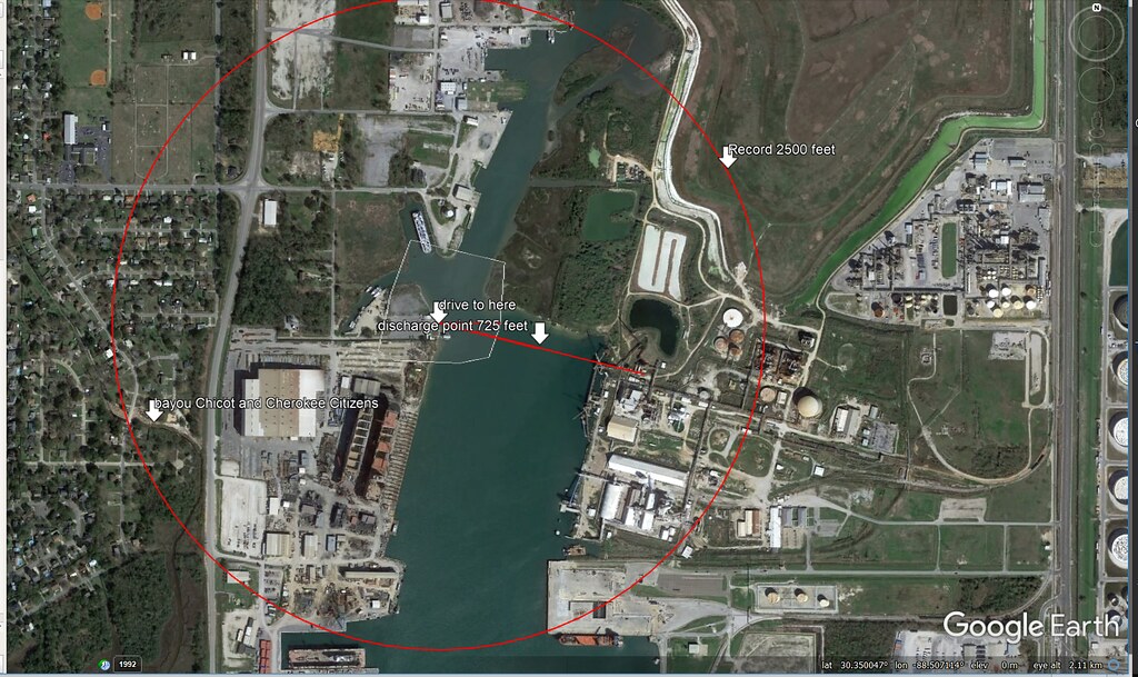
Post Nate MS Phosphate discharge plume, with Tom K Southwings
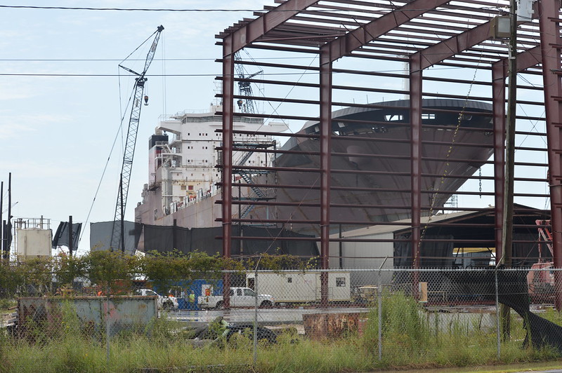
Halter Marine is another offender--see this research note
This is just after a rain! all the dust was suppressed. We caught them on video, see ms Alice's note earlier.
4 Comments
Reply to this comment...
Log in to comment
Here's an XML of the Bayou Casotte NRC Alerts
http://alerts.skytruth.org/rss?l=30.3369,-88.522,30.361,-88.492#rss
Is this a question? Click here to post it to the Questions page.
Reply to this comment...
Log in to comment
http://www.sunherald.com/news/local/counties/jackson-county/article174563101.html
Reply to this comment...
Log in to comment
Hmm I know a canoe rental company that might be able to help out! are other people looking at this locally? What are the Cherokee Concerned Citizens group up to?
Is this a question? Click here to post it to the Questions page.
Reply to this comment...
Log in to comment
Login to comment.