See videos about this ongoing project here,
Flight Test Footage: https://www.youtube.com/watch?v=VgNXx0W9z1U&t=170s
Drone Equipment Overview: https://www.youtube.com/watch?v=ZSGqgYfI6c8&t=567s
Here, I report a brand new filter-based modification of a 4K Camera, The Hasselblad 20MP Camera onboard the DJI Mavic 2 Pro, to develop an ultraviolet (UV) imaging system for remote sensing.
This was achieved via testing and adapting new quartz-based Ultraviolet imaging filters as well as thin film solar-filters in conjunction with commercial cameras modified using "hot-mirror" filter removal.
The Hasselblad cameras used in the Mavic 2 Pro contain one of the best passive imaging,
complementary metal-oxide semiconductor (CMOS) sensor, A 1-inch sensor with 20 megapixels which can be set to image using very high exposure to record in the Near-UV.
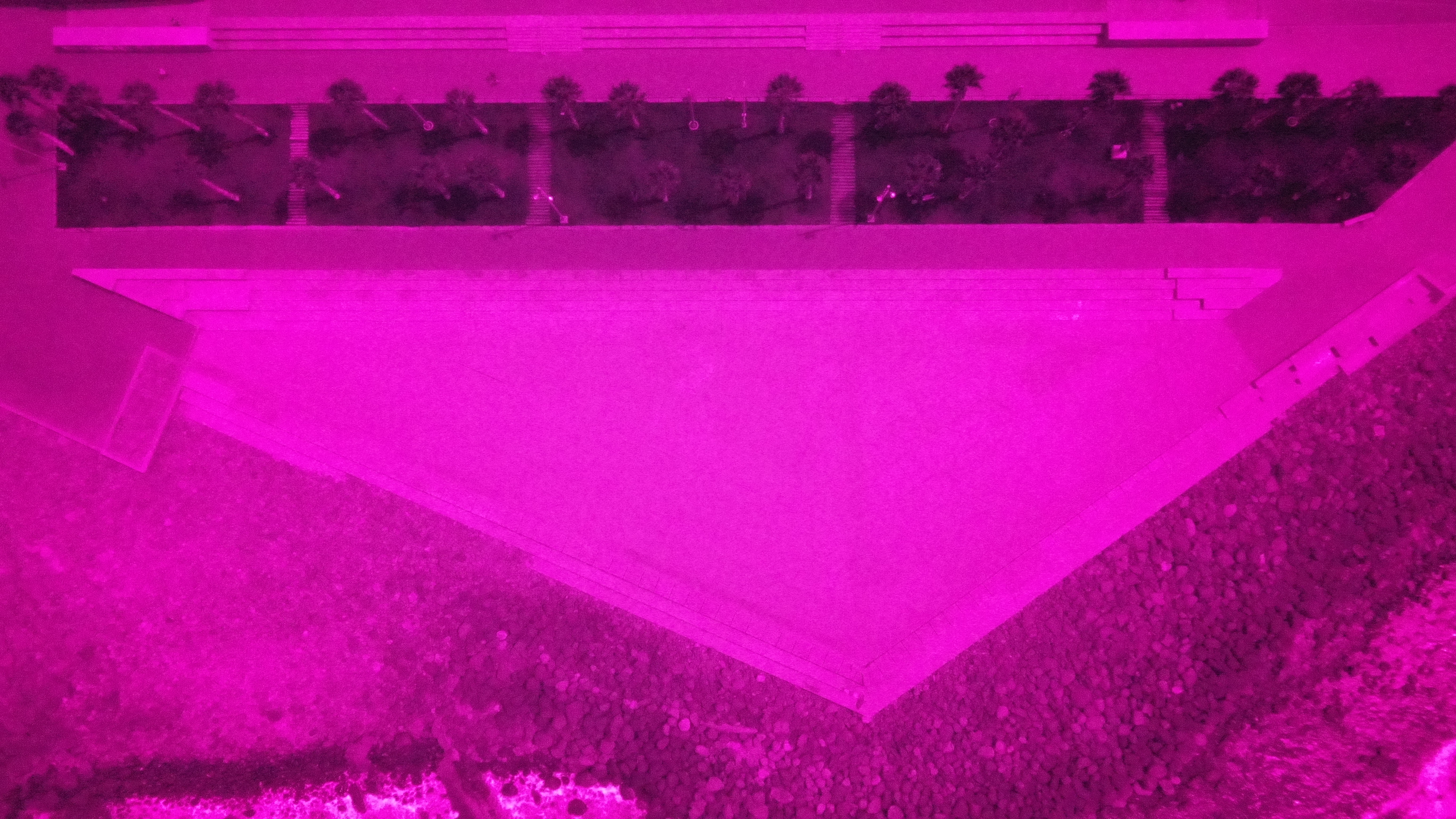
The utility of these devices is demonstrable for applications at wavelengths as low as 310 nm,
in particular for sensing vegetation in this spectral region. For this a novel UV-based remote sensing
classification index has been developed for use in experimental Ultraviolet aerial imaging using
drones.
Given the relatively very low cost of these units as compared with other cameras in this field of imaging, and the fact they are integrated on a superb platform for deployment, a semi-autonomous aerial vehicle, they are suitable for widespread proliferation in the field of environmental monitoring
in a variety of UV imaging applications, e.g., in atmospheric science, vulcanology, oceanography, forensics, monitoring of industry and utility structures (in particular powerlines and smokestacks), fluorescent tracer measurements and general surface measurements.
I am beginning experimental testing of this technology in Gran Canaria over the next few months. I have already begun to construct test image datasets for analysis using a prototype Normalized UV Absorption Index (NUVAI)
With this index I hope to be able to classify vegetation and surface features based on their UV absorption characteristics and compare with the NDVI taken using the same camera with my already extensively tested Infrared Filters.
Using Python coding I have digitally processed some of the test images already and hope to perform similar work as used in my near-infrared (NIR) drone research.
4 Comments
This is a super cool project and I'm looking forward to seeing your updates. For this project, what type of UV filters are you using? Do you have any links to your code on Github you could share?
Is this a question? Click here to post it to the Questions page.
@mimiss thank you. I am using 2 filters, one is a UV band-pass filter that is made of glass that works at about 380nm, so near-UV, the other is a true UV Quartz-window based filter that I was able to obtain using a custom order from a filter company, Kolari Vision in New Jersey USA, for use with my multi-spectral converted DJI Mavic Pro 2 Hasselblad camera.
I will of course share the code on my GitHub page and will add a link to this page in a message form and will let you know shortly. I am also working on some new NIR image and Video segmentation code that I will hopefully make an article about next week.
@mimiss here is the link to the GitHub repository in which I will be sharing all current and future developments of this image processing project using drone-based UV imaging. https://github.com/MuonRay/Ultraviolet_Image_Python_Processing_Codes
With continued support I plan to dedicate more time and effort to refine this technique in the field and focusing on its use for applications, especially for environmental monitoring. I have seen very interesting work in the observation of oil-slicks on water using UV imaging in the past and I want to extend this capability using drones in Gran Canaria's coastlines which are a good testing location. Indeed there are even some case studies of oil exploitation here which are worth a look on how they might be affecting the waters here.
@ektopyrotic - feel free to create a project page around this! More about project page and how to create your own here:https://publiclab.org/wiki/projects We would love to see your in real-time field notes, takeaways, and refinement of the techniques!
Reply to this comment...
Log in to comment
Login to comment.