
Elias, Sarah, Apple, Edel
Introduction
We set out to observe the differences in vegetation and appearance between North and South facing slopes through various methods of observation. The vast difference in vegetation in the different areas is caused by the differences in sunlight hours and allows for two different ecosystems within a very small area. At Thacher, the Grand Entry and Huntington trails transect these two ecosystems, and so we used the balloon to image this area in more detail than would be available through Google Maps.
We already knew that the vegetation changes and that the appearance of these different ecosystems is different, but we chose this opportunity to explore this disparity in greater detail. The imagery provided by Google Maps does not have the detail to allow for plant ID or any through analysis of the photos. In addition, the ground observation of plant ID and the game camera observation allowed for greater opportunity to examine the detail of these differing ecosystems.
Aerial mapping is a good solution to this observation because it allows for greater detail of observation and provided an opportunity to learn and experiment with this form of technology.
Methods
Our first successful flight was on May 11, 2017, at about 8:30 am. We took aerial images of the Huntington Transect as we walked along the Grand Entry trail. Using a Canon PowerShot SD750 (7.1 megapixels) camera in a plastic juice container housing with rubber bands, string, and a carabiner attached to the balloon, we took photos to note the differences between the North and South facing slopes. We also returned to observe and note from the ground the plant species that we found growing along the trail. Lastly, after using a Moultrie M-880 game camera over a 24-hour period, we have used three effective methods of observation to further our understanding of the ecosystems we studied.
Results
Error Analysis
What worked and what didn't?
In our experience with balloon aerial mapping, we learned a lot about the different techniques that were and were not effective. In our first flight, we initially planned to take pictures of the bioswale. We filled the balloon and assembled our camera housing efficiently, though the strings were a different length, which was a concern. We initially planned to do low altitude and high altitude images. Sarah held the balloon, while Edel held the string. They circumambulated the bioswale to get appropriate images, and then put the balloon much higher, at around 300 feet.
However, the camera stopped working mid-flight. The Nikon CoolPix S4300 camera proved to be unsuccessful because it stopped taking continuous photos at a certain point in the flight. Additionally, the focus of the camera is based upon the first picture taken, which lead to somewhat blurry images as it was difficult to position the camera into its housing while taking pictures. The battery was not a problem, as initially imagined, but the camera didn't work well enough to produce the data we needed.
What did we learn?
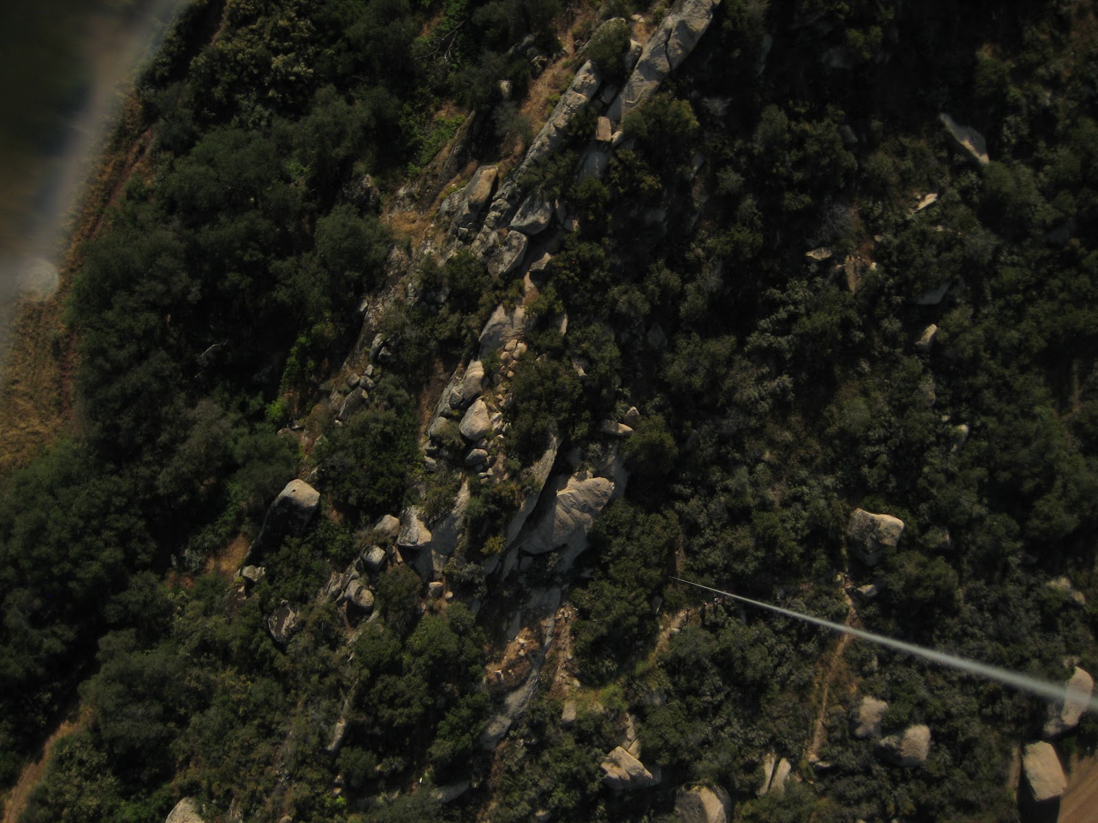
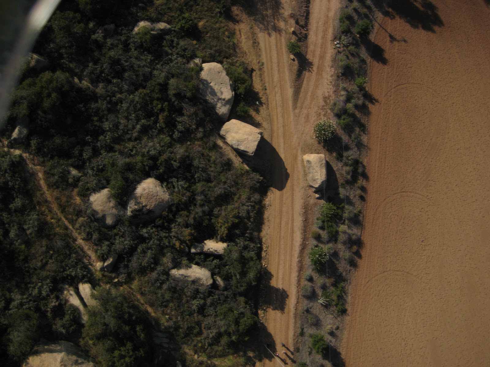
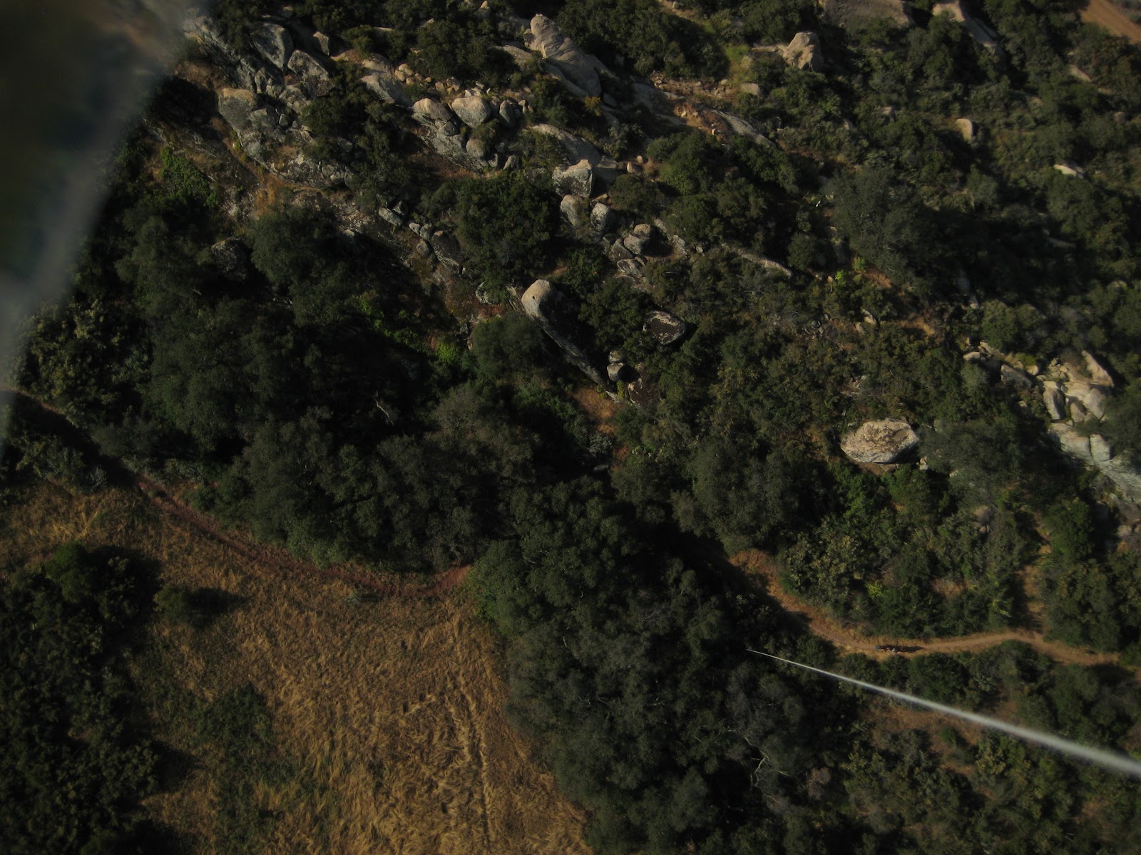
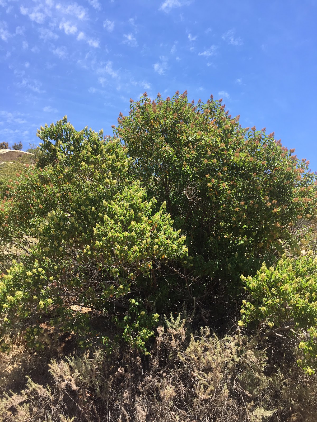
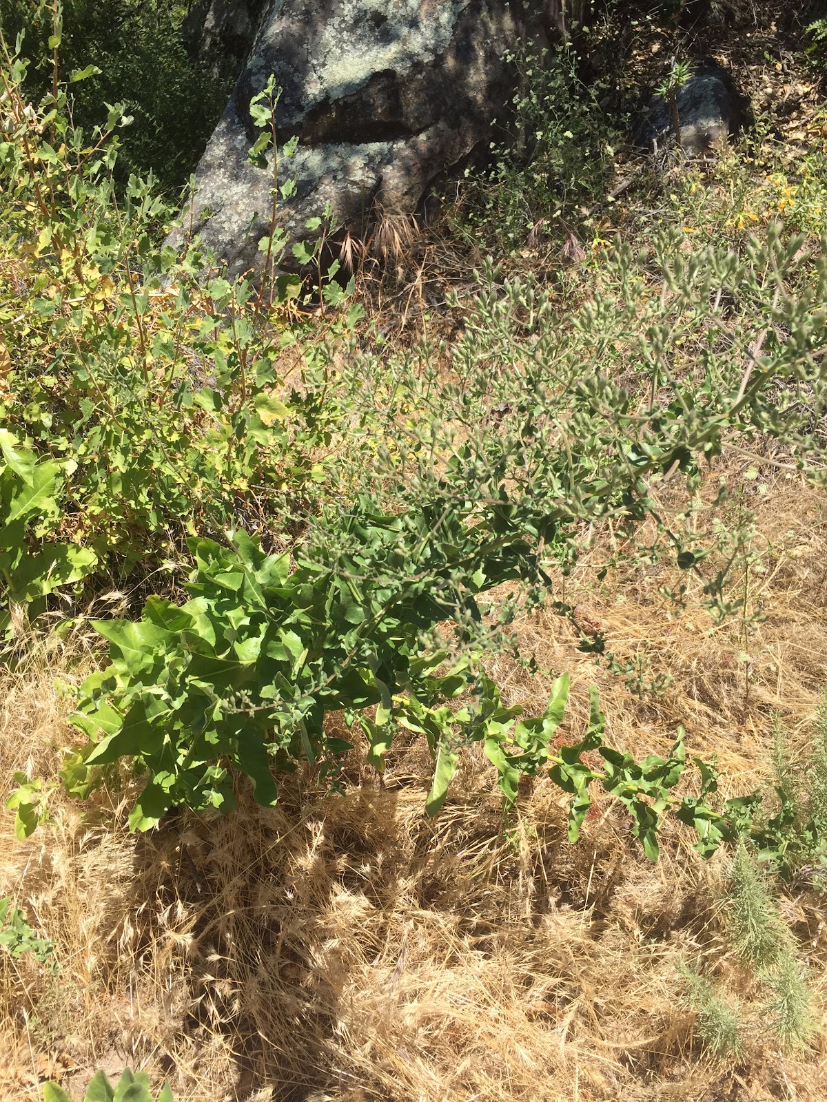
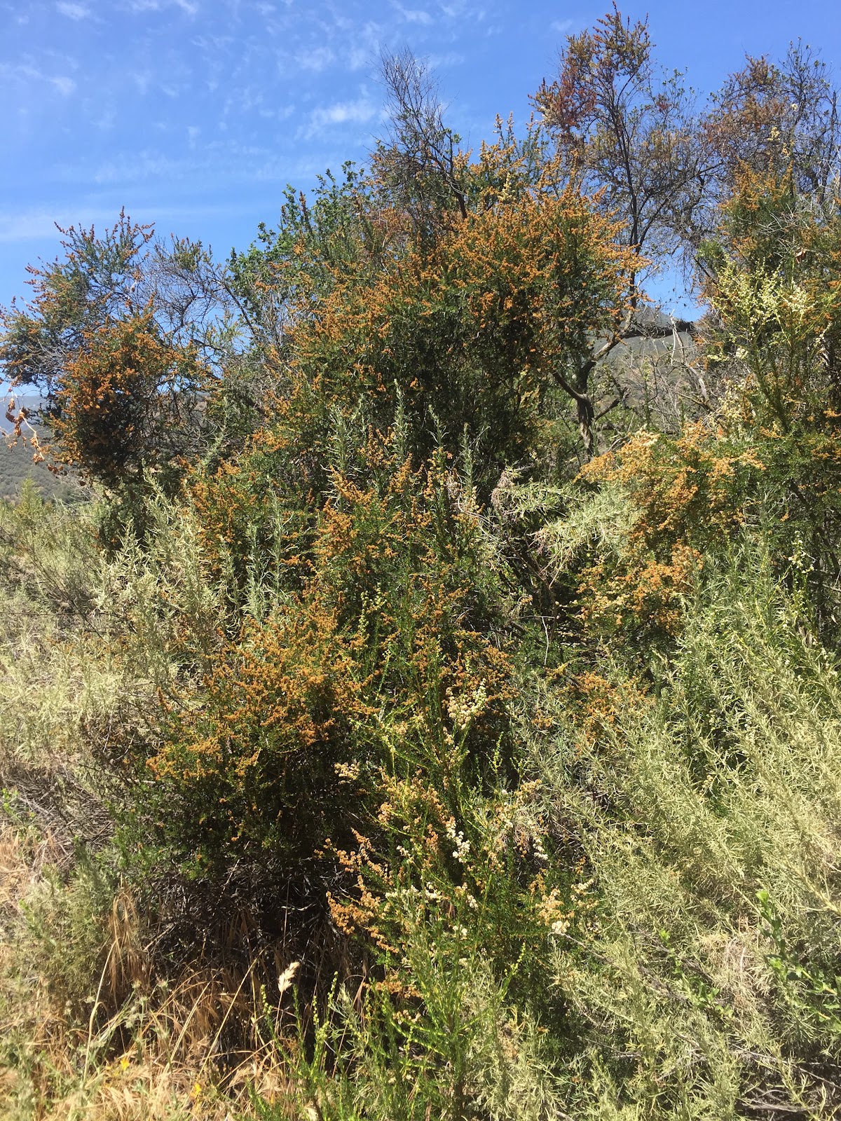
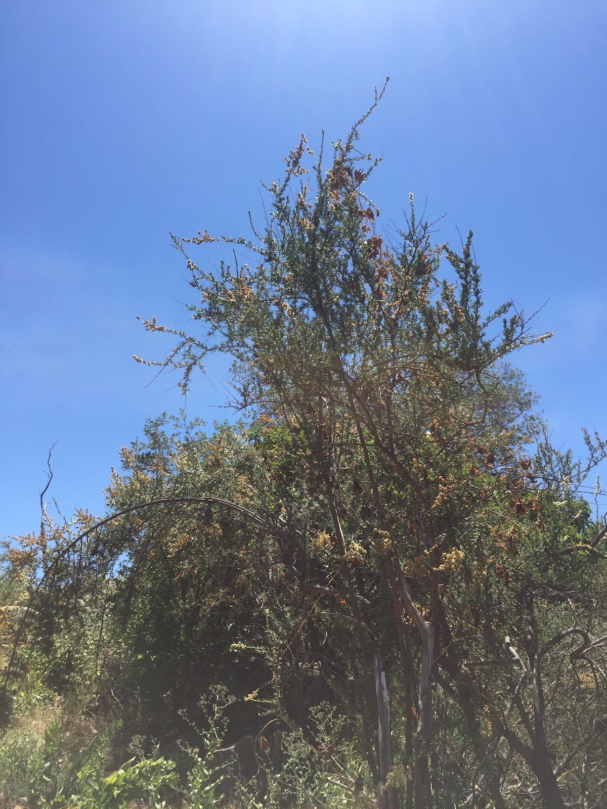
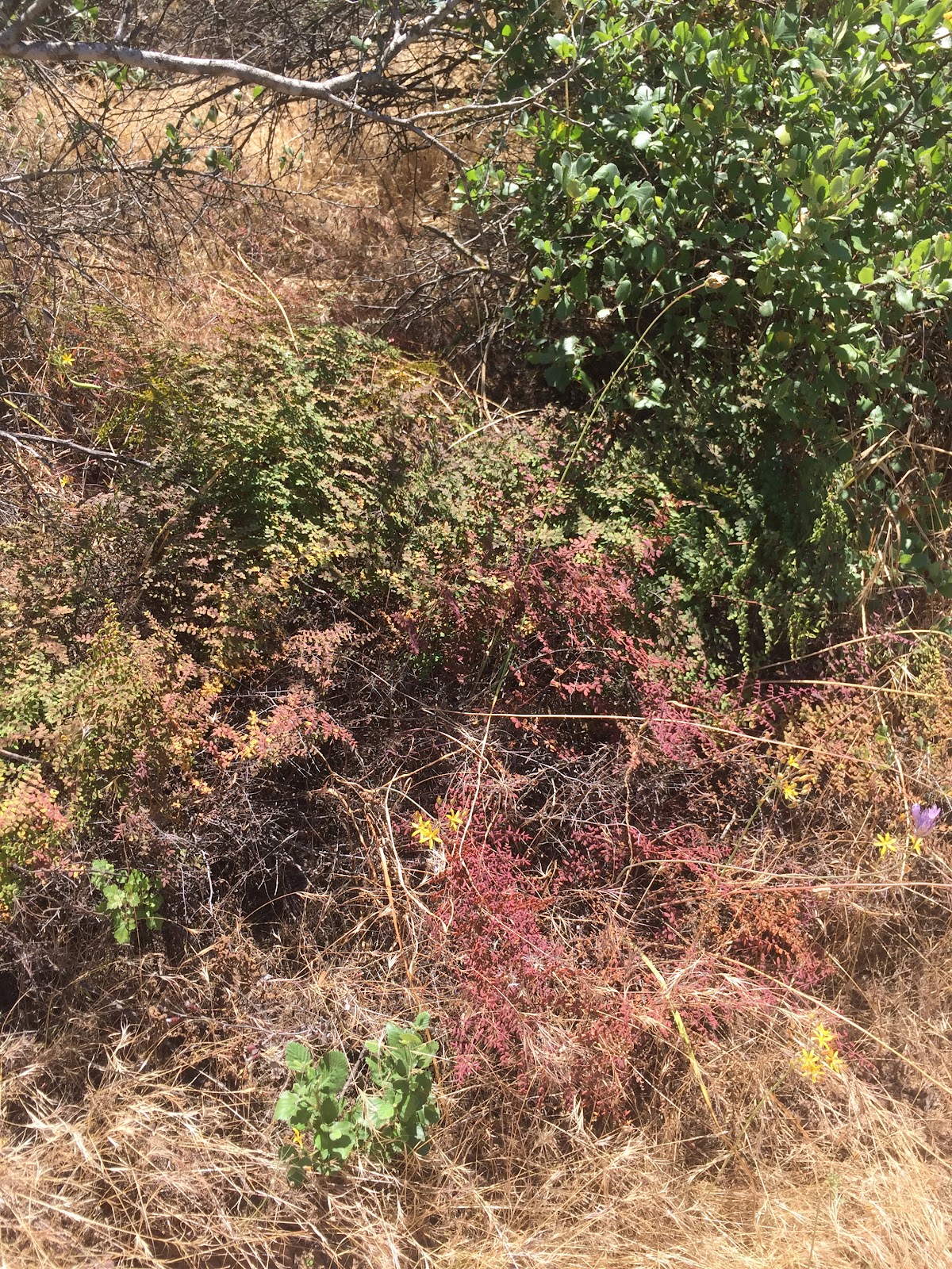
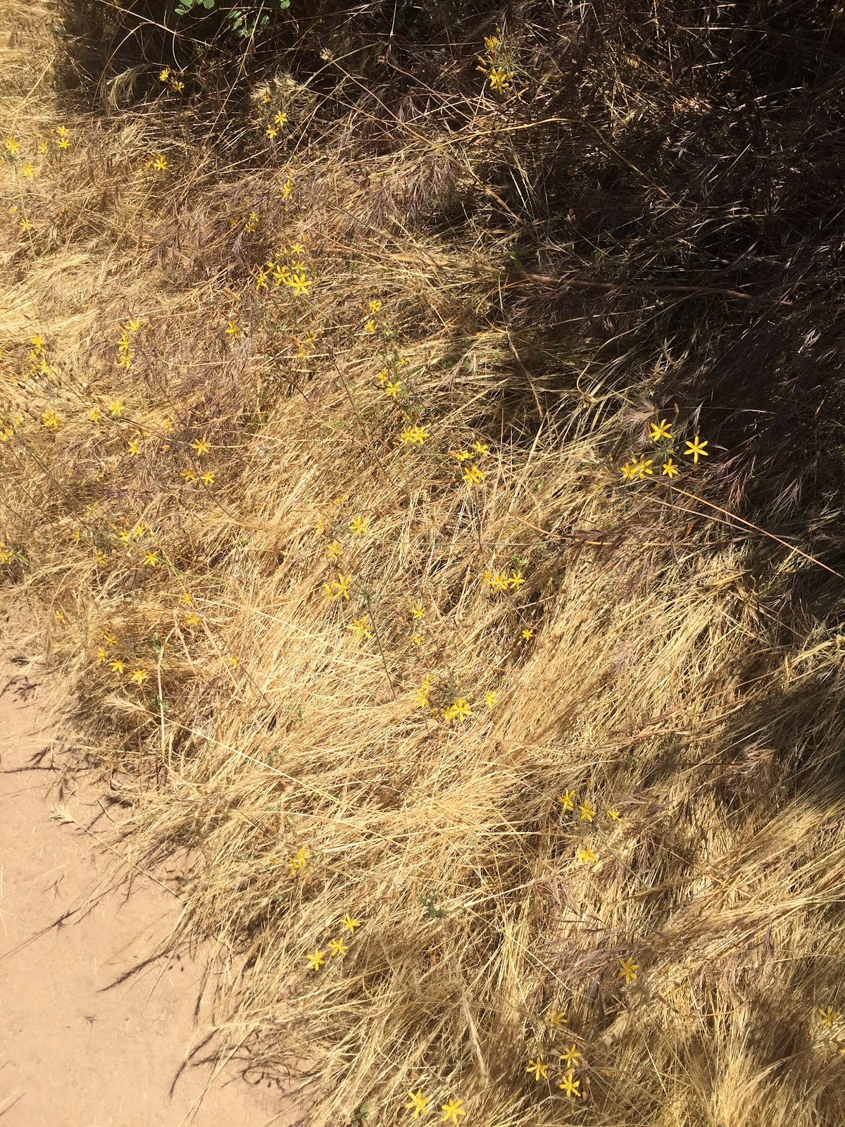
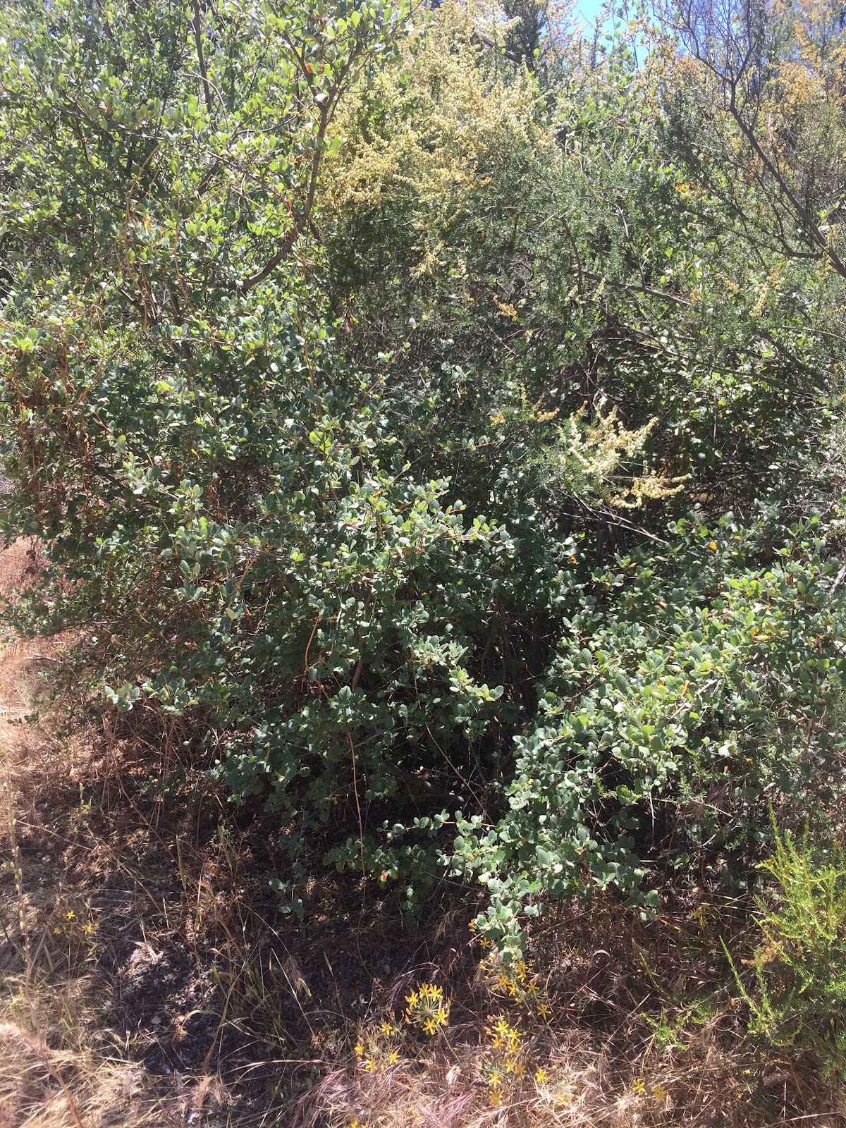
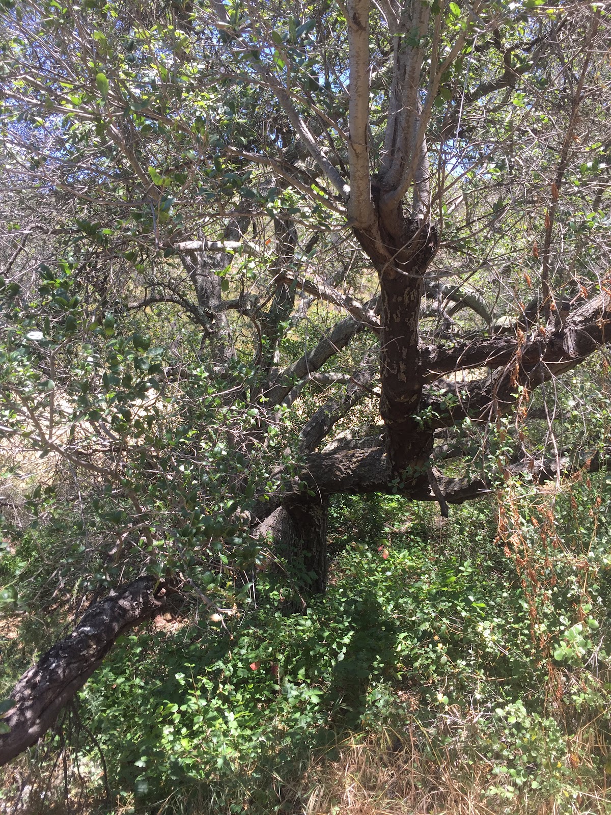
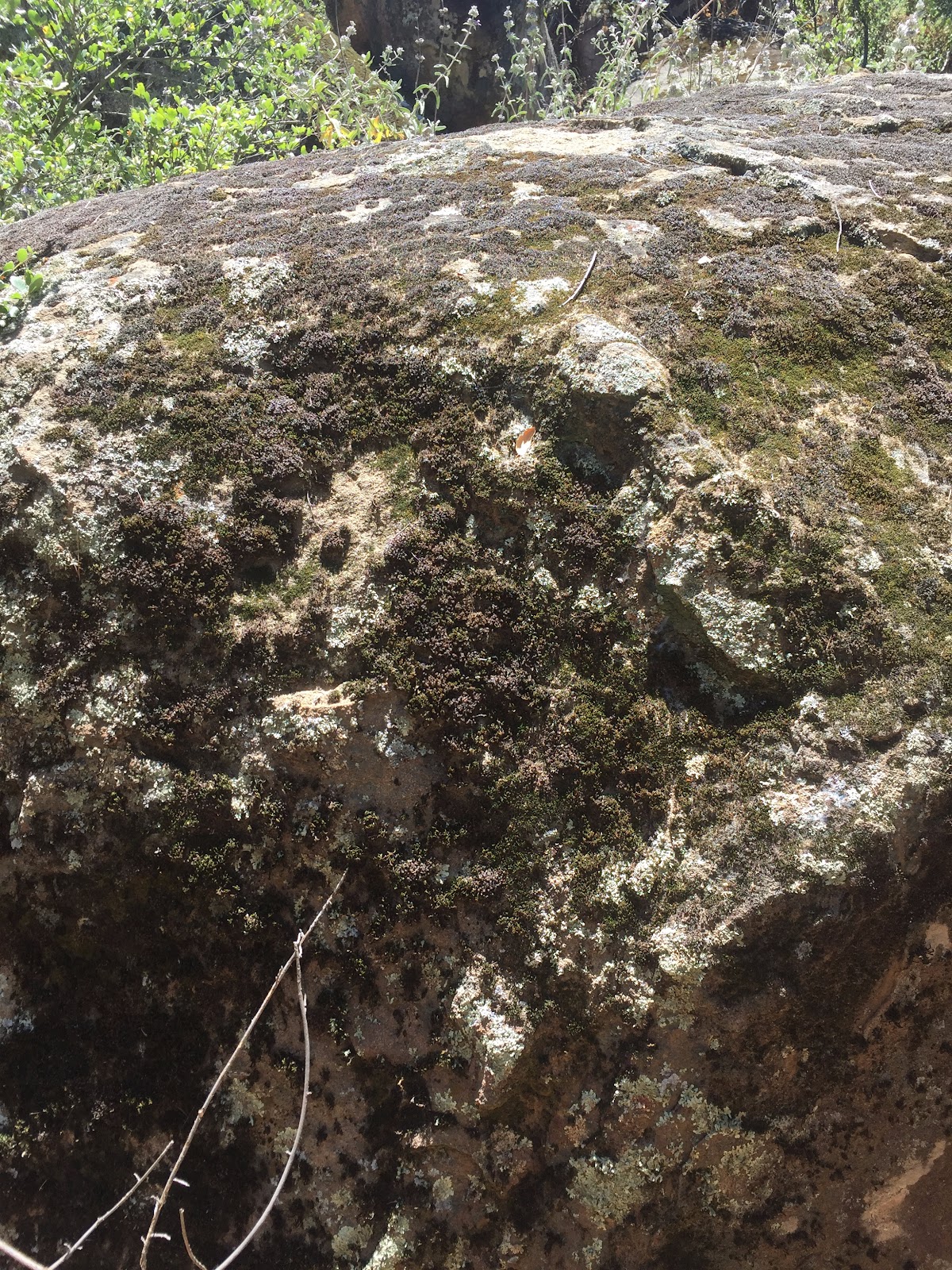
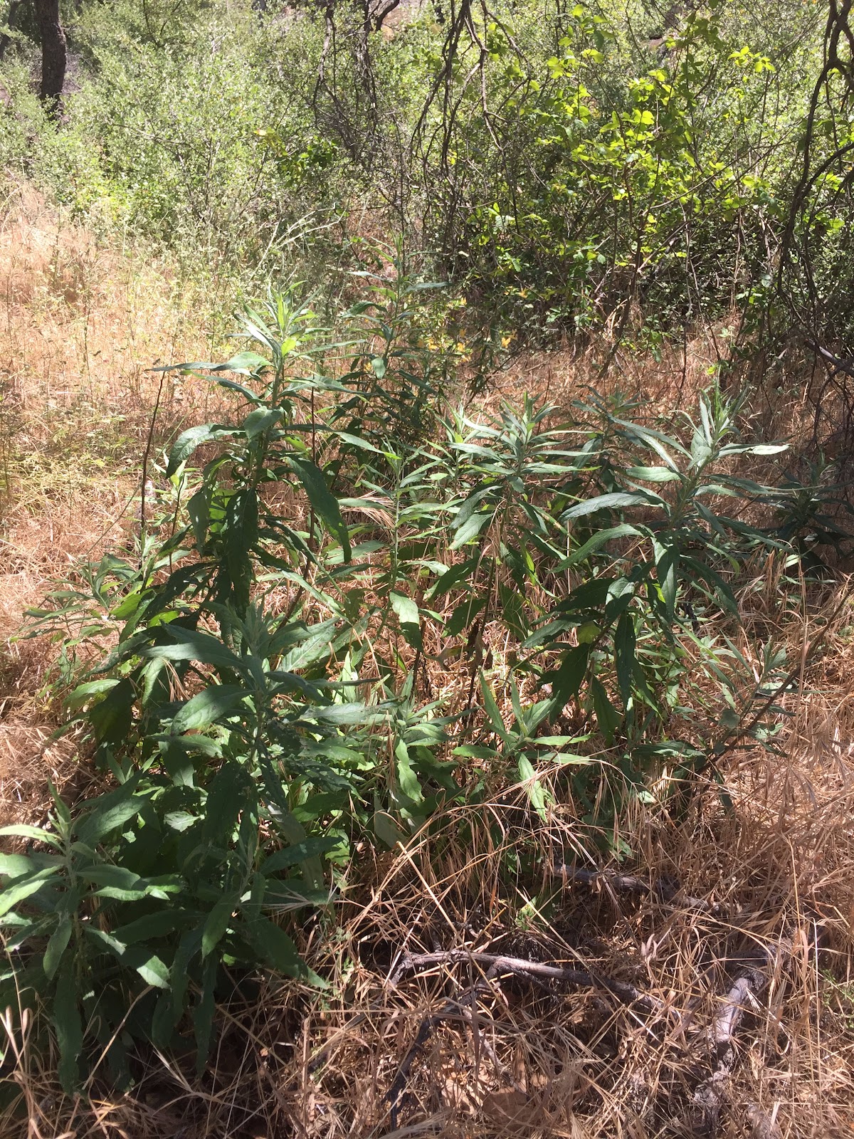
We took away a lot from this project. We learned about what techniques in aerial flight mapping were effective and which ones were not. We also learned how the north and south side of the Huntington Transect can completely transform in regards to plant species depending on which side we are looking at. For example, with north side, there are many coast live oaks and larger species of vegetation that are not found on the south side. The south side consists of smaller shrubs such as California buckwheat along with some Laurel Sumac. The position of the hill can determine how much sunlight hits a specific side which leads to the significant variation in plant and tree species.
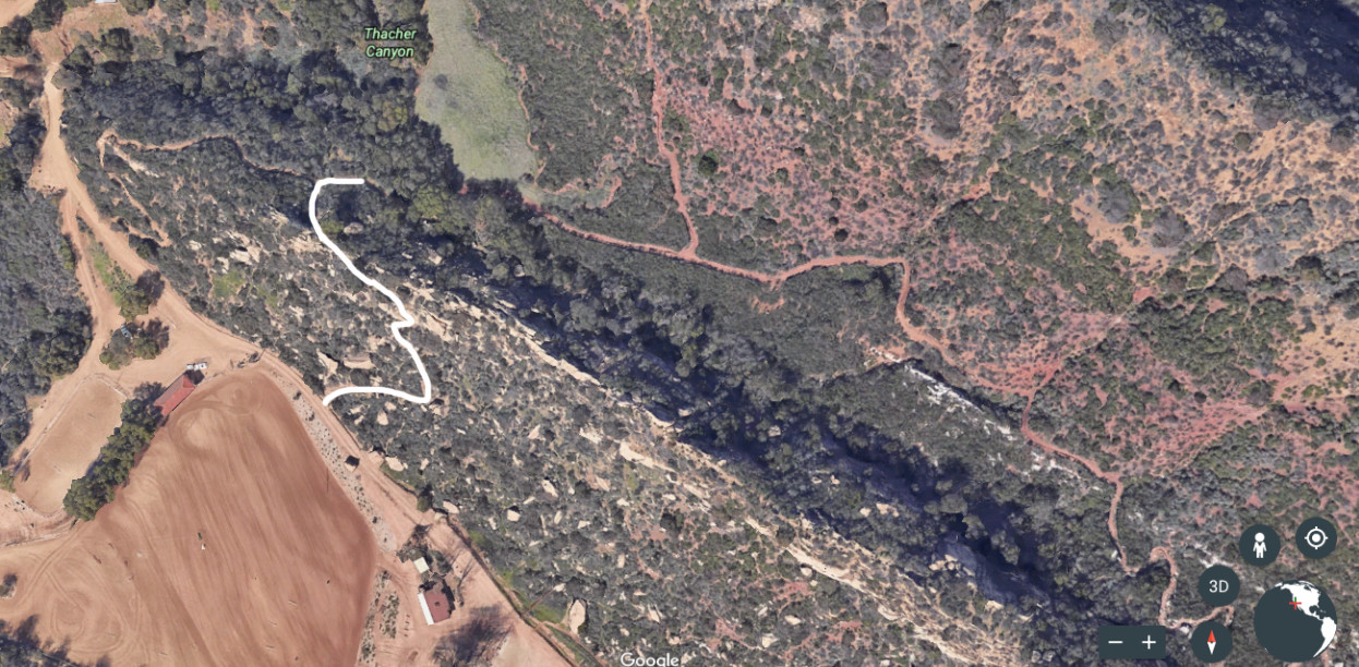
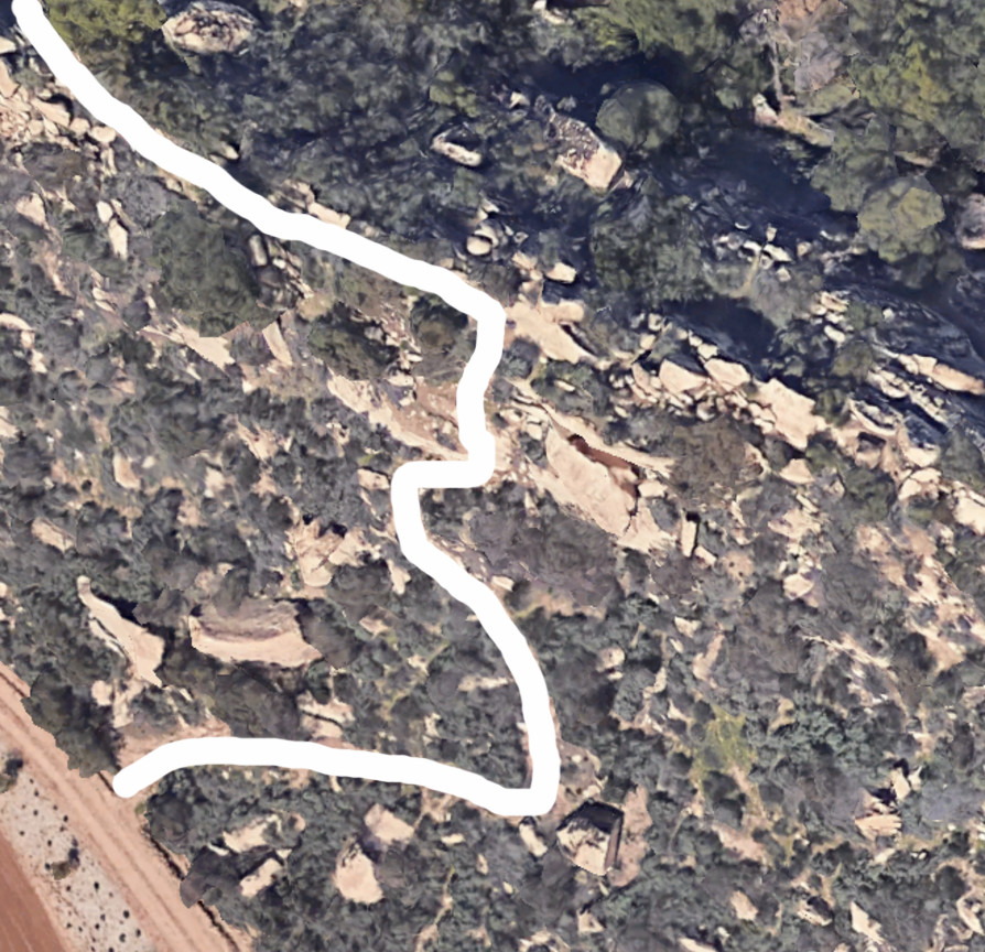
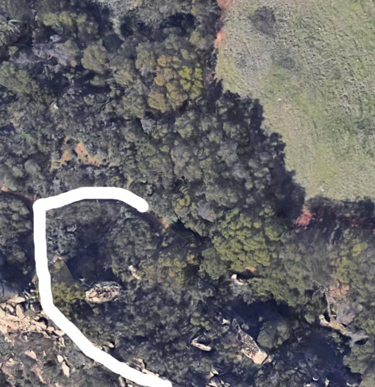
Initial Photos from Google Maps
The white line represents the path we took
Map from MapKnitter
https://mapknitter.org/maps/huntington-section-2-group-1
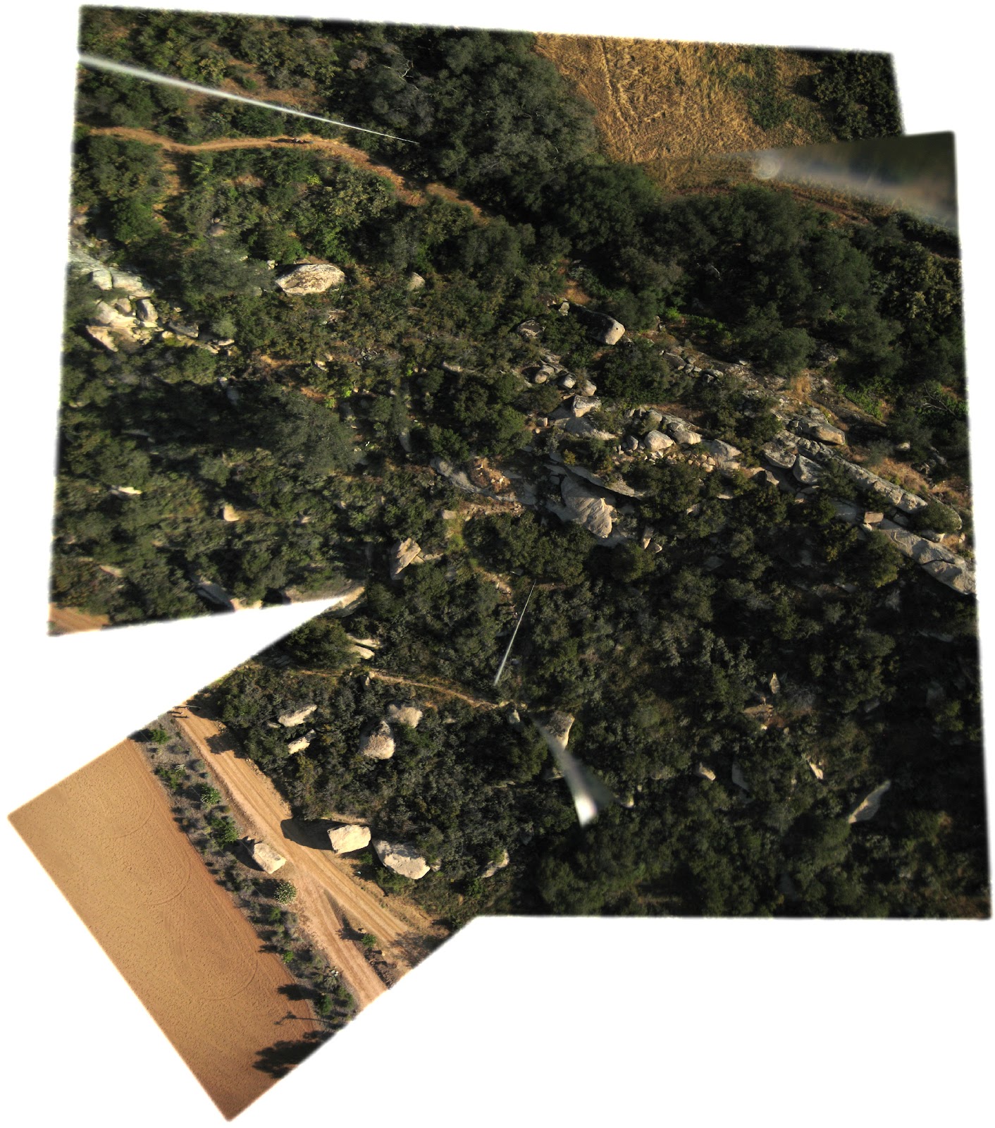
Photo Series from our flight
Photos from game camera observation and analysis
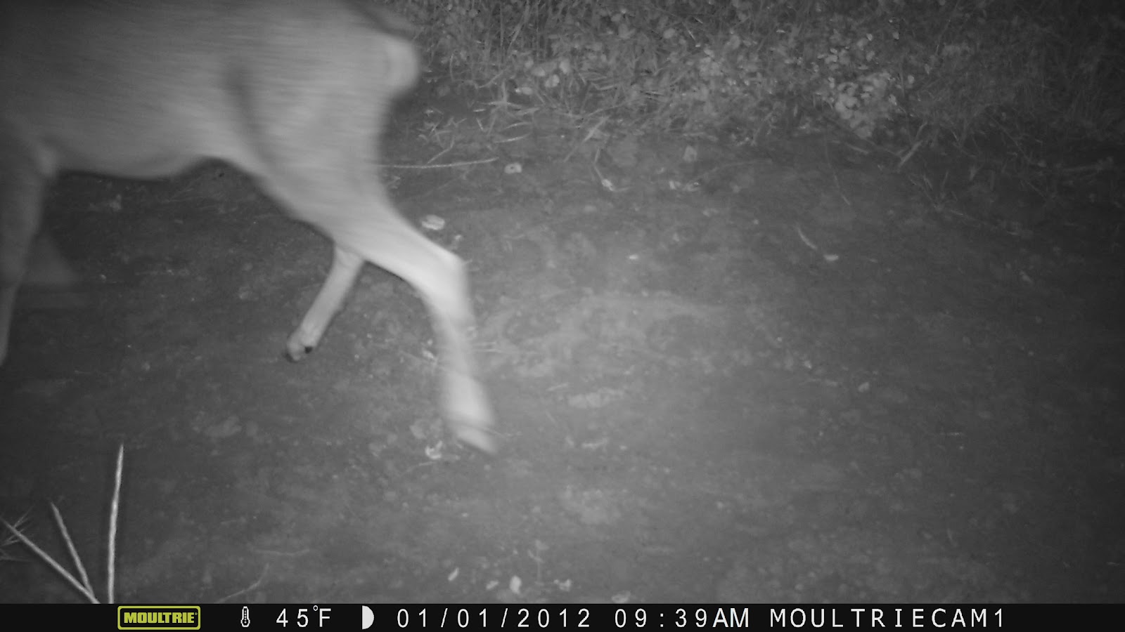
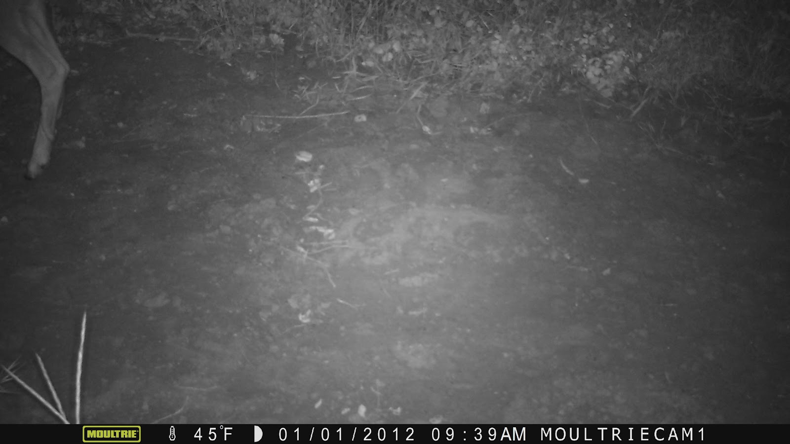
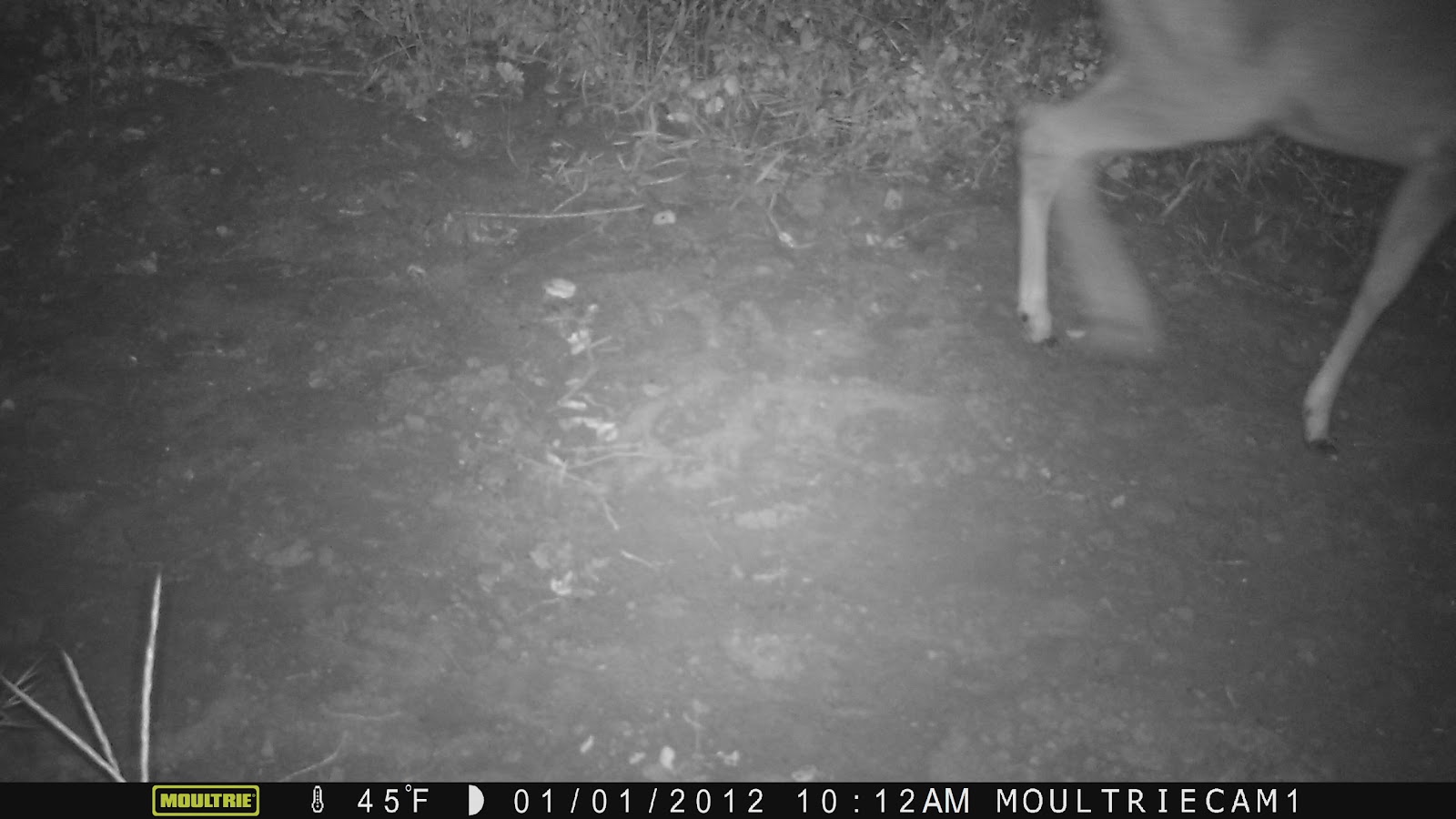
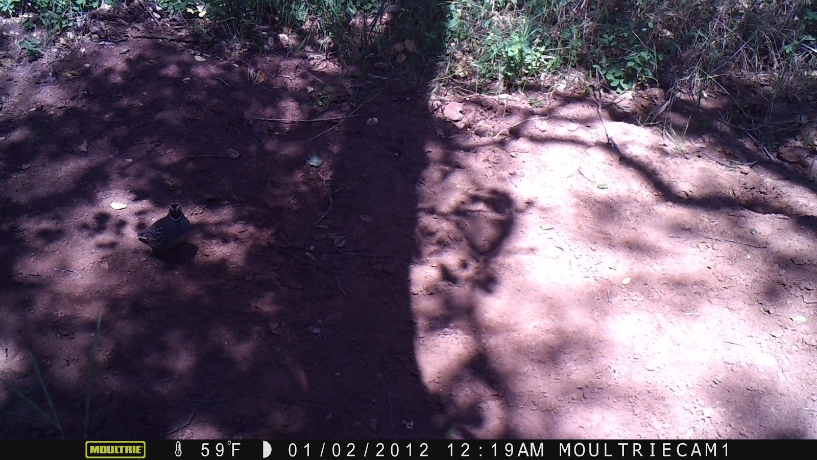
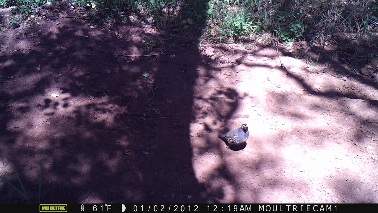
The Moultrie game cam was set to take three 3MP photos when a motion sensor was triggered, in order to accommodate a smaller 4 GB memory card. The camera was set up around 4 in the afternoon, anchored around an oak trunk. This was on the north side of the slope, at a more riparian ecosystem. A deer was observed two times during the night, though the imaging was not sufficient at this time to make greater identification. A California Quail was also observed. According to Audubon, the California Quail is most often found in "Broken chaparral, woodland edges, coastal scrub, parks, farms. May be most common in open oak woodland and in streamside growth bordered by chaparral." This reflects the location of this quail, a small oak woodland in streamside growth bordered by chaparral.
Outside Research
On Sciencing.com, environmental scientist Diana K. Williams writes, "Plant communities vary widely between north- and south-facing slopes. Warmer south-facing slopes green up sooner in spring, stay greener longer in the fall, and tend to be drier than north-facing slopes. Plants that tolerate these hot, dry conditions, such as chaparral and California buckwheat (Eriogonum fasciculatum), grow well on southern slopes in their native range. A few feet away, a cooler, moister north-facing slope, with a gradual incline may be dotted with an oak woodland and shade-tolerant wildflowers. Trees capture indirect sunlight better than low-growing grasses."
The expectations outlined in this article reflect what we found with the Huntington transect. The hot, dry conditions on the south facing slope, the Grand Entry side of the trail, exhibit California buckwheat, California sagebrush, and laurel sumac. However, just a few feet away, on the cooler, moister north-facing slope, an oak woodland exists.
Proximate to the game camera in the oak woodland on the North-facing slope is an abundance of poison oak. Despite intensive removal efforts, the rains this winter allowed for increased growth of the poison oak and it exists here prevalently. As it turns out, according to Dr. Kellogg as cited in Scientific American, "This low shrub seeks the shade, although common in very dry localities and open exposures." This again confirms the reality of the differing ecologies of the north and south-facing slopes: that poison oak would exist prevalently on the north side, where there is more shade and less direct sunlight.
At Pepperdine University, three students explored the potential effects of climate change by observing the different vegetation on North and South facing slopes in the Santa Monica mountains. They hypothesized a shift in density given longer, hotter summers, and used the differences in North and South facing slopes to see the differences in vegetation with the different climates. Further, they hypothesized that they would find more invasive species on the hotter, climate-change mimicking south-facing slope conditions. They were incorrect in that they found that native chaparral was more prevalent on north-facing slopes, but with coastal sage conversion occurring on south-facing slopes.
This study, though it explores a different area and did not confirm its hypothesis, offers interesting possibilities with regards to studying a south-facing slope as suggesting the effects of climate change on an ecosystem. One issue with it is that south-facing slopes have clearly evolved to exist as they do and that much of the issue with climate change is the difficulty for organisms to change as rapidly as their environment, but this clearly isn't replicated here. However, possibilities for future study exist with regards to invasive species, habitability for animals, and biodiversity measures.
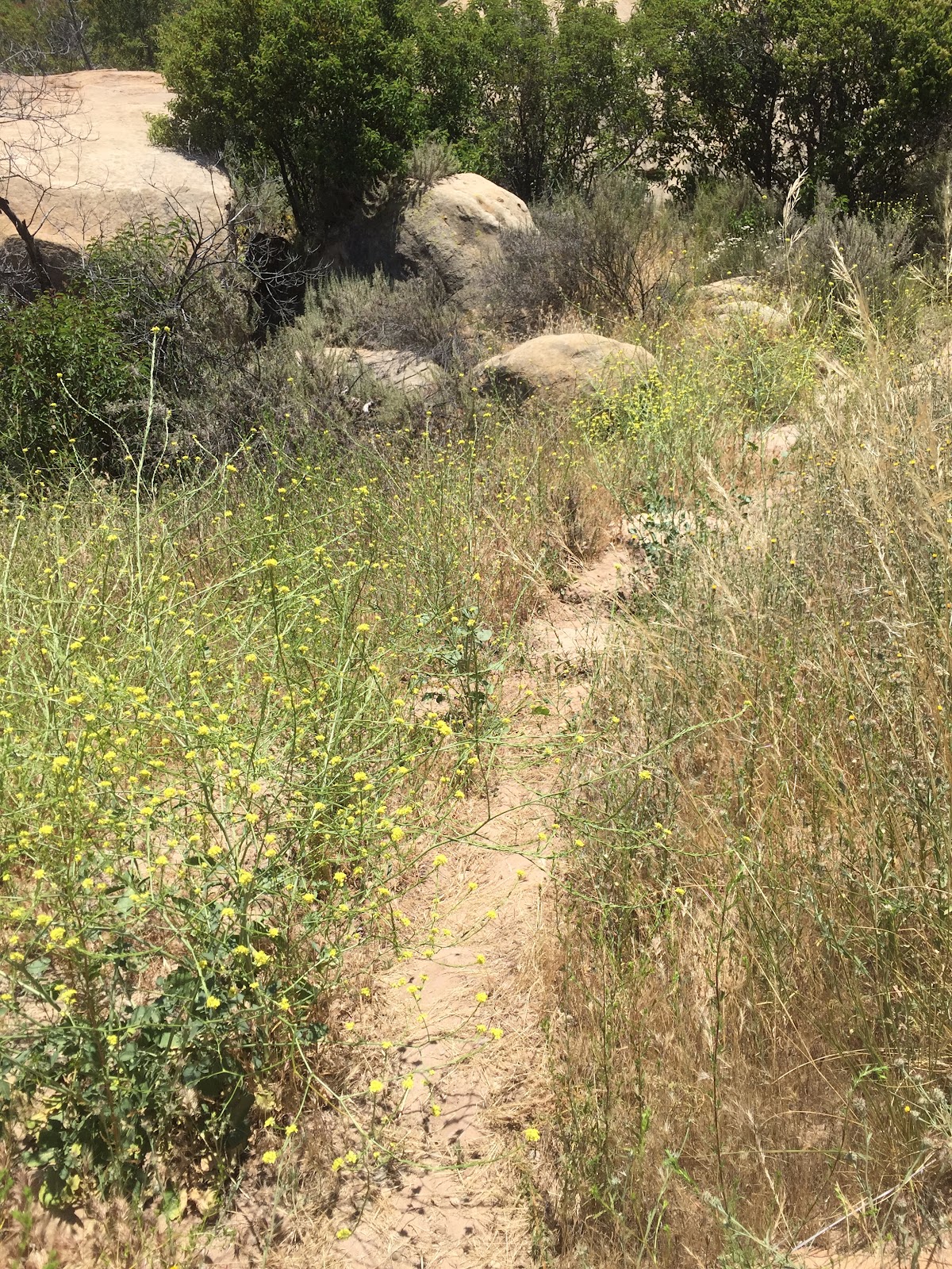
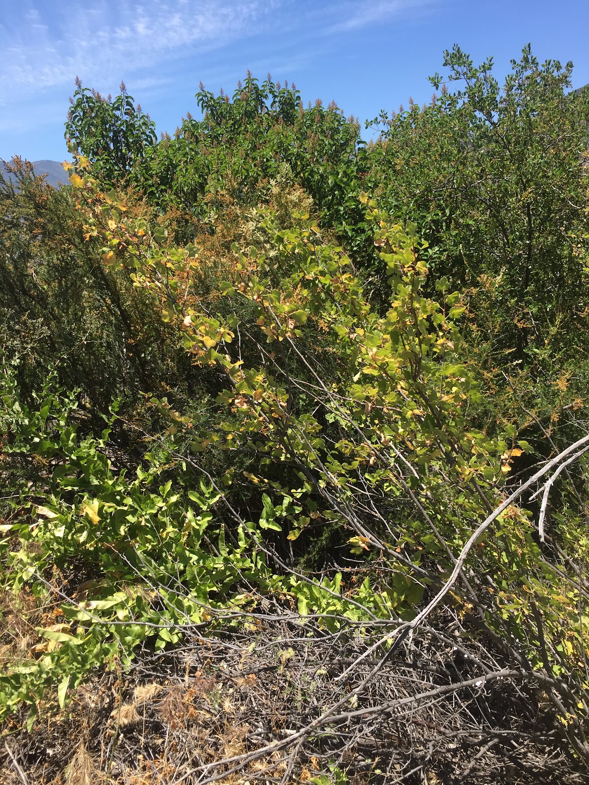
Plant ID:
**
South-facing Slope:**
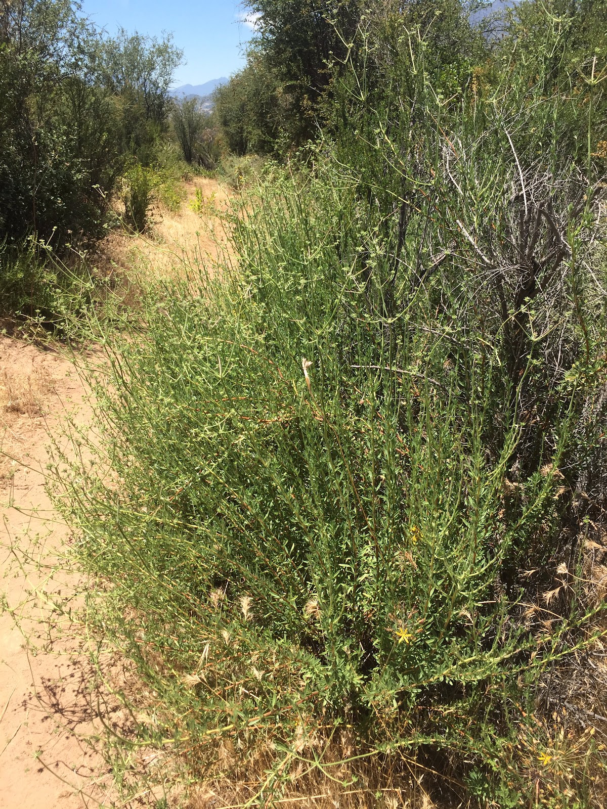
Laurel Sumac
Mustard Flower
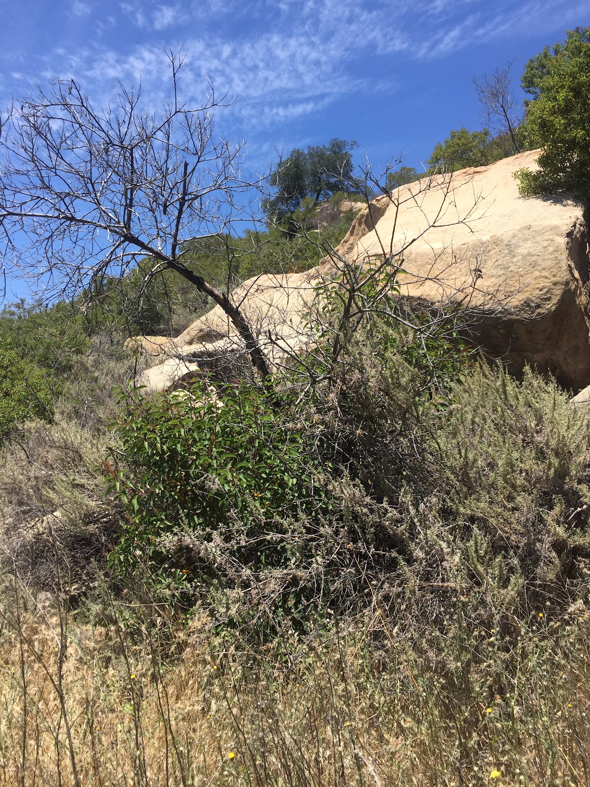
Laurel Sumac
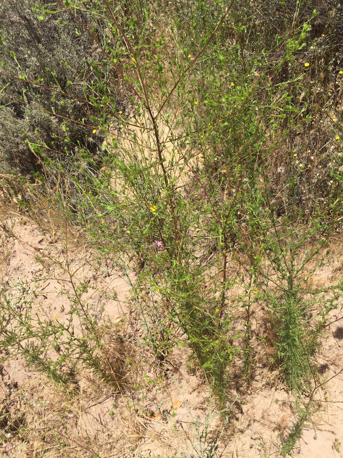
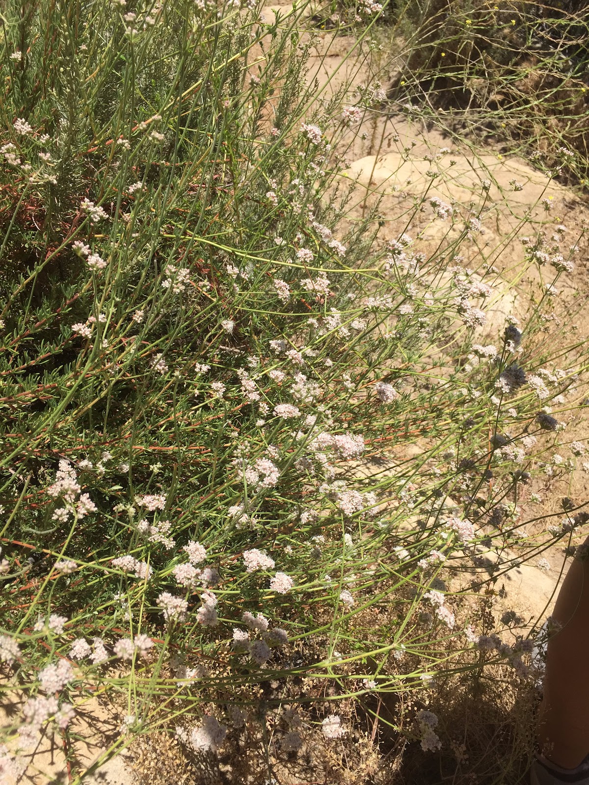
California Sagebrush
California Buckwheat
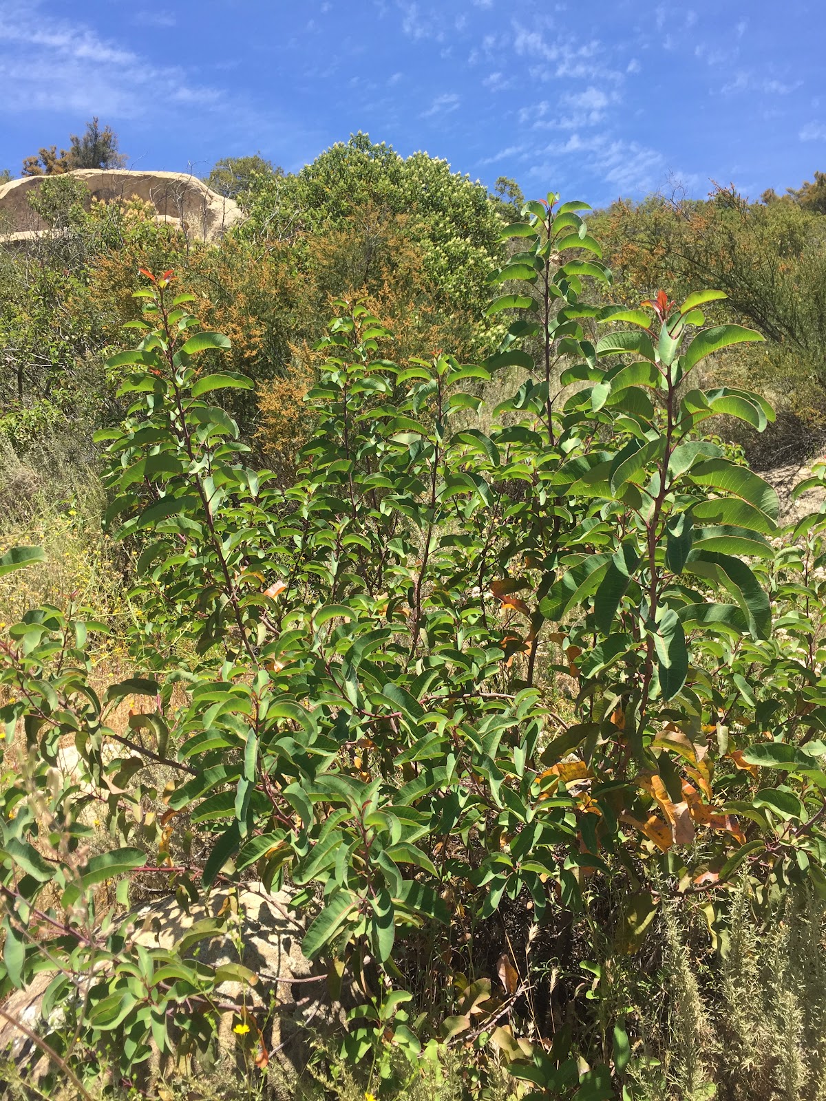
Laurel Sumac

Mustard Flower and Wild Oat

Elderberry
**
Flat region at the top of the Grand Entry trail:**
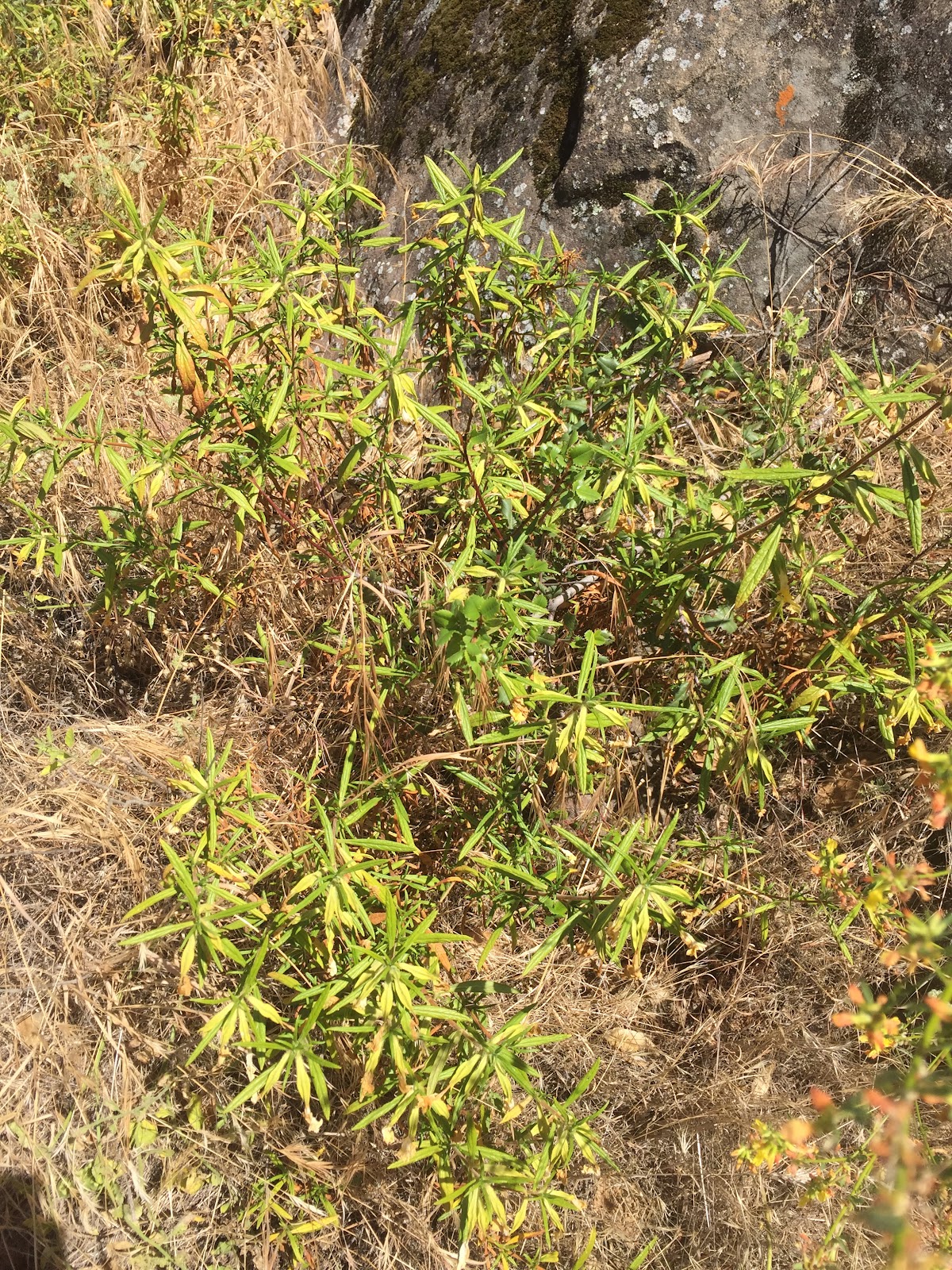
Sticky Monkey Flower
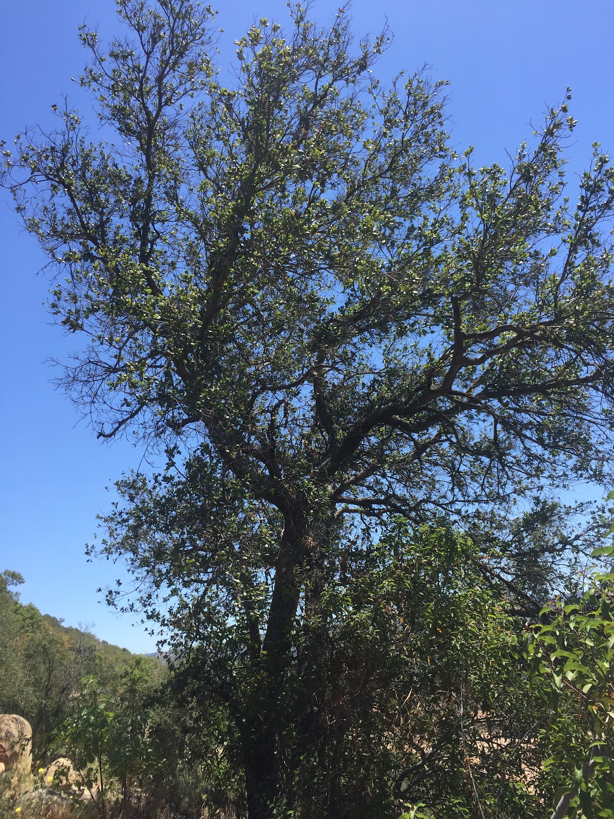
Coast Live Oak
Crustose and Foliose Lichen
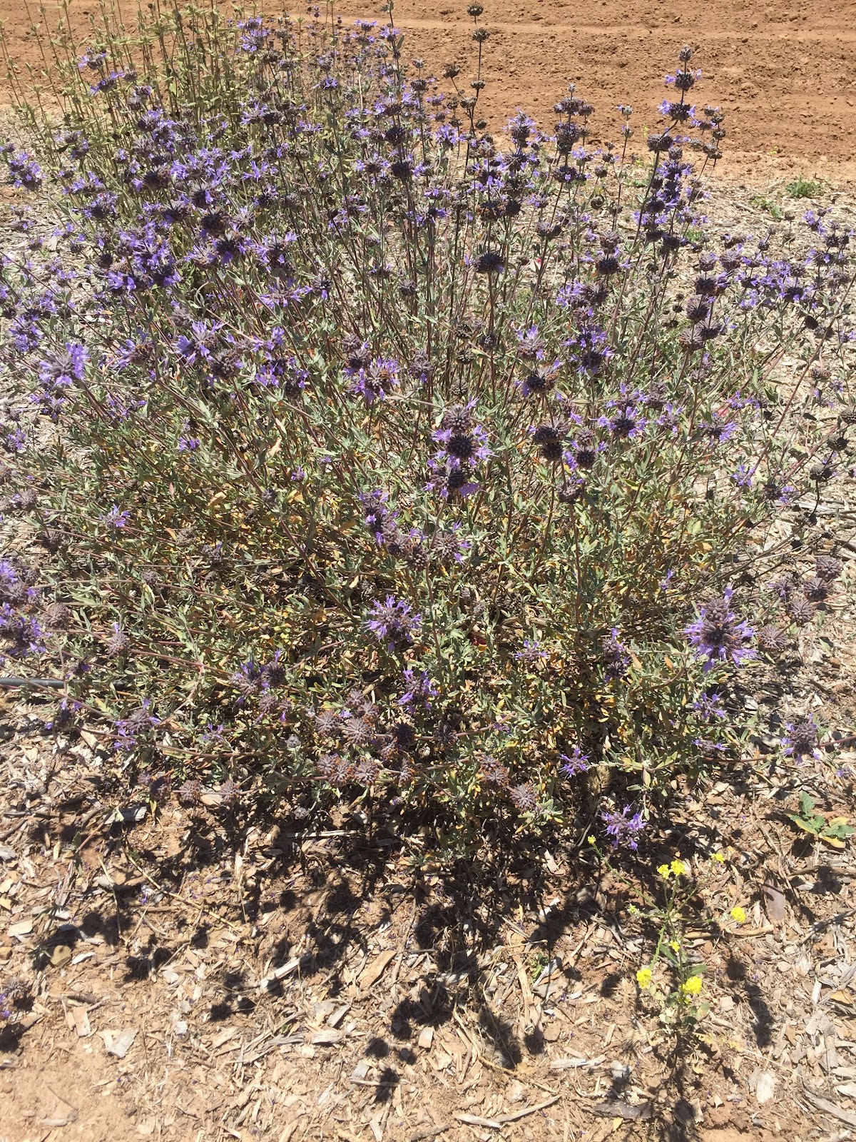
Purple Sage
Chamise and California Sage
California Buckwheat
**
North-facing slope:**
Chamise
California Buckwheat
Poison Oak
Mix of Native and Invasive Grass
Ceanothus
Coast Live Oak and Poison Oak

Sow Thistle

Sticky Monkey Flower

Invasive Grasses and Pacific Pea (Seasonal)
Foliose and Foliose Lichen

Poison Oak
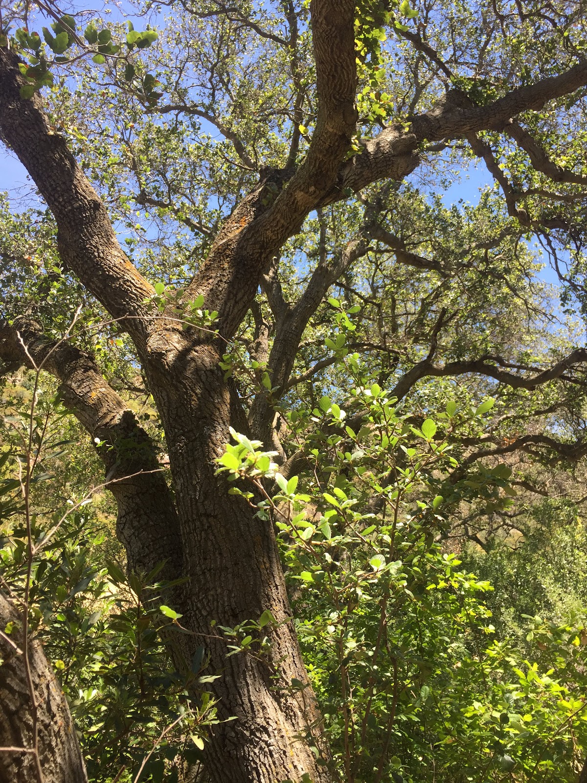
Coast Live Oak
Yerba Buena and Invasive Grasses
Recommendations
Equipment: The majority of the equipment we used proved to be very effective. The housing, string, and rubber bands seemed to sustain a concrete design for protecting the camera, though we did have some complications with our first camera, the Nikon CoolPix S4300. After 150 images were taken with the shutter button mode initiated, the function stopped working. As a result, many of the images that were supposed to be taken were not which affected the data we needed in order to analyze and observe the bioswale in depth.
Replications over time: Something we found very effective in this process (that would be effective in the future) is to make observations both from the air and ground. Using the balloon to take aerial photos helped us to understand the crucial contrast between the north and south sides of the Huntington Transect. It was also very effective to go back to the Huntington Transect and observe it by foot. This is imperative as it helps identify the contrast in plant and tree species on both the north and south sides that would not be visible from the aerial view. Some consideration for improvements in the future could be creating a more effective housing system for the camera. Though our housing systems were solid, in many instances we found that the juice container housing offset the balance of the camera and the strings attached to the balloon. In the future, it might be effective to implement a new housing system that keeps the camera balanced in order to obtain the most precise images possible.
Reflections
From this project, we learned the importance of testing your equipment prior to the actual flight. During our first flight, we experienced a problem where after about 100 photos the camera stopped taking pictures. This was a problem which could have been avoided, and for our next flight, we made sure to test our camera which ultimately resulted in a successful flight. Some other things we learned during this process were the benefits of balloon mapping compared to just using google earth. Our balloon images provided pictures with much greater detail than Google Earth. Overall our takeaways from this project were the importance of preparation and just how simple and low-cost gathering useful information can be.
0 Comments
Login to comment.