Public Lab is an open community which collaboratively develops accessible, open source, Do-It-Yourself technologies for investigating local environmental health and justice issues.
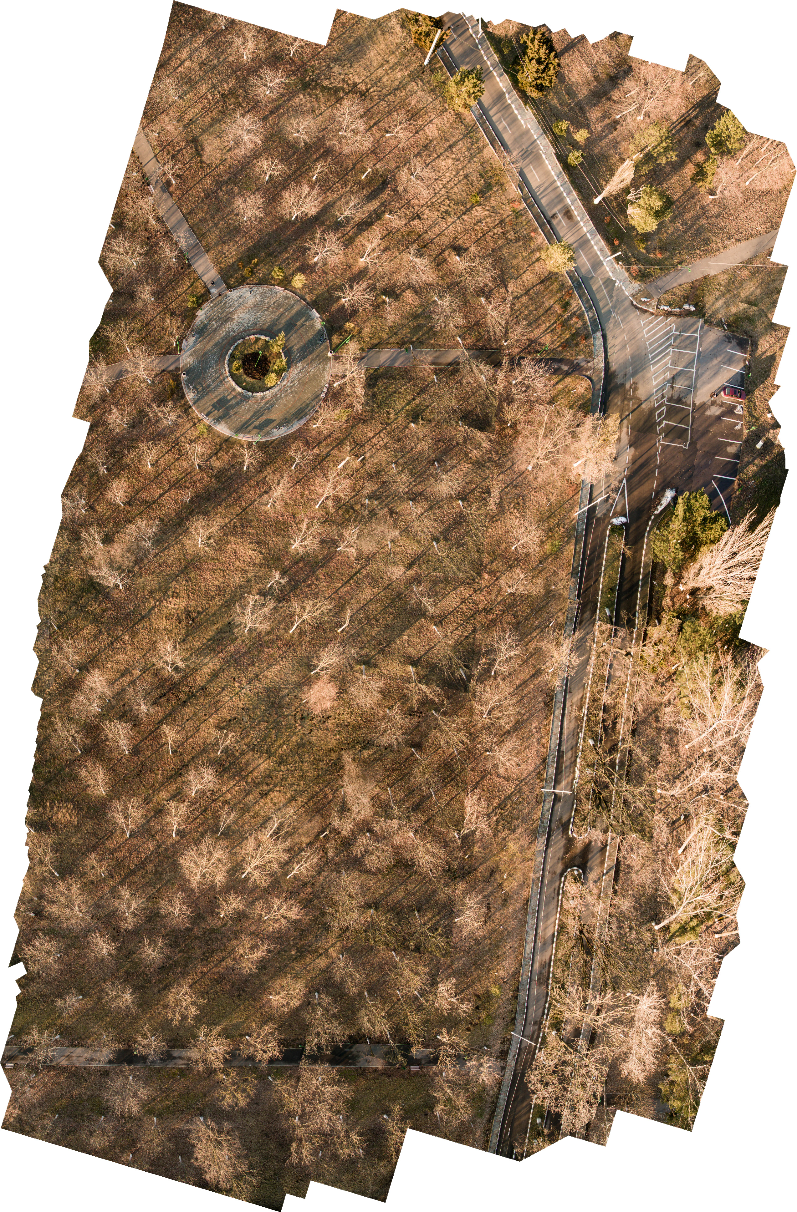
What program did you use for stitching your photoset? You can get transparency to work better if you upload a PNG with a transparency layer to mapknitter.
I tried two ways: a demo of agisoft and opendronemap suite. The problem i have is that i cannot (don't know how) resize my huge PNG/TIF to be under 10mb but i can do this with a jpeg, that's why there's no transparency.
Public Lab is open for anyone and will always be free. By signing up you'll join a diverse group of community researchers and tap into a lot of grassroots expertise.
2 Comments
What program did you use for stitching your photoset? You can get transparency to work better if you upload a PNG with a transparency layer to mapknitter.
Is this a question? Click here to post it to the Questions page.
Reply to this comment...
Log in to comment
I tried two ways: a demo of agisoft and opendronemap suite. The problem i have is that i cannot (don't know how) resize my huge PNG/TIF to be under 10mb but i can do this with a jpeg, that's why there's no transparency.
Reply to this comment...
Log in to comment
Login to comment.