What: Balloon and kite mapping workshop
When: Saturday March 10, 9 am -- 4 pm
Where: Indian Bayou and the campus of the University of Florida, Milton
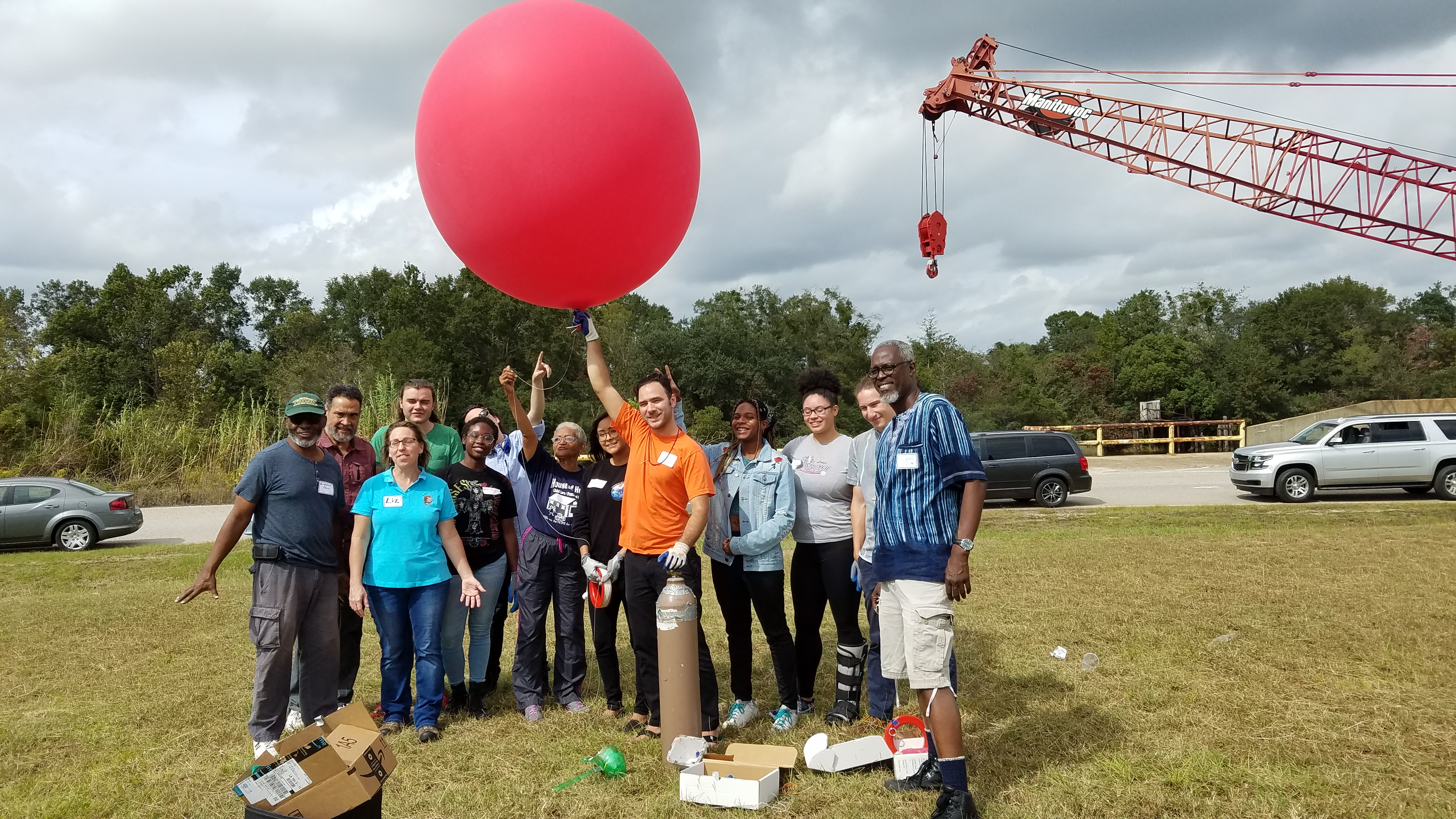
In this hands-on workshop led by Public Lab, participants will learn how to use kites, balloons, and digital cameras to capture aerial imagery data. Learning about the physics of aerial mapping, participants will loft cameras 500-1000 feet in the air to capture high resolution images of the field site. Following the site mapping, participants will learn how to use free software to stitch the images into high resolution maps.
Our morning will be spent in the field along the shores of Indian Bayou just southwest of Milton, while the afternoon will be a classroom session at the campus of the University of Florida Milton. Indian Bayou is suffering from sediment pollution and contains seagrass beds threatened by the pollution, making it a great location for aerial monitoring.
Participants should dress in clothing that is comfortable for time indoors and outdoors. Hats, sneakers, sunglasses, sunscreen and layers are recommended. We ask attendees to also please bring a laptop computer if they have one, though it is not absolutely necessary. Shared computers will be available for those unable to bring one. Lunch and all other materials and equipment will be provided.
Directions to the field and classroom site and additional information will be provided upon registration. Attendees under 18 must have a parent or guardian present. Registration is required (below), and space is limited. Questions? Contact Christian Wagley at: christian@healthygulf.org
This event is brought to you through the combined efforts of multiple partners, including: Public Lab; Bream Fishermen Association; and Gulf Restoration Network.
0 Comments
Login to comment.