Aerial photography wiki
Organizes information on balloon mapping, kite mapping, and pole mapping, as well as activities and questions on aerial photography. Within the balloon, kite, and pole mapping wikis, you’ll find information on how to assemble and use these different mapping tools.
How to map wiki
Written as a workshop, this wiki describes 3 activities that’ll get you mapping: 1) decide on which type of mapping you will do, 2) prepare your mapping materials, and 3) go map!
MapKnitter wiki
Information on MapKnitter.org, Public Lab’s free and open source software tool for combining several aerial images into a map that you can view online and print.
Host a balloon mapping workshop
Map with other people! This activity outlines how to get people together to map.


 _Image: annotated map of Bayou Manchac sewerage problem, from [this post](https://publiclab.org/notes/eustatic/2-5-2013/bayou-manchac-map-sewerage-problem) by @eustatic_
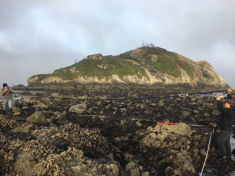
 _Image: a form of pole-mapping to capture images of rocky intertidal shorelines for the TIDES project, described in [this post](https://publiclab.org/notes/RosaL/06-10-2021/tribal-intertidal-digital-ecological-surveys-tides) by @RosaL_
 _Image: balloon mapping water flow in the Gowanus Canal with the help of red food dye, from a comment in [this post](https://publiclab.org/notes/liz/10-01-2014/next-attempts-at-dye-tracing#c10557) by @eymund_