Pipeline Mapping
Pipeline Mapping is a project in the Western Canada region.
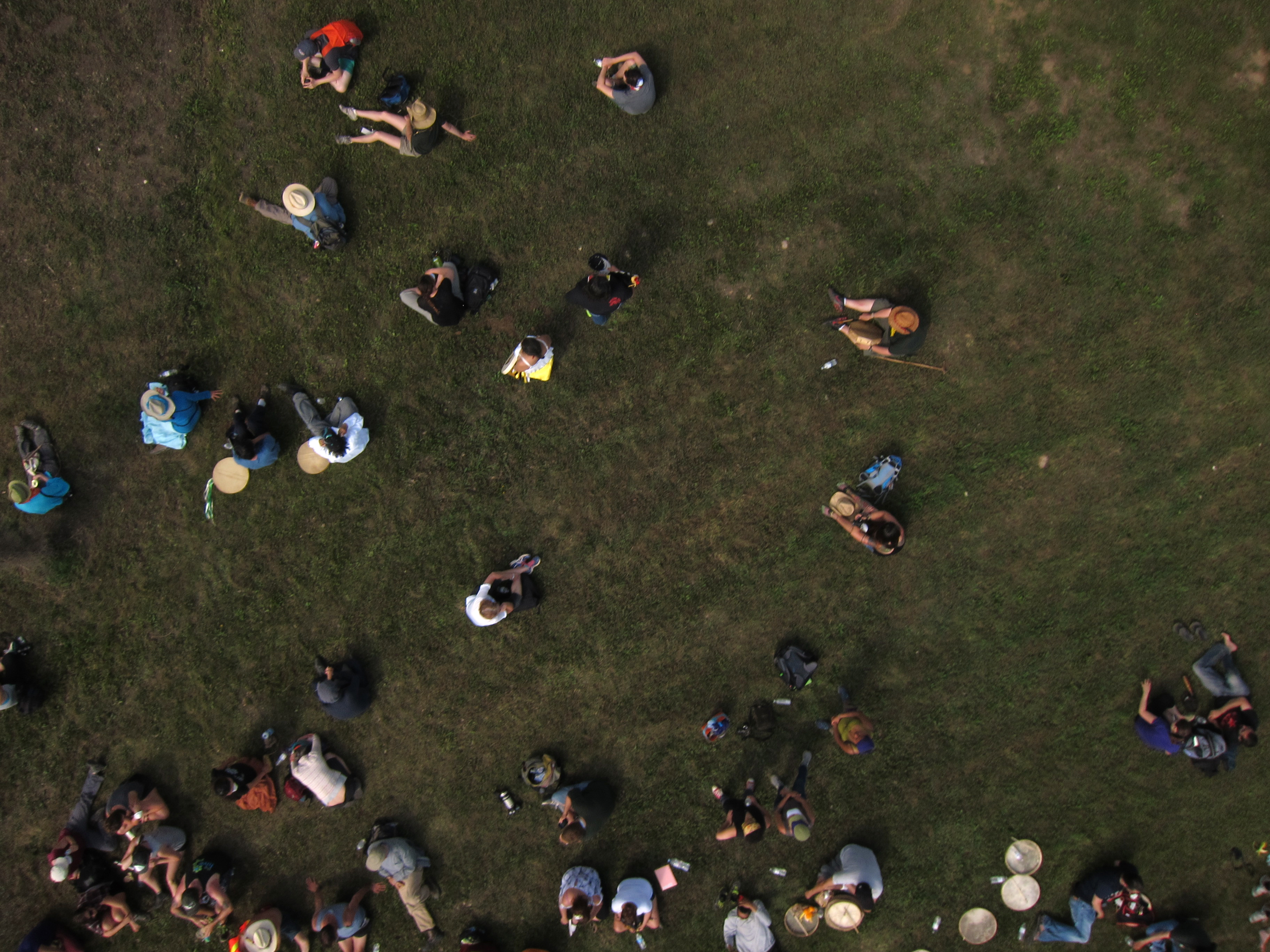
Pipeline Mapping is a project initiated by Public Lab organizer and Fulbright scholar Ann Chen to collectively map the Northern Gateway Pipeline route through aerial imagery, oral histories, field recordings, photos and video. From October 1, 2014 - July 1, 2015, she will be traveling along the Northern Gateway Pipeline route organizing aerial mapping workshops with local communities to create an environmental picture and story about these places.
If you think you would like to get involved or partner with Ann to promote and organize workshops in your community, join the Pipeline Mapping Google Group. Are you interested in mapping another pipeline? Join the Pipeline Mapping google group to be part of a growing discussion around environmentally monitoring pipelines.
Join Pipeline Mapping Google Group
Contact pipelinemapping [at] gmail.com
Relevant Links:
Press: