What I want to do
Update maps with construction site activities across the street from Mocho Park, Livermore CA. Recording construction or other activities over time is one use of these tools. Initial mapping of this site was conducted in September 2013 and described in note.
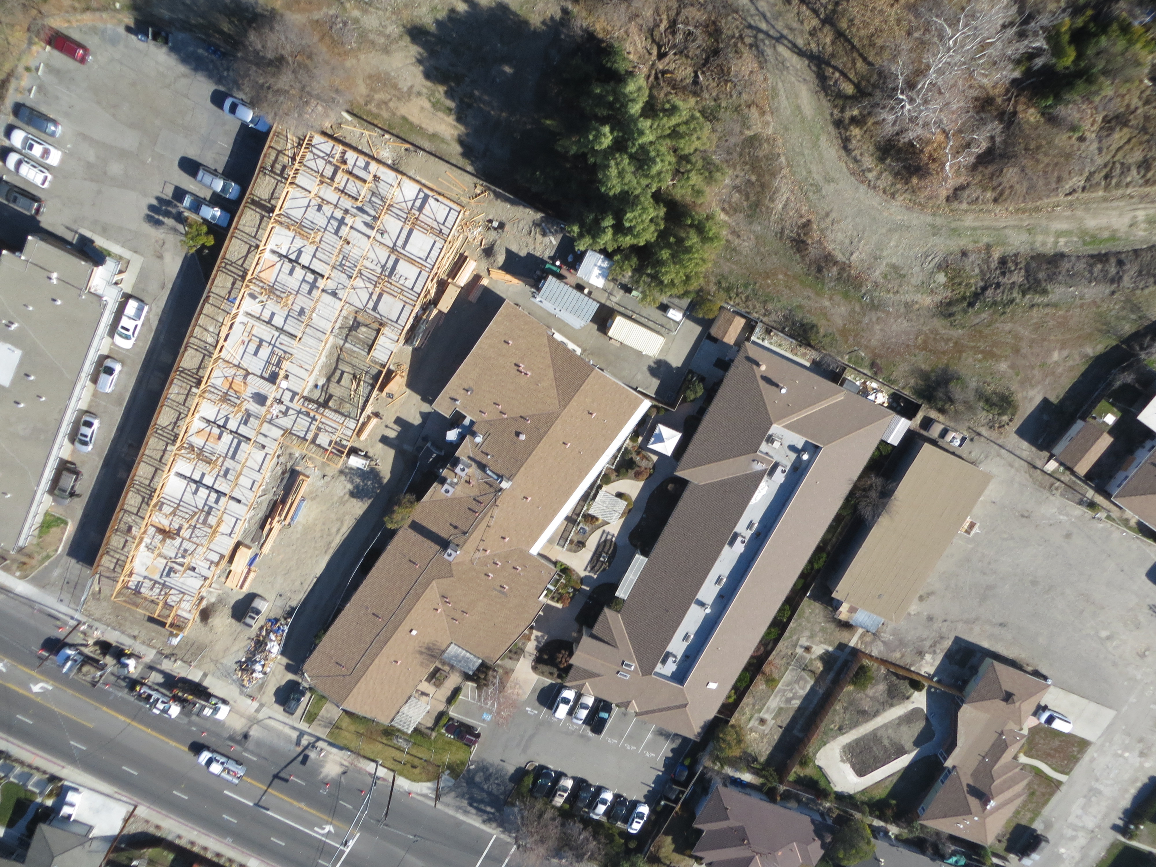
The following image of the site shows initial site preparation and excavation for footings. The main image above shows the construction progress as of mid-January 2014.

My attempt and results
Flew two KAP sessions to capture construction site activities and adjacent areas. Flew Delta 9' Levitation with juice-bottle rig, two-point connection to kite line with loop through S-biners with Brooxes Hangups (I like this as alternative to Picavet), SX260HS, running CHDK intervalometer script. During both sessions initial wind conditions were such that flying a second Infrablue camera was not advised.
The wind dropped during the first session and I was not able to capture more than the edge on the construction site.
During the second session the winds were adequate and I was able to cover the construction site.
Questions and next steps
Continue to update maps as construction progress continues.
0 Comments
Login to comment.