What I want to do
Last weekend Chris Walley of MIT and myself had the opportunity of directing a small workshop in Southeast Chicago on aerial mapping of petroleum waste piles (petcoke) in the area (for more info on methods see the research note here). The planning and presentation of this workshop was a collaborative effort between myself, Chris Walley of MIT and Sara Wylie of Northeastern University, as well as various community members. Chris and Sara's previous work in the Chicago community, balloon mapping and community workshops around balloon mapping greatly helped in the planning and execution of the workshop.
The group was around 10 people, some of whom were familiar with the concept of balloon mapping and/or public labs, and others who were not. With this research note, I hope to provide a simple 'how to' guide of conducting a workshop, showing what worked for us. The planning of the was also work was also done in collaboration with Sara Wylie of Northeastern University
Our goal for the workshop was to use the two balloon mapping kits myself and Chris Walley of MIT had brought for the community members to show not only possible uses of balloon mapping data and how to put together the camera rig etc, but also go out and map the area later that day, weather permitting. None of the community members had participated in balloon mappings before, but were all excited for this type of community-based research.
Attempts and results
The day before, I had the opportunity to travel around the area with a few of the local activists who would attend the workshop the next day. This was vital to a successful balloon mapping on such a short schedule (we really only had two days to conduct the workshop and get photos), as it allowed us to come up with possible locations for the mapping to take place. Together we identified two main areas that the community was interested in mapping, and three possible locations that we could use for the mapping. We looked for a few things in each of these areas:
--proximity to the petcoke piles (all three were as close to the piles as possible to ensure the best maps)
--public vs. private space (two of the areas were on public property such as a sidewalk/road and an open public area. The third area was on a private residence, owned by a relative of one of the activists to which we could get access
--open air (there were a few areas we looked at but decided not to attempt due to restrictions such as trees and power lines. There were a few locations that we decided could be used if the wind was low the next day, but otherwise would be too big a risk)
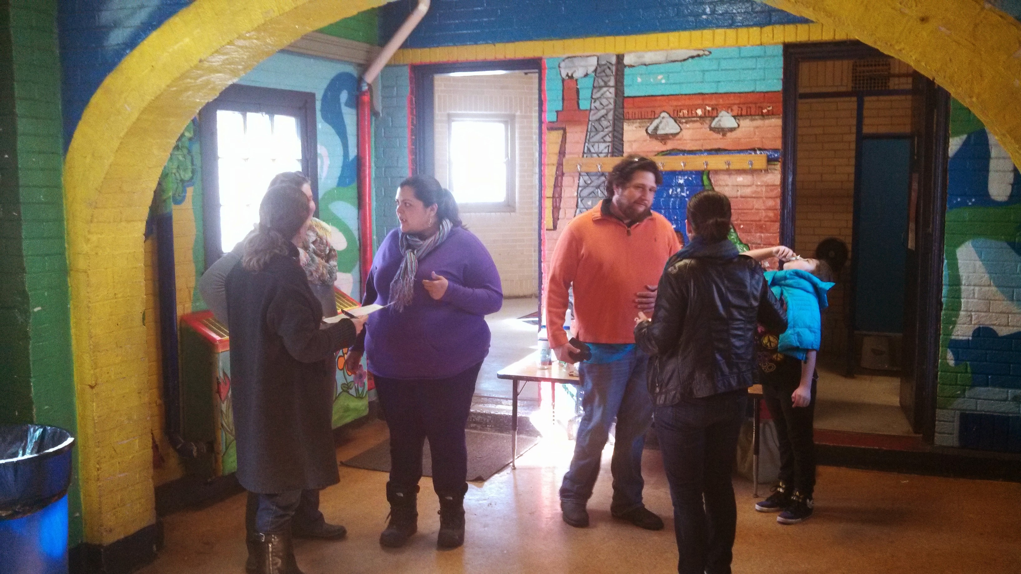
The next day, we began the workshop fairly early (9am). As people wandered in, I gave a short presentation on balloon mapping, its uses (using examples such as Gowanas Canal and the Deep Water Horizon oil spill) the attendees had many questions and comments on these, as well as questions about Public Lab and the Map Knitter software. As I had conducted a few balloon mappings in the past, I felt comfortable answering their questions. Overall everyone was very excited about the workshop and especially the idea of gathering the data themselves, owning it and using it for their own purposes.
After the presentation, Chris and I broke the group into four smaller groups to practice constructing the balloon rig, as well as taking estimates of pile heights to use later in estimating the volume of the piles:
--Constructing the camera rig (this included the camera harness, housing and connection to the string)
--Securing the balloon (how to blow up the balloon, and tie it off/connect it to the line)
--Setting up the camera (putting the camera into 'continuous shot' mode and keeping the shutter pressed)
**--Estimating the pile heights (see research note for these methods)
Chris and myself jumped from group to group as needed. Once all four groups had mastered their technique (and an attendee had caught each process on film to be used in the future if the group needed a refresher), we swapped groups so everyone at least knew two of the skills. If we had had more time in the space, we likely would have swapped twice more, but we ran out of time and as it turns out performing the mapping succeeded in this goal anyways.
During the mapping, we visited three locations, only flying the balloon from two due to wind constraints. At each location, the attendees walked their peers through what they were doing (attaching the camera, securing the balloon etc.) and everything was again filmed for future use. For the first mapping, I assisted by holding the string when necessary, or securing the camera etc. At the second location, I tried to be as hands-off as possible. I also requested that no one perform the same task they had done at the previous location. This made sure that everyone in the group would know how to fly the balloon in the future. I was very impressed by how enthusiastic everyone was, and it we even acquired a bit of an entourage from location to location as more residents heard about the project and stopped by to check it out. By the time the second flight was complete, I was confident everyone could easily perform the project in the future.
That night, I sat down with two of the community activists who were comfortable with learning how to use the Map Knitter software. We went through the photos we had taken, and uploaded a few of them to the site, and began to place them. It took some time explaining all the controls and quirks with the software, but by the end they both understood how to add to the map.
All in all it was a great experience, and very successful. I'm confident the group will be able to perform more balloon mappings in the future, and I can't wait to see what they come up with!
1 Comments
Awesome!
Reply to this comment...
Log in to comment
Login to comment.