Mapped by keimpe, Keimpe de Heer
Cartographer: keimpe, Keimpe de Heer
Published by gonzoearth
52.07450508204949 N, 5.122174037367596 E
188 views
Ground resolution: 18.0 cm/px
Capture date: 2013-05-01T00:00:00
Publication date: 2013-06-04T00:00:00
License: Public Domain
Mapped by keimpe, Keimpe de Heer
Cartographer: keimpe, Keimpe de Heer
Published by gonzoearth
52.07450508204949 N, 5.122174037367596 E
141 views
Ground resolution: 18.0 cm/px
Capture date: 2013-05-01T00:00:00
Publication date: 2013-06-04T00:00:00
License: Public Domain
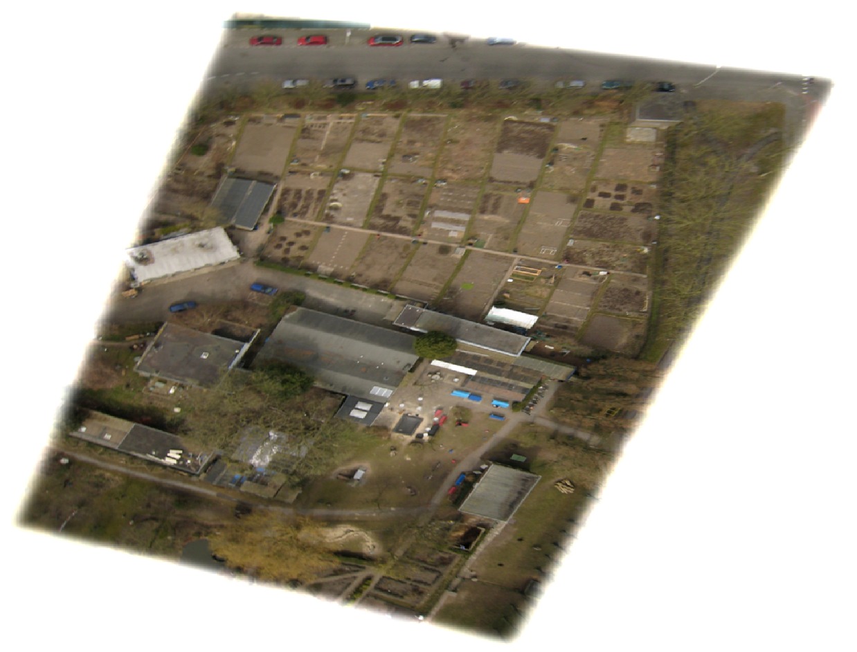
I am actively trying to set up a research experiment with a humoristic twist to it. The hypothesis is that 'White anglo-saxon males in the age class 30+ are more likely to build illegal sheds in their gardens compared to foreign male inhabitants in the same geographical area. We plan to connect both kite satellite imagery of back yards with open data sets of the municipal government on the composition of populations in a specific area, land registry data, etc. By combining this data we should be able to compose an answer to the question why are anglo-saxon males are so eager to build sheds in their gardens :)
So..this is why I build a Plots-Utrecht..
0 Comments
Login to comment.