New York City
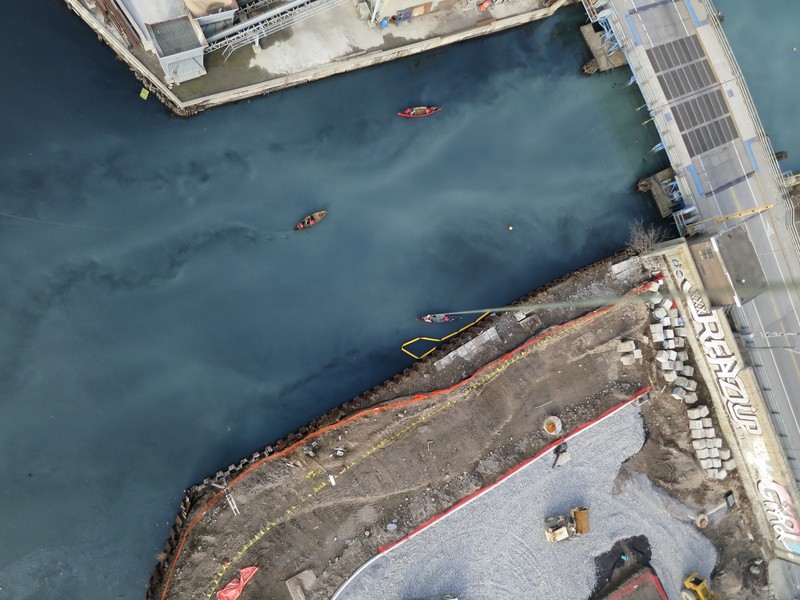
Several groups are using PLOTS tools in the NYC area, including students at Parsons, Pratt and Columbia. Some are using balloon mapping to document at-risk ecological sites.
More updates soon, but for now take a look at Grassroots Newark:
http://grassrootsnewark.wordpress.com/
As well as a recent workshop held at Union Square:
http://grassrootsmapping.org/search/parsons
(photo CC Jen Hudon)