Editing OpenStreetMap with balloon maps
This is a revision from March 09, 2012 15:12.
View all revisions
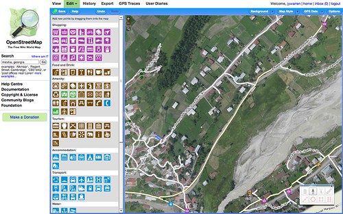
It's easy to add your MapKnitter exported map as a background layer when editing OpenStreetMap in Potlatch 2. In this example I'm using a map of Mestia, a city in the Svaneti region of Georgia.
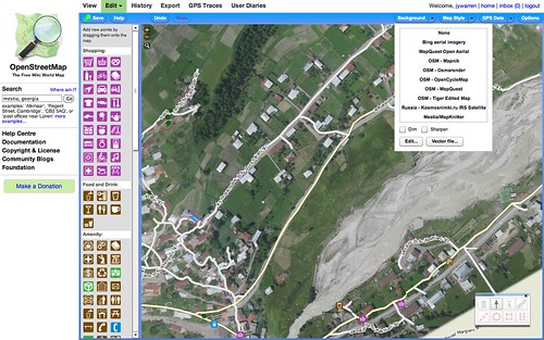
First, open the "backgrounds" menu and choose "Add":
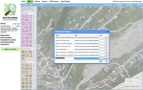
Then, add a new background layer, using your map's "OSM-style TMS" link, with added z,x,y like this:
https://mapknitter.org/tms/mestia/alt/$z/$x/$y.png
Where "mestia" is your map's name. See screenshot:
You can turn off "dimming" to see the map more clearly:
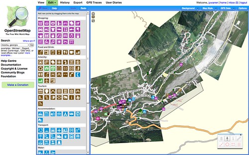
Zoom in and see how well your balloon map fits existing data. Then trace to add more features: