Balloon Mapping
Over the last year, we’ve build a global community of mappers who are engaged in civic issues with low-cost mapping tools like balloons, kites, and remote-control airplanes.
We're helping citizens on the Gulf Coast use balloons and kites to produce their own aerial imagery of the Deepwater Horizon oil spill… documentation that will be essential for environmental and legal use in coming yeas.We believe in complete open access to spill imagery and are releasing all imagery from the oil spill mapping project into the public domain. Download the data for this project at http://grassrootsmapping.org/data
Check out the community blog at http://grassrootsmapping.org/
Get started
Do you have a site in mind which you'd like to map? Looking for collaborators or just need some tips and advice?
- Join the mailing list -- it's full of people all over the world who are offer advice and support
- Contact Public Laboratory staff directly
- Download the 5-page illustrated guide to balloon and kite mapping
When getting in touch, be sure to mention:
- the coordinates of the site
- context; what you'd like to use the data for
Making your map
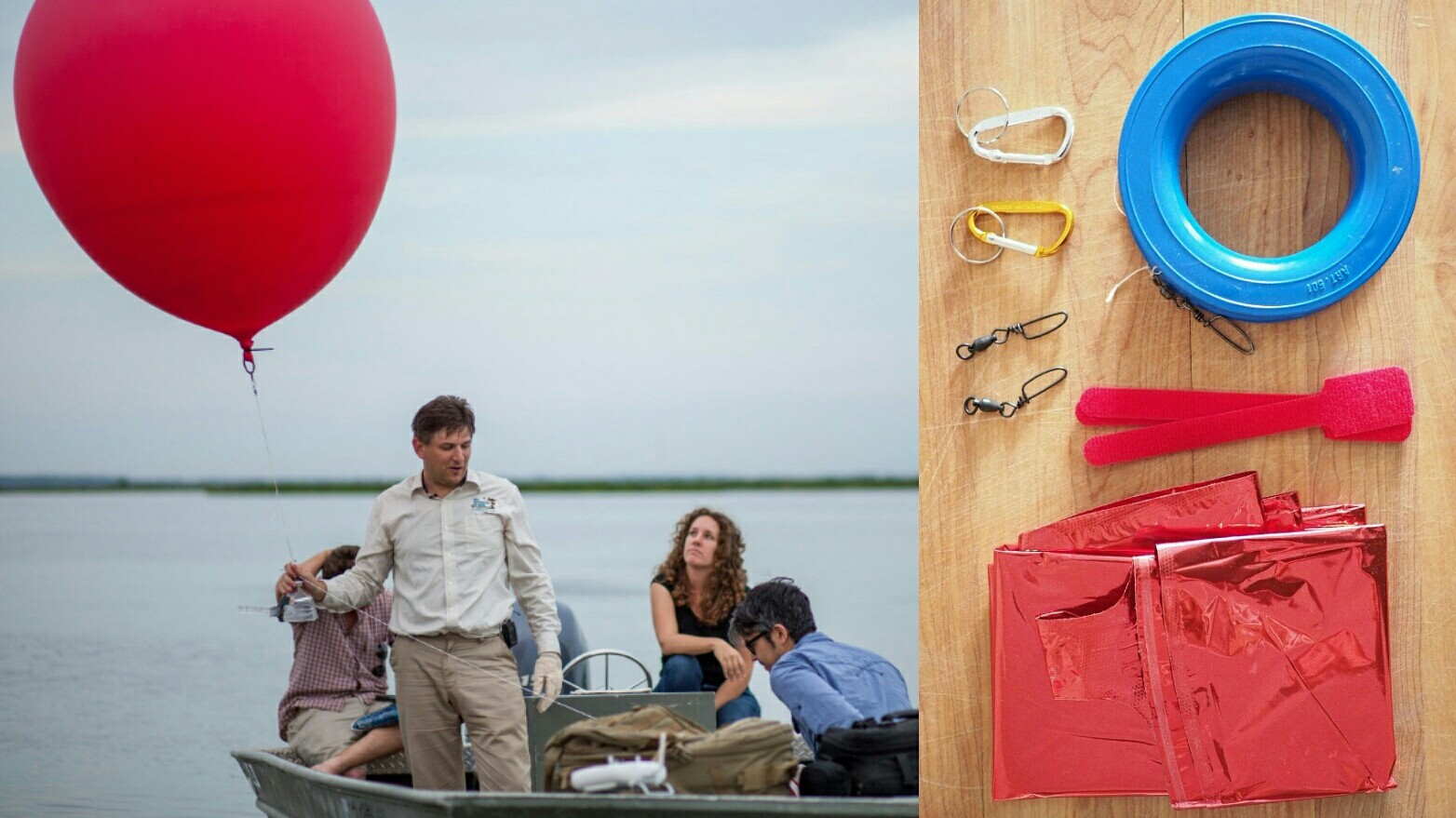
- To begin ordering the parts for a balloon mapping kit read the Balloon Mapping Materials page.
- Be sure to review the Balloon Mapping Regulations for the US, or the equivalent wherever you are planning to map.
Once you have some aerial images:
- Contact the Public Laboratory team to get your images hosted on MapMill.org, and reach out to the Grassroots Mapping mailing list to get help sorting them.
- Use the Knitter to stitch your photos into maps online
Variations
- Kite mapping - A large kite photography community exists -- find online resources and a list of recommended kites.
Advanced techniques:
- Ground Control Point Targets can help you figure out how your images fit together if there are not good pre-existing maps for your site
- Infrared Balloon Mapping - Balloon mapping with a modified camera which takes infrared pictures. Good for identifying vegetation and its health.
- Hydrogen ballooning - don't try this yet, but we're looking into this for places where you can't get helium, or it's too expensive. [[balloon-mapping]]