Mapped by Stewart Long, Ben Rodriguez
Cartographer: Stewart Long
Published by gonzoearth
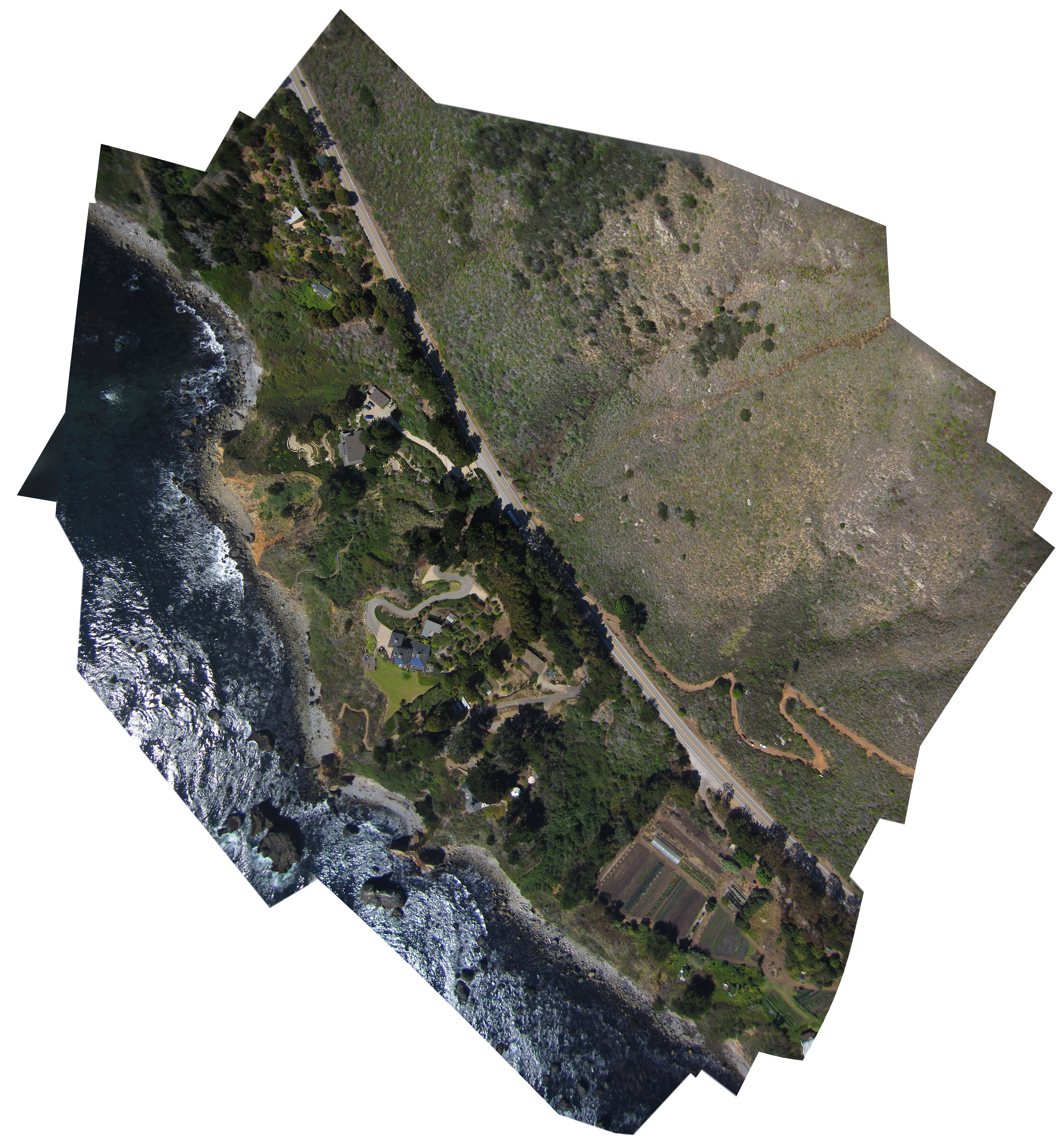
36.12907418748764 N, -121.64344106359314 E
193 views
Ground resolution: 16.25 cm/px
Capture date: 2012-09-14T00:00:00
Publication date: 2013-01-10T00:00:00
License: Public Domain
Mapped by Stewart Long, Ben Rodriguez
Cartographer: Stewart Long
Published by gonzoearth
36.12907418748764 N, -121.64344106359314 E
166 views
Ground resolution: 16.25 cm/px
Capture date: 2012-09-14T00:00:00
Publication date: 2013-01-10T00:00:00
License: Public Domain
This is from our max altitude; 2,000' AGL.
The first of two maps, with a lower altitude map of the Wind & Sea house coming soon.
This is from our max altitude; 2,000' AGL.
The first of two maps, with a lower altitude map of the Wind & Sea house coming soon.
0 Comments
Login to comment.