Intro
Wetlands are our home in the Gulf South, but Tallow (Triadica sebifera) are an unwelcome tree pest in efforts to restore urban wetland forest canopy values in the New Orleans Area. Many areas have different approaches and potentials to manage what has become urban wetland forest with a Tallow canopy. There are many values to New Orleans wetlands, which include the largest urban wildlife refuge in the United States, and shade and temperature mitigation is one of those values.
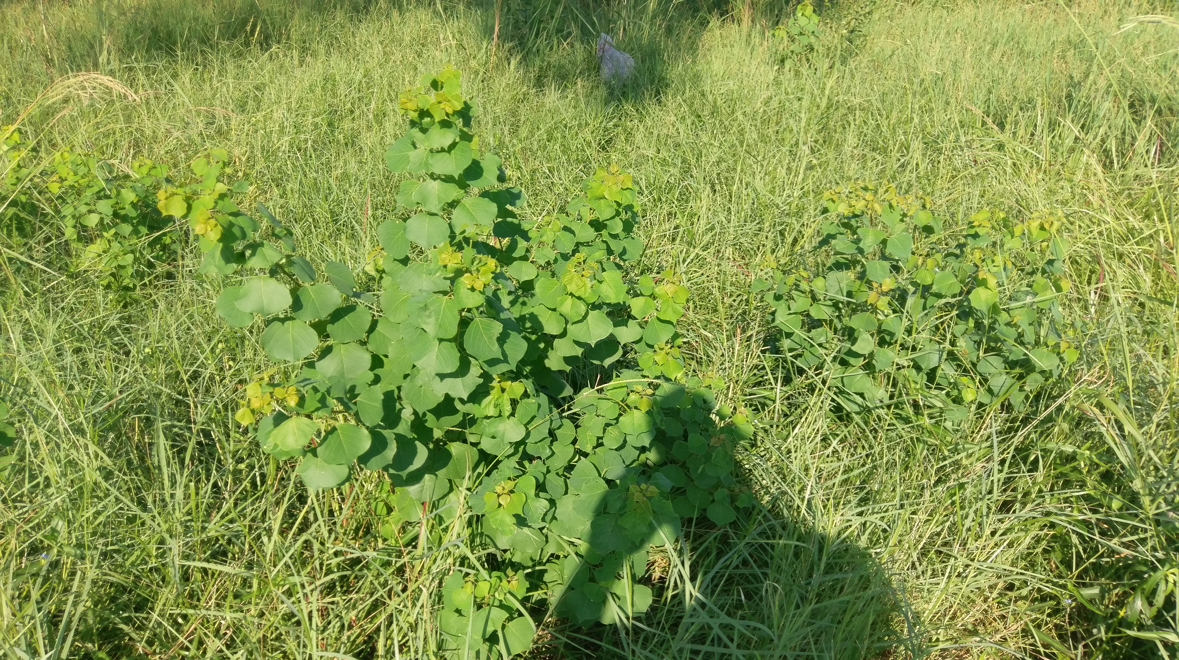
While I would eschew the word "invasive" for a tree in 2019, for a species that was once systematically planted by the United States government as an Energy Crop, and is particularly suited to disturbed, flooded areas that humans create, it is an undesirable tree in newly-built green infrastructure and gardens in New Orleans--as well as older parks fallen into disrepair-- due to its ability to suppress the growth of native wetland plants and animals with intense allelochemical which has a distinctive acrid smell. The tree was cultivated for its oily, acrid seeds which could be manufactured into candles. These seeds, which were a national asset, are now a large liability. For folks with Green Infrastructure training, there is a need to develop a rapid assessment of the population of a species outside of planting plans, that can require a costly intervention as time accumulates.
Urban residents are not necessarily willing to get rid of Tallow, since they may be the only standing shade tree species in New Orleans, in some areas, particularly areas which flooded with saltwater after Katrina. As climate heats up, shade is at a premium in New Orleans.
There's a lot someone can do with a old, GPS-enabled smartphone, even without a data plan. I would like to develop TRAGI, a Tallow Rapid Assessment for Green Infrastructure, as something community members can do, and Green Infrastructure certified folks can assess with Open Source Software, Open GPS Tracker and GeoSetter.
Method
Field Equipment--community level
- smartphone with GPS and camera capability, charged. Open GPS tracker, downloaded.
- project area or planting plan, with permissions
- a couple of hours
Process This is written for swales visible via the road. It can be adapted for a Mountain Bike for Green Infrastructure away from a road, or a pair of folks walking terrain.
Make sure your phone has GPS enabled for photographs.
Plan your route ahead of time. As this is a rapid assessment, consider what area of the site you can cover within 2 hours. Make a note of what areas you think you can cover, and what you can't. Consider that each city block is a survey unit.
Note the rain history. This may impede your ability to survey the area, and is generally useful for Green Infrastructure Surveys.
Note the start location, time and weather. Turn on Open GPS Tracker For each block, Take a location-enabled photo of each tree, up to 5 photos per block.
For the entire route Make a tally for each tree seen. Make a tally mark if the tree is taller than ~9ft. Make a tally mark if the tree has seeds. Note the end location.
Enter the information in our draft form.
Email the photos and the Open GPS Track to an email address of a Green Infrastructure Certified person or land manager with Geosetter.
Preliminary Results
Processed Map
Discussion
Tallow will remain a pest species in Green Infrastructure, due to its desirable shade value, large seed production, and its ability to colonize wet areas more rapidly than other trees. Inspecting for tallow is relatively simple, even if intervention may not be. There remains a need for a rapid assessment method for tallow which colonize Green Infrastructure.
0 Comments
Login to comment.